

Pollagh
Irish name: Pollach
A bog village on the canal’s longest level, known for its 1907 church with a carved bog-oak altar and windows from the Harry Clarke studios.
Desk research, not yet checked on site · Position: © OpenStreetMap contributors · Report a change
Moor here
No mooring details yet.
Today
- Loading today’s conditions…
Forecast, warnings and water levels
Weather and water
Loading the latest conditions…
About Pollagh
Pollagh, also spelled Pullough, sits on the longest level of the whole canal, a lock-free run of about 15 km between the 31st and 32nd locks, and the water divides the village in two. The only crossing is Plunkett Bridge of 1809, whose tight double bend surprises drivers. Barges once carried peat and bricks from here, and Bord na Móna’s old works at Turraun are now a nature reserve with a lake and a bird hide; a greenway link continues to Lough Boora Discovery Park, with trails, bike hire and land art. In the village, St Mary’s Church of 1907 has an altar, pulpit and seat carved from bog oak and two windows from the Harry Clarke studios, installed in 1936. Two easy loop walks of 3.2 km and 5 km start at the church car park. We have not yet checked the moorings here.
Things to do 3
- Heritage
St Mary’s Church, Pollagh
A 1907 church with an altar, pulpit and seat carved from bog oak and two Harry Clarke studio windows.
- Walk
Pollagh Loop Walks
Two easy loops along the canal and peatland from the church car park: 5 km (about an hour) and 3.2 km (about 40 minutes).
Website (opens another website) - Park
Lough Boora Discovery Park
Over 2,000 ha of rewilded peatland with trails, bike hire, land sculptures and birdwatching, reached by the greenway link at Turraun; free and open every day.
Website (opens another website)
Not listed yet: eat & drink and services. Know one? Tell us
Neighbours by water
- Rahan
- Belmont Lock Next opening Sat, 31 Oct at 07:27
- Tullamore
Show 3 more
- Shannon Harbour
- 36th Lock, Shannon Harbour Next opening Sat, 31 Oct at 07:28
- Daingean
≈ distances are computed along the water, not along the marked channel. Times are our estimate: 5 km/h and 20 minutes a lock. Check the Waterways Ireland marine notices
Photos 1 photo
No photos match these filters yet.
-
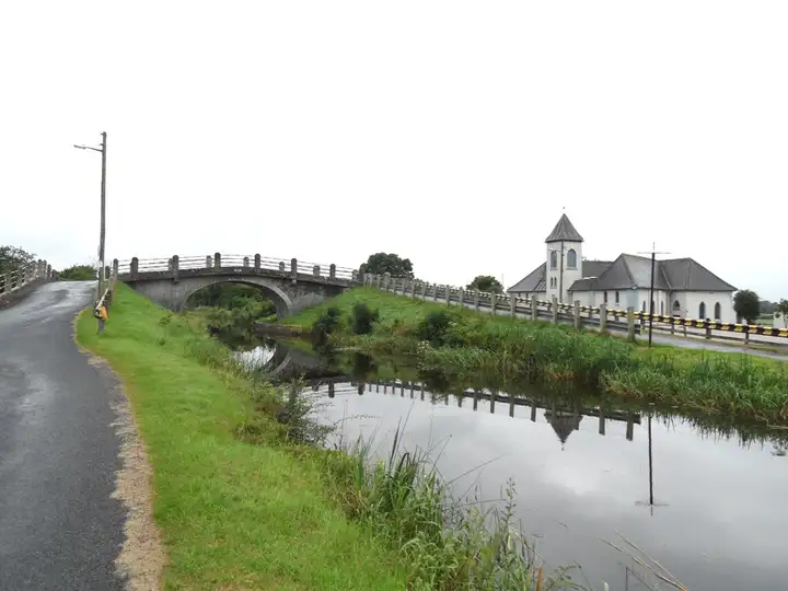
Other sources · Not known “Plunkett Bridge on the Grand Canal in Pollagh, Co. Offaly” by JP · Wikimedia Commons · CC BY-SA 2.0 · Changes: resized and re-encoded
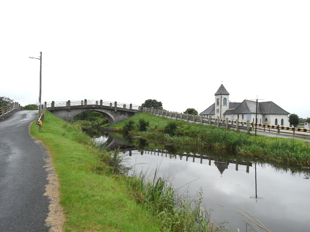

Also nearby, from OpenStreetMap (3)
Not checked by us. Tap a group to open it. © OpenStreetMap contributors
Food & drink (1)
Services (1)
Locks & bridges (1)
© OpenStreetMap contributors