

Banagher Bridge
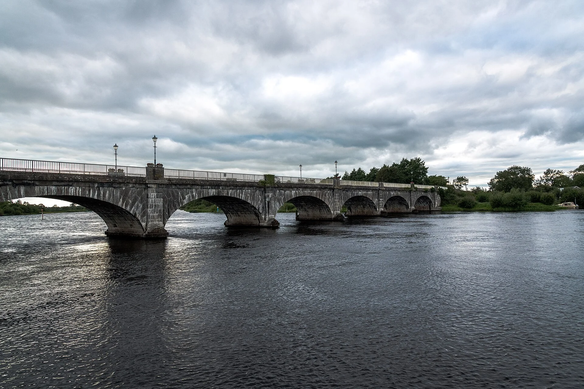
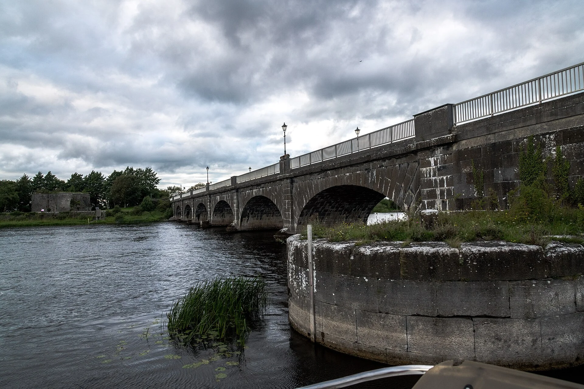
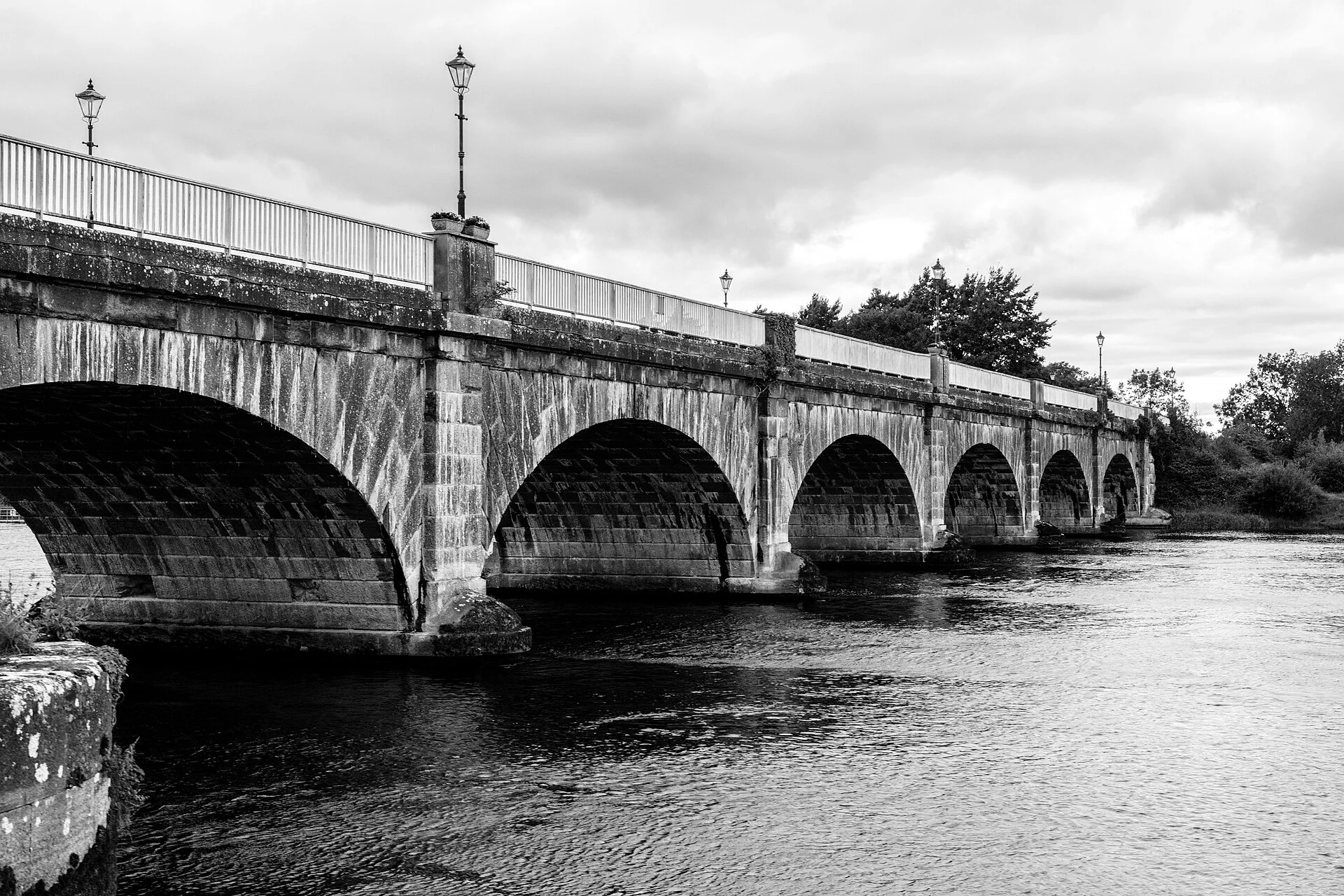
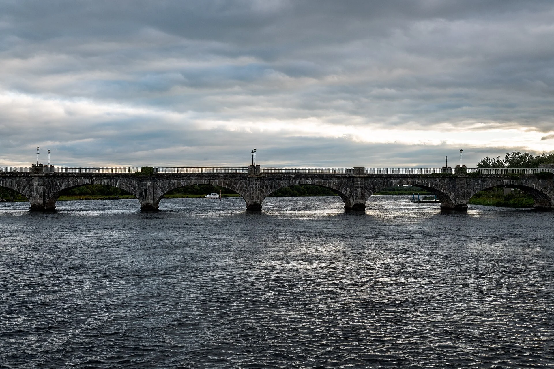
The stone road bridge built by the Shannon Commissioners in 1841–43 at Banagher; fixed since its swing span was removed in 1971.
- Clearance 5.93 m
Desk research, not yet checked on site · Position: © OpenStreetMap contributors · Report a change
Moor here
No mooring details yet.
Today
- Loading today’s conditions…
Forecast, warnings and water levels
Weather and water
Loading the latest conditions…
About Banagher Bridge
Banagher Bridge carries the road from Offaly into County Galway right beside the marina. The present bridge was built by the Shannon Commissioners in 1841–43 to plans by Thomas Rhodes, and an Offaly heritage review rates it of national importance, with the longest masonry arches of any bridge in the county. It once had a swing span for masted boats, but that was removed when the two county councils widened the bridge in 1971, so it no longer opens. Its predecessor of 1685, which Sarsfield’s army used during the Williamite war, was blown up in 1843; one abutment still stands by Cromwell’s Castle on the Galway side. Waterways Ireland gives a clearance of 5.93 m at ordinary summer level (March 2025 figures, published by IWAI); there is less headroom when the river is high, so check the gauge.
Not listed yet: eat & drink, things to do and services. Know one? Tell us
Neighbours by water
- Banagher
- 36th Lock, Shannon Harbour Next opening Sat, 31 Oct at 07:28 Grand Canal
- Shannonside Marina
Show 3 more
- Shannon Harbour Grand Canal
- Meelick
- Victoria Lock Next opening Sat, 31 Oct at 09:30
≈ distances are computed along the water, not along the marked channel. Times are our estimate: 7.5 km/h and 15 minutes a lock. Check the Waterways Ireland marine notices
Photos 4 photos
No photos match these filters yet.
-
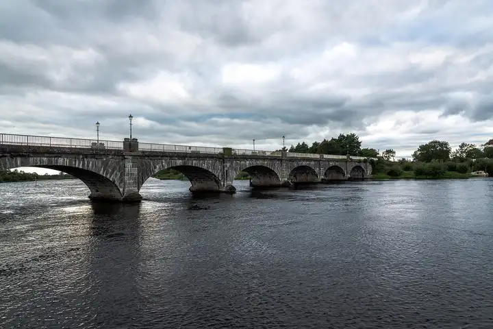
Other sources · Not known “Banagher Bridge from the river” by Jonjobaker · Wikimedia Commons · CC BY-SA 4.0 · Changes: resized and re-encoded -
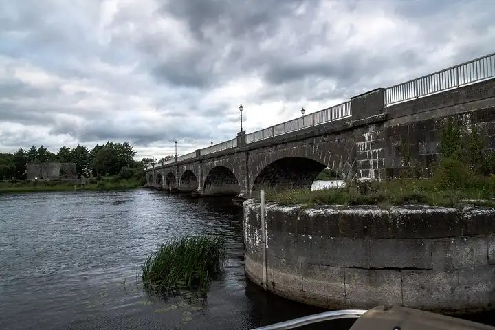
Other sources · Not known “Banagher Bridge and stone pier” by Jonjobaker · Wikimedia Commons · CC BY-SA 4.0 · Changes: resized and re-encoded -
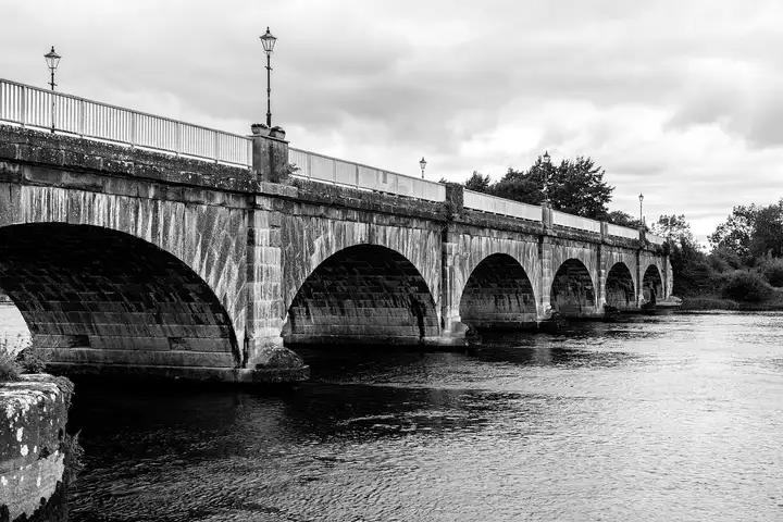
Other sources · Not known “Arches of Banagher Bridge” by Jonjobaker · Wikimedia Commons · CC BY-SA 4.0 · Changes: resized and re-encoded -
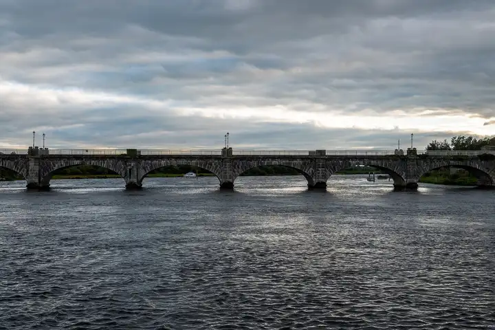
Other sources · Not known “Banagher Bridge on an overcast evening” by Jonjobaker · Wikimedia Commons · CC BY-SA 4.0 · Changes: resized and re-encoded


Also nearby, from OpenStreetMap (12)
Not checked by us. Tap a group to open it. © OpenStreetMap contributors
Food & drink (1)
Things to do (5)
Services (4)
Harbours & marinas from OpenStreetMap — access not checked (2)
© OpenStreetMap contributors