
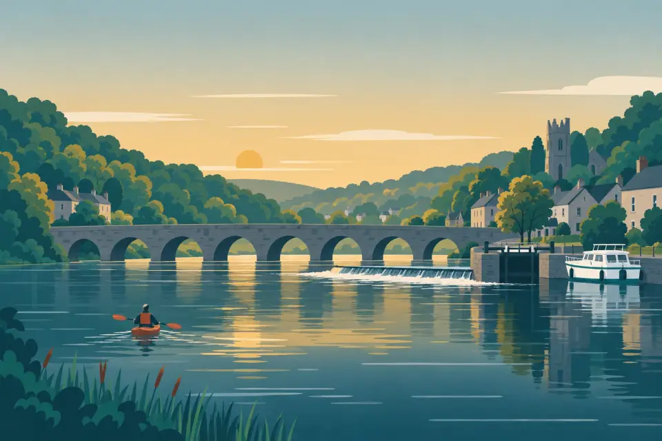
Clogrennan Lock
A quiet lock at the end of a long side channel below Carlow, with a public slipway and the ruins of a fifteenth-century castle close by.
- Next opening Sat, 31 Oct at 07:23
Desk research, not yet checked on site · Position: © OpenStreetMap contributors · Report a change
Lock times
Next opening Sat, 31 Oct at 07:23 Self-operated with a lock key
| Today | 07:21–17:01 |
|---|---|
| Sat, 31 Oct | 07:23–16:59 |
| Sun, 1 Nov | 07:24–16:57 |
| Mon, 2 Nov | 07:26–16:55 |
| Tue, 3 Nov | 07:28–16:53 |
| Wed, 4 Nov | 07:30–16:51 |
| Thu, 5 Nov | 07:32–16:49 |
Notice: Hand-worked with your own Waterways Ireland lock key in daylight hours; no fixed opening times. Water patroller for Bestfield to Bagenalstown: +353 87 951 1444.
Times are worked out on this device and change with the season: check the notice. Check the Waterways Ireland marine notices
Source of the times · Times checked 23 Oct 2026
Moor here
No mooring details yet.
Today
- Loading today’s conditions…
Forecast, warnings and water levels
Weather and water
Loading the latest conditions…
About Clogrennan Lock
Leaving Carlow, the river runs out into open farmland, and below Clogrennan Weir the navigation takes a long side channel down to Clogrennan Lock. The towpath passes right through the yard of the lock house, and a little further on are the ruins of Clogrennan Castle, from the fifteenth century, with the nineteenth-century Cloydagh church beyond. Waterways Ireland lists a public slipway at Clogrennan, a useful alternative for trailer boats to launching in town. The lock is worked with your own lock key, and lifejackets must be worn while you work it; the patroller for the locks from Bestfield to Bagenalstown is on +353 87 951 1444. Milford, with its mills and little hydro station, is about 4 km downstream.
Things to do
- Heritage
Clogrennan Castle
Ruins of a fifteenth-century castle beside the towpath below the lock; seen from the path, access not confirmed.
Services
- Slipway
Not listed yet: eat & drink. Know one? Tell us
Neighbours by water
- Graiguecullen Bridge
- Carlow
- Milford Lock Next opening Sat, 31 Oct at 07:22
Show 3 more
- Leighlinbridge
- Maganey Lock Next opening Sat, 31 Oct at 07:23
- Bagenalstown
≈ distances are computed along the water, not along the marked channel. Times are our estimate: 7.5 km/h and 15 minutes a lock. Check the Waterways Ireland marine notices
Photos
No photos match these filters yet.
Also nearby, from OpenStreetMap (8)
Not checked by us. Tap a group to open it. © OpenStreetMap contributors
Things to do (2)
Services (1)
Harbours & marinas from OpenStreetMap — access not checked (2)
Locks & bridges (3)
© OpenStreetMap contributors