
Ballyteague Locks
A pair of hand-worked locks near the top of the Barrow Line, just south of Lowtown, which since summer 2026 open only with a Waterways Ireland patroller.
By arrangement
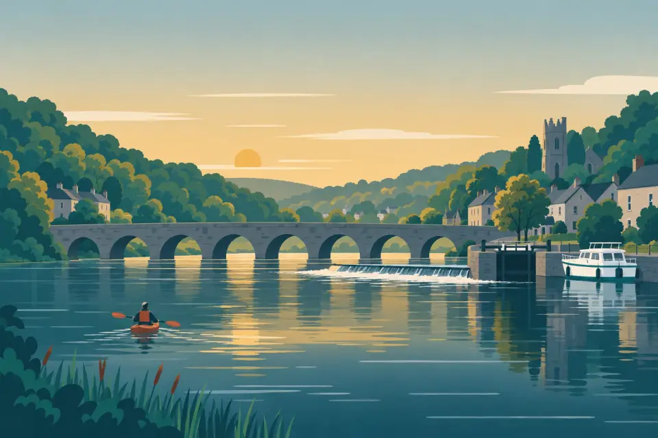
Canals & the Barrow River Ireland
One of Ireland’s prettiest navigations: 111 km and 33 hand-worked locks from the Grand Canal at Lowtown along the Barrow Line to Athy, then down the wooded River Barrow past Carlow and Graiguenamanagh to the tidal lock at St Mullins.
Days and hours are our estimate: 7.5 km/h and 15 minutes a lock, about six hours a day.
Start from a ready-made trip, or plan your own day by day: distances, locks and overnight moorings.
The Barrow is two waterways in one. From Lowtown on the Grand Canal, the Barrow Line runs 46 km south through ten locks to Athy, a quiet canal across bog and farmland that passes Rathangan, the hire base at Vicarstown and Monasterevin, where an aqueduct carries the canal over the river beside a lifting road bridge. At Athy the canal drops into the river and the mood changes. For 65 km to St Mullins the Barrow is a canalised river with 23 locks, most of them in short side cuts beside weirs, and below Bagenalstown its valley deepens and fills with woods, with Mount Leinster and Brandon Hill rising alongside. The towns are small and close together: Carlow, Leighlinbridge with its medieval bridge, Bagenalstown, Goresbridge, Borris and Graiguenamanagh with its great Cistercian abbey. The old towpath, now the Barrow Way, follows you all the way. Bring a patient crew: every lock is worked by hand, the river can run shallow in summer and services are few. Below St Mullins the river is tidal to New Ross and the sea.
20 stops from Ballyteague Locks to St Mullins.
Desk research, not yet checked on site
A pair of hand-worked locks near the top of the Barrow Line, just south of Lowtown, which since summer 2026 open only with a Waterways Ireland patroller.

A friendly canal town on the Slate River at the edge of the Bog of Allen, with pubs, cafés and shops a short walk from the Barrow Line.
Photo: Alex Passmore · CC BY-SA 2.0

The “Venice of Ireland”, where the Barrow Line crosses the River Barrow on an aqueduct beside a lifting road bridge, with a canal harbour close to the town centre.
Photo: Wanfried-Dublin · CC BY-SA 4.0

The only lifting bridge that carries a main road over the Grand Canal, right beside the Barrow aqueduct; boats need Waterways Ireland staff to raise it.
Photo: Colin Park · CC BY-SA 2.0

A tiny canal village in County Laois and home of the Barrowline Cruisers hire base, with a pub a few steps from the water.
Photo: Sarah777 · CC BY-SA 2.0

A busy market town where the Barrow Line meets the River Barrow, with river trips from the town quay and the new Shackleton Experience museum.
Photo: A.-K. D. · CC BY-SA 4.0

The first lock on the river navigation below Athy, in a side cut beside the site of a great flour mill, with a little lifting bridge just upstream.
Photo: A.-K. D. · CC BY-SA 4.0

A lock at the end of a long, green side cut, overlooked by the burnt-out shell of a great malt mill, with a lifting bridge and the Barrow’s key water-level gauge.
Photo: Bernadette Gibbs · CC BY-SA 3.0
A lock below the long road bridge at Maganey, scene of a 1642 battle, with a shop and fuel station near the bridge for restocking.

The Barrow’s biggest town: a Norman castle above the river, museums, shops and restaurants close to the water, and the lowest bridge on the navigation.
Photo: Colin Park · CC BY-SA 2.0

Carlow’s old stone bridge and the lowest on the Barrow Navigation: Waterways Ireland gives 2.58 m of headroom over a width of 2.4 m.
Photo: Colin Park · CC BY-SA 2.0
A quiet lock at the end of a long side channel below Carlow, with a public slipway and the ruins of a fifteenth-century castle close by.

A lovely spot where the river splits around wooded islands beside Milford Mills, which lit Carlow’s streets with water power in 1891.
Photo: A.-K. D. · CC BY-SA 4.0

A pretty village gathered around one of Europe’s oldest working bridges, with the Black Castle above the moorings and a long-established riverside inn.
Photo: A.-K. D. · CC BY-SA 4.0

A former mill town with one of Ireland’s finest railway stations, a lock in the middle of town and a heated outdoor pool beside the river.

A small Kilkenny village by a nine-arch granite bridge of 1756, with a riverside café and waterways museum in an old canal store.

A handsome granite estate village on the hill above Borris Lock, with a sixteen-arch railway viaduct, a boutique hotel and the ancestral home of the MacMurrough Kavanaghs.
Photo: Artur Kozioł · CC BY-SA 3.0

A lock in a wooded gorge beside curving weirs, loved by white-water paddlers and summer swimmers, with lifeguards at the swimming area in season.
Photo: A.-K. D. · CC BY-SA 4.0

The jewel of the lower Barrow: a riverside town of stone quays and an old many-arched bridge beneath Brandon Hill, around the great Cistercian church of Duiske Abbey.
Photo: Smirkybec · CC BY-SA 4.0

The end of the inland navigation: a tidal quay below the last lock, a café in the old grain store and one of Ireland’s great early Christian monastic sites.
Photo: Dowlinme · CC BY-SA 4.0
Also on this waterway: Lowtown (Grand Canal)
Mooring limits, locks, speed and hazards, in our own words with links to the sources.
Every boat needs a Waterways Ireland canal permit, displayed on the outside of the boat. The Combined Mooring and Passage permit (€126, valid 1 November to 31 October) covers the locks and lets you stay up to five days at one public mooring; a free visitor permit gives up to 31 days once a calendar year (permits). Hire boats come with theirs.
All 33 locks, 10 on the Barrow Line and 23 on the river, are worked by your crew with a lock key during daylight hours; chambers are 18.5 m long and 3.9 m wide, and no Smart Card is needed. Since April 2026 everyone handling the boat in or beside a lock must wear a lifejacket or buoyancy aid. Since July 2026 Locks 20 and 21 at Ballyteague and Lock 23 at Rathangan open only with a Waterways Ireland patroller (Marine Notice 88, a dry-weather measure): phone ahead and check it still applies. Patroller numbers for each group of locks are on the boater information page.
In summer the depth can fall to 0.76 m, and silt restricts deeper boats (Marine Notice 46 of 2026). The lowest bridge, at Carlow, leaves 2.58 m over a width of 2.4 m.
6 knots on the river and 3.2 knots in canal sections; slow down near bridges, jetties, locks and moored boats.
Most river locks lie in side cuts beside weirs: keep to the lock cut, above all when the river is up after rain. Below St Mullins the river is tidal; ask the Port of New Ross harbour master (+353 51 421303) before going on. There is no winter mooring, and from 1 November to 17 March check with Waterways Ireland that the navigation is open. Read the marine notices before you go.
This is a travel guide, not a navigation aid.
Loading the latest conditions…
33 locks on this waterway. The times below are worked out on this device. They change with the season: always read the notice.
All lock and bridge times Check the Waterways Ireland marine notices
Hire companies with a base on this waterway.
Ready-made trips that start here or pass through.
No events listed for this waterway yet.
Current Waterways Ireland marine notices for this waterway. The one-line summaries are ours: read the notice itself.
Source: Waterways Ireland · All marine notices on Waterways Ireland
Our marketplace buz.ie
On buz.ie by county: Co. Kildare (opens buz.ie in a new tab) Co. Carlow (opens buz.ie in a new tab) Co. Laois (opens buz.ie in a new tab) Co. Kilkenny (opens buz.ie in a new tab)
Places on the map that are not near one of our stops. Listed on OpenStreetMap, not checked by us. © OpenStreetMap contributors
Opening hours: Mon–Fri Closed · Sat–Sun 10:30–16:00
