

Lowtown
Also part of: River Barrow & Barrow Line
The junction where the Barrow Line leaves the main line at Lock 19, with long serviced visitor jetties, a service block and a private marina basin.
- Public
- Private · not yet checked
- Shore power
- Water
- Pump-out
- Not yet checked: berths, fuel and price
Desk research, not yet checked on site · Position: © OpenStreetMap contributors · Report a change
Moor here 2
Lowtown visitor jetties
PublicPublic jetty · open to all boats
Current availability unknown
Report space · Seven-day history- Shore power
- Yes
- Drinking water
- Yes
- Pump-out
- Yes
Not yet checked: operator, berths, boat length, fuel, price and contact
Not on the map: no checked position yet.
About this mooring
Max. stay: Up to 5 days at one public mooring with a Combined Mooring and Passage permit
Long timber visitor jetties by Lock 19: taps and lights throughout, shore power (Smart Card) on a few berths; some lengths are reserved for permit holders.
Report a problem here (power, water, weed, depth)
Anonymous. These reports go privately to our editors and are not shown on the card. To tell other boaters, sign in and use “Report now” or “Report a problem” above. Privacy
Lowtown Marina
Private · not yet checkedPrivate marina · visitor access not yet checked — ask locally before tying up
Current availability unknown
Report space · Seven-day history- Operator
- Private
Not yet checked: berths, boat length, shore power, water, pump-out, fuel, price and contact
Position: © OpenStreetMap contributors
About this mooring
Private marina basin; the old boatyard and chandlery have closed. Visitor access not confirmed: use the public jetties unless invited.
Run this marina? Tell us your visitor rules
Report a problem here (power, water, weed, depth)
Anonymous. These reports go privately to our editors and are not shown on the card. To tell other boaters, sign in and use “Report now” or “Report a problem” above. Privacy
Permit needed: up to 5 days at one public mooring
Every boat on the canals and the Barrow needs a Waterways Ireland permit on display. The yearly Combined Mooring and Passage permit allows up to 5 days at any one public mooring; visiting boats can get a free 31-day permit once a year. Permits from Waterways Ireland
Today
- Loading today’s conditions…
Forecast, warnings and water levels
Weather and water
Loading the latest conditions…
About Lowtown
Lowtown is where the summit level ends in the west and where the main line to the Shannon, the Barrow Line to Athy and the Milltown Feeder meet at Lock 19. The Grand Canal Company built transhipment sheds, stables and a boatyard here, and steel canal boats were still being built at Lowtown in the 1980s and 1990s. Waterways Ireland later rebuilt the moorings as about 350 m of timber jetties with water, lighting, some Smart Card shore power, a pay-as-you-go pump-out and a service block; part is kept for extended-mooring permits, the rest for visitors under the five-day rule. Lowtown also has the basin of the private Lowtown Marina; IWAI Kildare reports that the boatyard and chandlery there have closed, so do not tie up in it without asking. In dry weather Lock 19 may need a water patroller (+353 87 245 6531).
Things to do 2
- Cycling
Barrow Line and Barrow Blueway
The Barrow Blueway follows the Barrow Line south from here towards Athy, for walkers, cyclists and paddlers.
Website (opens another website) - Heritage
Lowtown canal yard
The Grand Canal Company’s old transhipment sheds, stables and workshops beside Lock 19, where one family kept the lock for five generations.
Services
- Shore power
On some berths only; paid with a Waterways Ireland Smart Card.
- Pump-out
Pay as you go.
- Showers
- Toilets
- Drinking water
Pump-outs, showers and shore power at Waterways Ireland harbours are paid with a Waterways Ireland Smart Card. About the Smart Card
Not listed yet: eat & drink. Know one? Tell us
Neighbours by water
- Robertstown
- Allenwood
- Ballyteague Locks By arrangement River Barrow & Barrow Line
≈ distances are computed along the water, not along the marked channel. Times are our estimate: 5 km/h and 20 minutes a lock. Check the Waterways Ireland marine notices
Photos 1 photo
No photos match these filters yet.
-
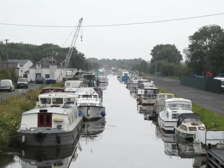
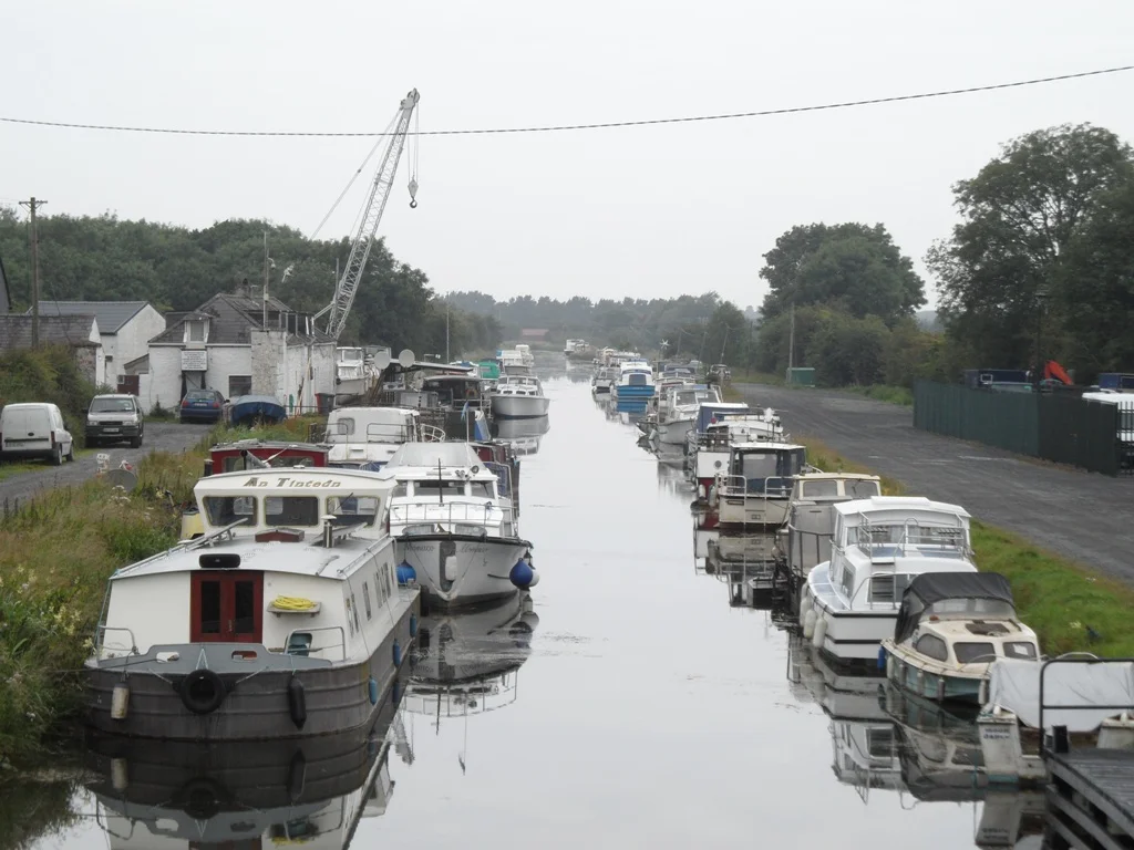
Other sources · Not known “Marina on the Grand Canal at Lowtown, Co. Kildare” by JP · Wikimedia Commons · CC BY-SA 2.0 · Changes: resized and re-encoded

Also nearby, from OpenStreetMap (5)
Not checked by us. Tap a group to open it. © OpenStreetMap contributors
Harbours & marinas from OpenStreetMap — access not checked (1)
Locks & bridges (4)
© OpenStreetMap contributors