

Rathangan
Irish name: Ráth Iomgháin
A friendly canal town on the Slate River at the edge of the Bog of Allen, with pubs, cafés and shops a short walk from the Barrow Line.
Desk research, not yet checked on site · Position: © OpenStreetMap contributors · Report a change
Moor here
No mooring details yet.
Today
- Loading today’s conditions…
Forecast, warnings and water levels
Weather and water
Loading the latest conditions…
About Rathangan
Rathangan takes its name from an early medieval ringfort, but its present layout dates from the arrival of the canal in the late 1700s, when houses were built for the canal engineers. The Barrow Line runs right past the centre, and the shops, cafés and several pubs are only a few minutes from the water; Waterways Ireland lists a public slipway in the town. Just beyond Rathangan the canal drops through the double Lock 23 beside Spencer’s Bridge, named after a yeoman killed in the 1798 rebellion and today a favourite fishing spot. Since July 2026 this lock may only be passed with a Waterways Ireland patroller (a dry-weather measure under Marine Notice 88), so call ahead. Tannery Park near the centre has a playground, Killinthomas Wood offers woodland walks, and the Barrow Way leads north towards Robertstown or south to Monasterevin, about 10 km away by water.
Eat & drink 2
Darchini Restaurant
Popular restaurant in Rathangan, recommended by Waterways Ireland for walkers and boaters.
Ma’s Kitchen
Café in the town centre named by Waterways Ireland among Rathangan’s eateries, a few minutes from the canal.
Things to do 2
- Playground
Tannery Park
Small park close to the town centre and the canal, with a children’s playground.
- Walk
Killinthomas Wood
Local woodland with walking trails, one of the nature spots Waterways Ireland suggests around Rathangan.
Services
- Slipway
Neighbours by water
- Ballyteague Locks By arrangement
- Monasterevin Lift Bridge
- Monasterevin
Show 3 more
- Lowtown Grand Canal
- Vicarstown
- Athy
≈ distances are computed along the water, not along the marked channel. Times are our estimate: 7.5 km/h and 15 minutes a lock. Check the Waterways Ireland marine notices
Photos 2 photos
No photos match these filters yet.
-
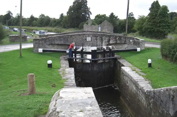
Other sources · Not known “Lock Gates at Spencer Bridge, Rathangan” by Alex Passmore · Wikimedia Commons · CC BY-SA 2.0 · Changes: resized and re-encoded -
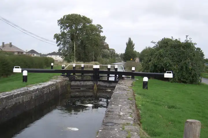
Other sources · Not known “Lock Gates at Spencer Bridge, Rathangan” by Alex Passmore · Wikimedia Commons · CC BY-SA 2.0 · Changes: resized and re-encoded
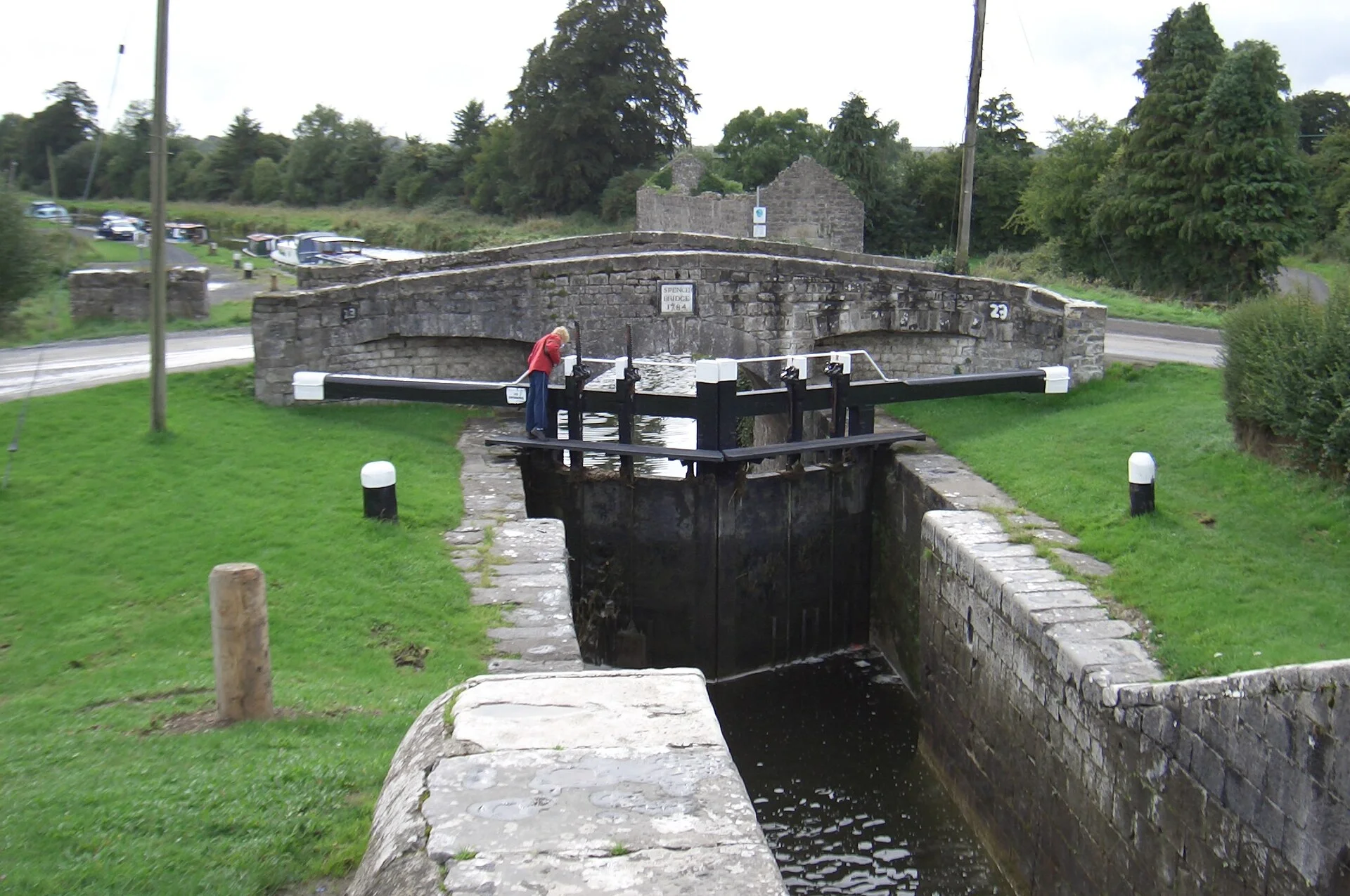
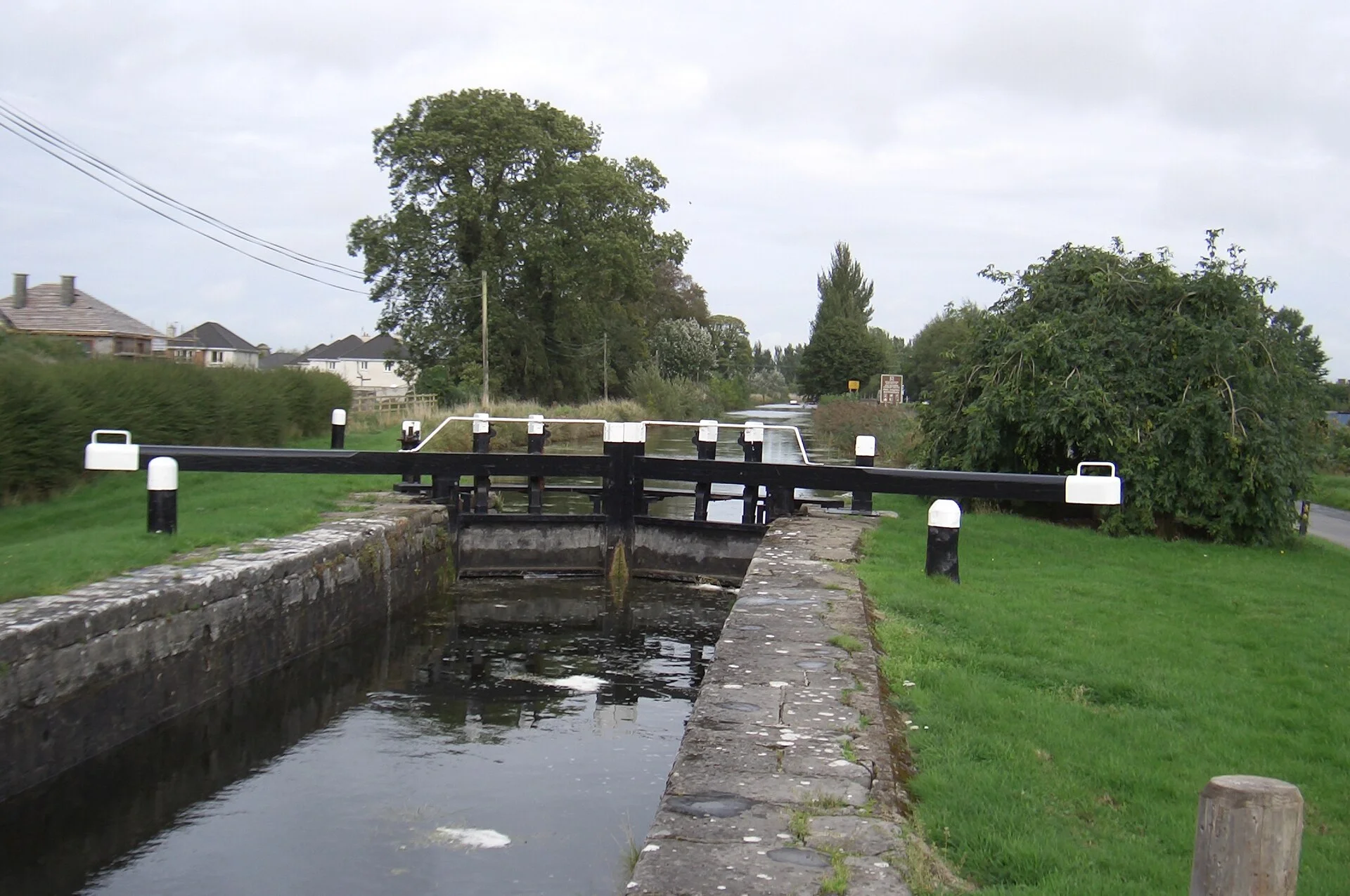


Also nearby, from OpenStreetMap (33)
Not checked by us. Tap a group to open it. © OpenStreetMap contributors
Food & drink (11)
Things to do (3)
Services (12)
Harbours & marinas from OpenStreetMap — access not checked (3)
Locks & bridges (4)
© OpenStreetMap contributors