

Monasterevin
Irish name: Mainistir Eimhín
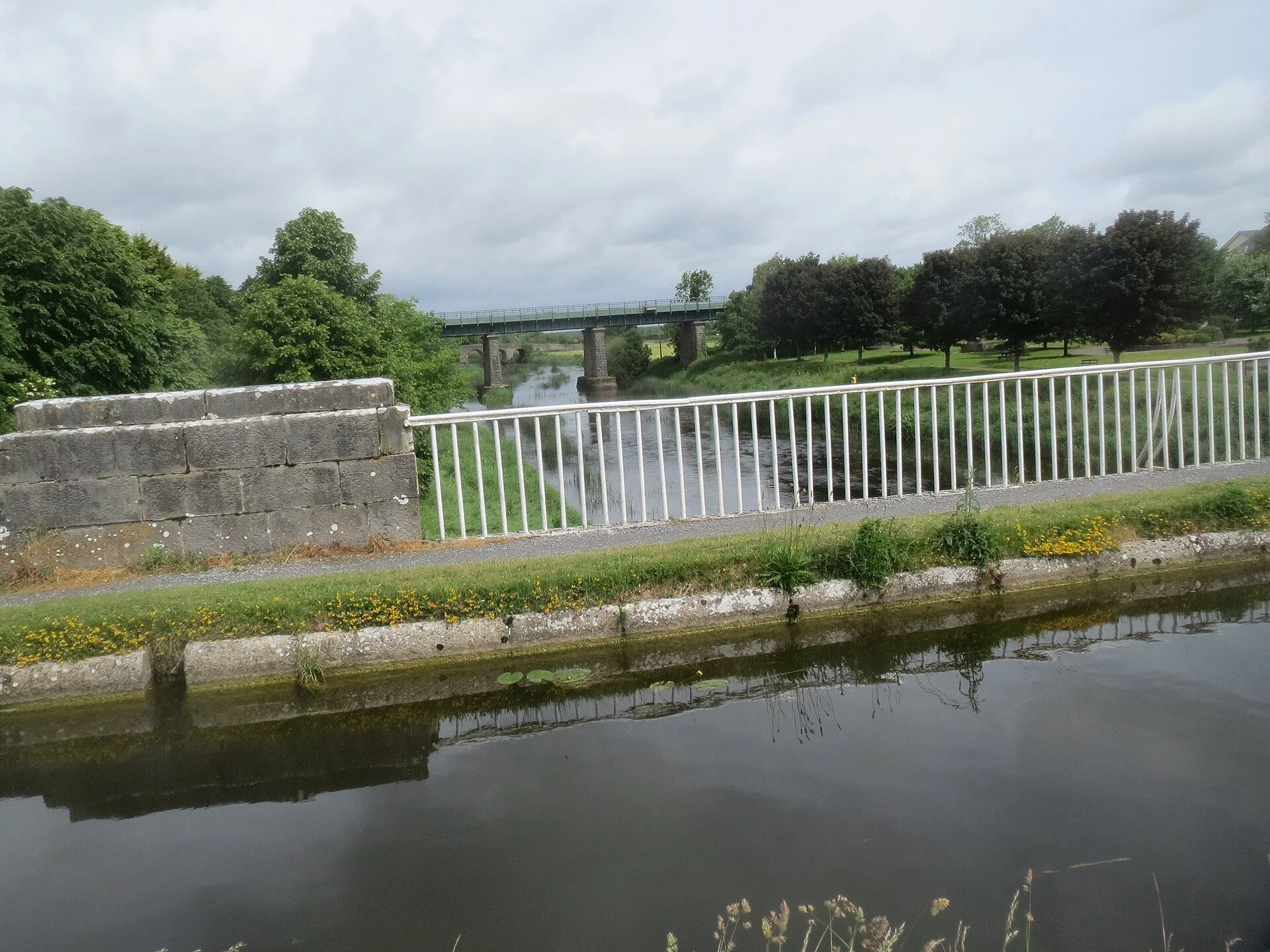
The “Venice of Ireland”, where the Barrow Line crosses the River Barrow on an aqueduct beside a lifting road bridge, with a canal harbour close to the town centre.
- Public
- Not yet checked: berths, shore power, water, pump-out, fuel and price
Desk research, not yet checked on site · Position: © OpenStreetMap contributors · Report a change
Moor here
Bell Harbour
PublicHarbour · open to all boats
Current availability unknown
Report space · Seven-day historyNot yet checked: operator, berths, boat length, shore power, water, pump-out, fuel, price and contact
Not on the map: no checked position yet.
About this mooring
Max. stay: Up to 5 days at one public mooring with a Combined Mooring and Passage permit
Canal harbour beside the lifting bridge, with quay walls rebuilt in 2023–24; berths and services not yet checked.
Report a problem here (power, water, weed, depth)
Anonymous. These reports go privately to our editors and are not shown on the card. To tell other boaters, sign in and use “Report now” or “Report a problem” above. Privacy
Permit needed: up to 5 days at one public mooring
Every boat on the canals and the Barrow needs a Waterways Ireland permit on display. The yearly Combined Mooring and Passage permit allows up to 5 days at any one public mooring; visiting boats can get a free 31-day permit once a year. Permits from Waterways Ireland
Today
- Loading today’s conditions…
Forecast, warnings and water levels
Weather and water
Loading the latest conditions…
About Monasterevin
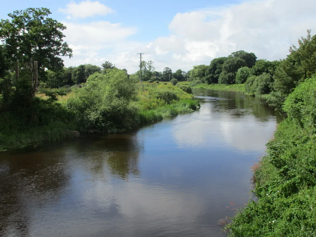
Monasterevin owes its nickname to its many bridges and channels. The canal arrived in 1786, and in 1826 an aqueduct was built to carry it over the River Barrow, right beside the lifting bridge on the R424. Boats tie up at Bell Harbour, a canal harbour whose quay walls Waterways Ireland rebuilt in 2023–24, a few minutes’ walk from the shops, cafés and pubs; Mooney’s is the pub by the river. Jennifer’s Travels hires out a small barge from the harbour, and the town has a kayaking club. Moore Abbey, a Gothic-style house where the tenor John McCormack lived from 1925 to 1937, stands on the river bank. South of the aqueduct the disused Mountmellick branch leaves to the west, and the 25th lock follows soon after. Anglers come for pike, perch, bream, roach and rudd, and the Barrow Way runs 12 km on to Vicarstown.
Eat & drink
Mooney’s
Pub by the river in Monasterevin, recommended by Waterways Ireland.
Things to do 5
- Heritage
Moore Abbey
Gothic-style house of the 1760s on the east bank, once seat of the Earls of Drogheda and home of tenor John McCormack; now run by a care foundation, public access not confirmed.
- Walk
Barrow Way: Monasterevin to Vicarstown
Easy 12 km towpath walk south past the old lifting bridge, the 25th lock and the Grattan Aqueduct, with a thatched pub near Fishertown Bridge on the way.
Website (opens another website) - Fishing
Coarse angling at Monasterevin
River and canal hold bream, roach, rudd, perch and pike; check local rules and licences before you fish.
-
Blueway Barges
Hire of the barge Maud Gonne in Monasterevin, for up to four people on short or longer breaks; no website or phone found yet.
-
Jennifer’s Travels
Family-run hire of a steel canal barge for up to four people from Bell Harbour, mostly short breaks; bikes for hire too.
+353 86 342 5546
Services
- Slipway
Neighbours by water
Show 3 more
- Ballyteague Locks By arrangement
- Lowtown Grand Canal
- Athy
≈ distances are computed along the water, not along the marked channel. Times are our estimate: 7.5 km/h and 15 minutes a lock. Check the Waterways Ireland marine notices
Photos 3 photos
No photos match these filters yet.
-
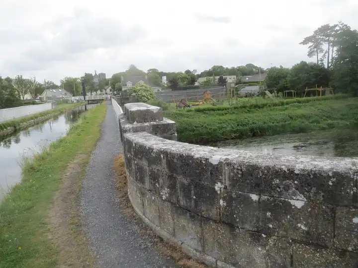
Other sources · Not known “Barrow Aqueduct, Monasterevin” by Wanfried-Dublin · Wikimedia Commons · CC BY-SA 4.0 · Changes: resized and re-encoded -
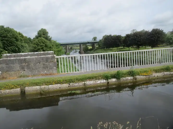
Other sources · Not known “River Barrow from the aqueduct, Monasterevin” by Wanfried-Dublin · Wikimedia Commons · CC BY-SA 4.0 · Changes: resized and re-encoded -
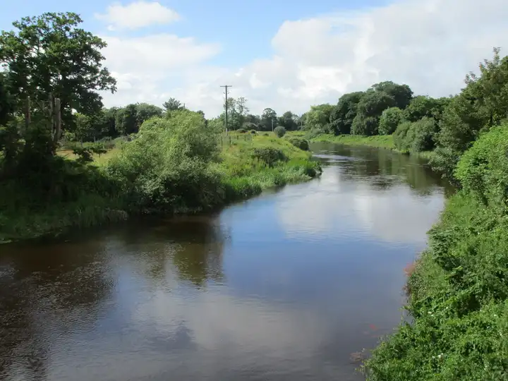
Other sources · Not known “The River Barrow” by Jonathan Thacker · Wikimedia Commons · CC BY-SA 2.0 · Changes: resized and re-encoded
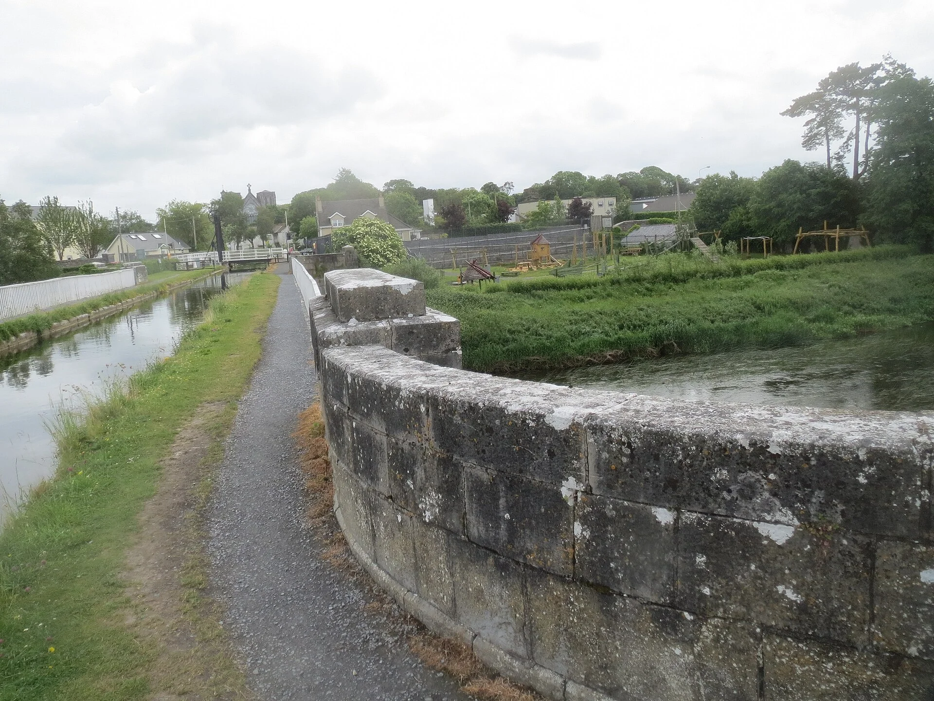


Also nearby, from OpenStreetMap (23)
Not checked by us. Tap a group to open it. © OpenStreetMap contributors
Food & drink (10)
Services (7)
Locks & bridges (6)
© OpenStreetMap contributors