

St Mullins
Irish name: Tigh Moling
The end of the inland navigation: a tidal quay below the last lock, a café in the old grain store and one of Ireland’s great early Christian monastic sites.
- Public
- Not yet checked: berths, shore power, water, pump-out, fuel and price
Desk research, not yet checked on site · Position: © OpenStreetMap contributors · Report a change
Moor here
St Mullins quay
PublicQuay wall · open to all boats
Current availability unknown
Report space · Seven-day historyNot yet checked: operator, berths, boat length, shore power, water, pump-out, fuel, price and contact
Position: © OpenStreetMap contributors
About this mooring
Max. stay: Tidal water under the Port of New Ross: ask the harbour master about mooring (+353 51 421303)
Tidal quay wall beside the old grain store and café; allow for the tide and check with the Port of New Ross.
Report a problem here (power, water, weed, depth)
Anonymous. These reports go privately to our editors and are not shown on the card. To tell other boaters, sign in and use “Report now” or “Report a problem” above. Privacy
Permit needed: up to 5 days at one public mooring
Every boat on the canals and the Barrow needs a Waterways Ireland permit on display. The yearly Combined Mooring and Passage permit allows up to 5 days at any one public mooring; visiting boats can get a free 31-day permit once a year. Permits from Waterways Ireland
From here
1 itinerary
- Itineraries that stop here
- In the guide
Today
- Loading today’s conditions…
Forecast, warnings and water levels
Weather and water
Loading the latest conditions…
About St Mullins
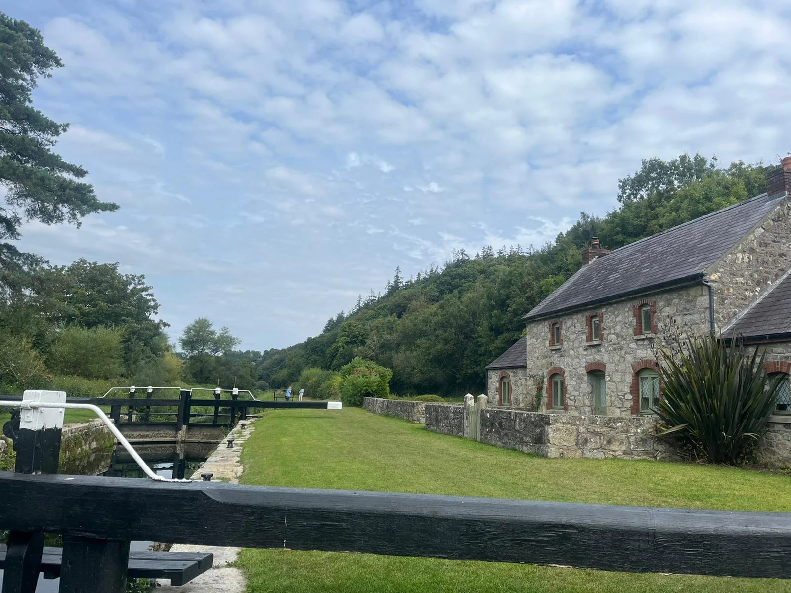
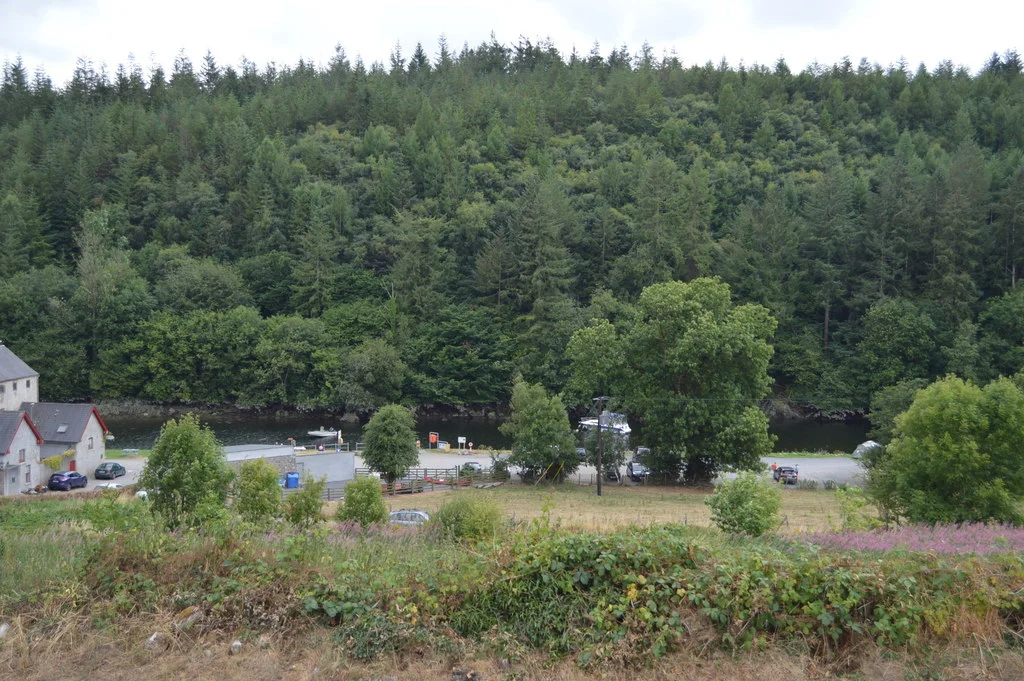
St Mullins Lock is the last on the Barrow; below it the river is tidal, and the village quay lies about a kilometre downstream, where cruisers tie up beside the old grain store built to hold cargo brought up from New Ross. Allow for the rise and fall of the tide when you moor, and speak to the Port of New Ross harbour master before heading on towards the sea. Above the quay, St Moling founded a monastery in the seventh century; its graveyard holds the ruins of several churches, the stump of a round tower and a carved high cross, close to a Norman motte and bailey and St Moling’s Well. The Mullicháin Café serves coffee, cakes and light meals in the grain store from spring to autumn and hires out bikes, and Blanchfield’s pub is in the village. The Barrow Way starts here for walkers heading north.
Eat & drink 2
Blanchfield’s
Village pub a short walk up from the quay, serving drinks and hot food.
Mullicháin Café
Café on two floors of the restored canal grain store on the quay, with home baking, light meals, wine and craft beer and bike hire; seasonal.
+353 51 424 440 themullichaincafe.ie (opens another website)Things to do 2
- Heritage
St Mullins monastic site
Seventh-century monastery of St Moling with ruined churches, the base of a round tower, a carved high cross and the Kavanagh mausoleum, still a place of pilgrimage.
Website (opens another website) - Walk
Barrow Way: St Mullins to Graiguenamanagh
Flat and easy towpath walk upstream through woodland to Graiguenamanagh, the first leg of the Barrow Way.
Website (opens another website)
Not listed yet: services. Know one? Tell us
Neighbours by water
- Graiguenamanagh
- Clashganny Lock Next opening Sat, 31 Oct at 07:22
- Borris
Show 3 more
≈ distances are computed along the water, not along the marked channel. Times are our estimate: 7.5 km/h and 15 minutes a lock. Check the Waterways Ireland marine notices
Photos 2 photos
No photos match these filters yet.
-
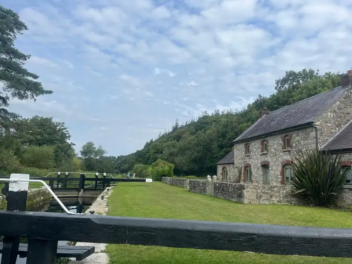
Other sources · Not known “St Mullins Lock” by Dowlinme · Wikimedia Commons · CC BY-SA 4.0 · Changes: resized and re-encoded -
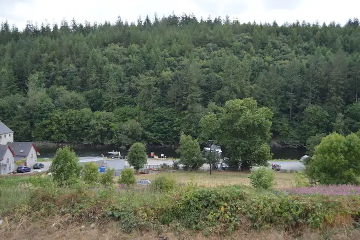
Other sources · Not known “River Barrow” by N Chadwick · Wikimedia Commons · CC BY-SA 2.0 · Changes: resized and re-encoded


Also nearby, from OpenStreetMap (13)
Not checked by us. Tap a group to open it. © OpenStreetMap contributors
Things to do (4)
Services (5)
Locks & bridges (4)
© OpenStreetMap contributors