

Graiguenamanagh
Irish name: Gráig na Manach
The jewel of the lower Barrow: a riverside town of stone quays and an old many-arched bridge beneath Brandon Hill, around the great Cistercian church of Duiske Abbey.
- Public
- Not yet checked: berths, shore power, water, pump-out, fuel and price
Desk research, not yet checked on site · Position: © OpenStreetMap contributors · Report a change
Moor here
Graiguenamanagh Harbour
PublicQuay wall · open to all boats
Current availability unknown
Report space · Seven-day historyNot yet checked: operator, berths, boat length, shore power, water, pump-out, fuel, price and contact
About this mooring
Max. stay: Up to 5 days at one public mooring with a Combined Mooring and Passage permit
Public harbour quays by the bridge in the town centre; length and services not yet checked.
Report a problem here (power, water, weed, depth)
Anonymous. These reports go privately to our editors and are not shown on the card. To tell other boaters, sign in and use “Report now” or “Report a problem” above. Privacy
Permit needed: up to 5 days at one public mooring
Every boat on the canals and the Barrow needs a Waterways Ireland permit on display. The yearly Combined Mooring and Passage permit allows up to 5 days at any one public mooring; visiting boats can get a free 31-day permit once a year. Permits from Waterways Ireland
Today
- Loading today’s conditions…
Forecast, warnings and water levels
Weather and water
Loading the latest conditions…
About Graiguenamanagh
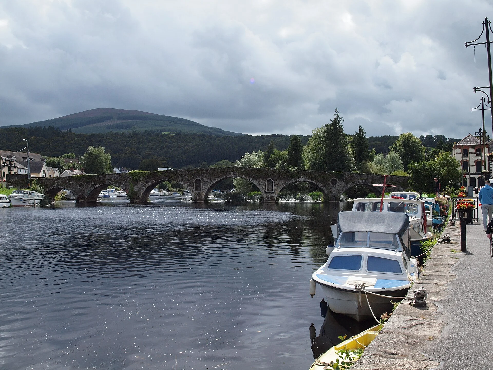
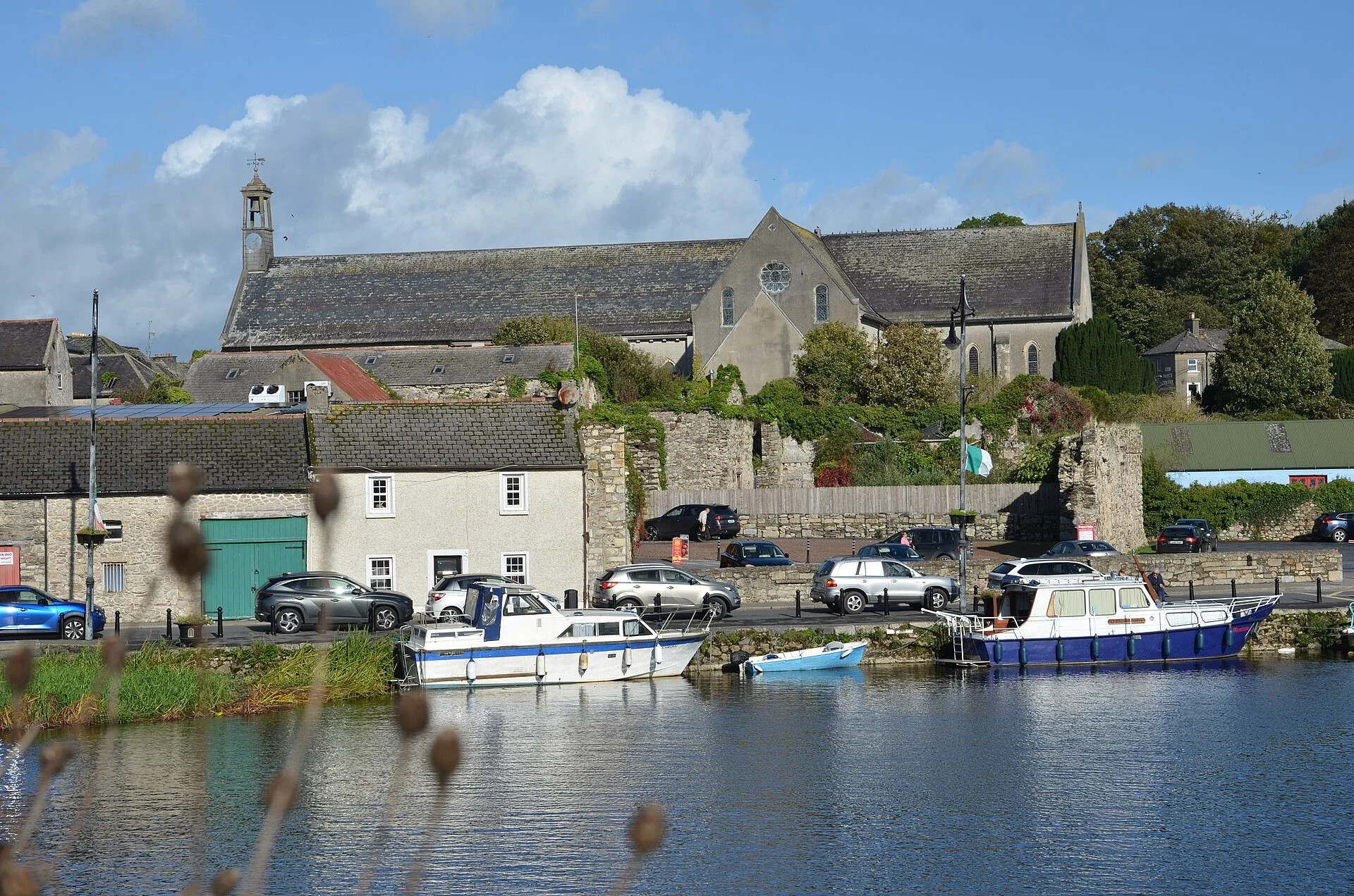
Graiguenamanagh, “the village of the monks”, grew up around Duiske Abbey, founded by William Marshal in 1204 and the largest of Ireland’s medieval Cistercian houses; restored in the 1980s, its church is once again the parish church. The town faces Tinnahinch, its Co. Carlow twin, across an eighteenth-century bridge of seven arches, and both banks are lined with stone quays from the days when commercial barges worked from here, until 1959. Waterways Ireland invites boaters to moor at the harbour, and there is a public slipway. Ashore you will find pubs such as Mick Doyle’s, the Waterside restaurant and guesthouse in a converted granite corn store, canoe and kayak trips, a campsite and a sauna by the river. Brandon Hill rises behind the town for a stiff climb, and each August the Town of Books festival fills the streets with second-hand books.
Eat & drink 2
Mick Doyle’s
Traditional Irish pub in the town, a friendly stop after a day on the river.
Waterside Guesthouse & Restaurant
Restaurant and guesthouse in a converted granite corn store on the quay, every room overlooking the river; bikes for hire.
+353 59 972 4246 watersideguesthouse.com (opens another website)Things to do 5
- Heritage
Duiske Abbey
Ireland’s largest medieval Cistercian abbey church, founded 1204 and restored in the 1980s, with a knight’s effigy, medieval floor tiles and early crosses in the churchyard.
Website (opens another website) - Walk
Brandon Hill
The hill that towers over the town, climbed by the Brandon Hill walk and the South Leinster Way, with wide views over the Barrow valley.
- Festival
Town of Books Festival
Three-day book festival every August, when the town fills with second-hand book stalls, readings and events.
Website (opens another website) -
Pure Adventure
Riverside outdoor centre offering guided canoe, kayak and paddleboard trips, including three-hour tours through the old locks, and Canoeing Ireland courses.
+353 87 226 5550 pureadventure.ie (opens another website) -
The Hot Box Sauna
Sauna in an old stone cottage on the Tinnahinch quay by the river, with a riverside plunge pool; book ahead.
+353 87 474 3143 thehotboxsauna.ie (opens another website)
Services
- Slipway
Neighbours by water
- Clashganny Lock Next opening Sat, 31 Oct at 07:22
- St Mullins
- Borris
Show 3 more
≈ distances are computed along the water, not along the marked channel. Times are our estimate: 7.5 km/h and 15 minutes a lock. Check the Waterways Ireland marine notices
Photos 2 photos
No photos match these filters yet.
-
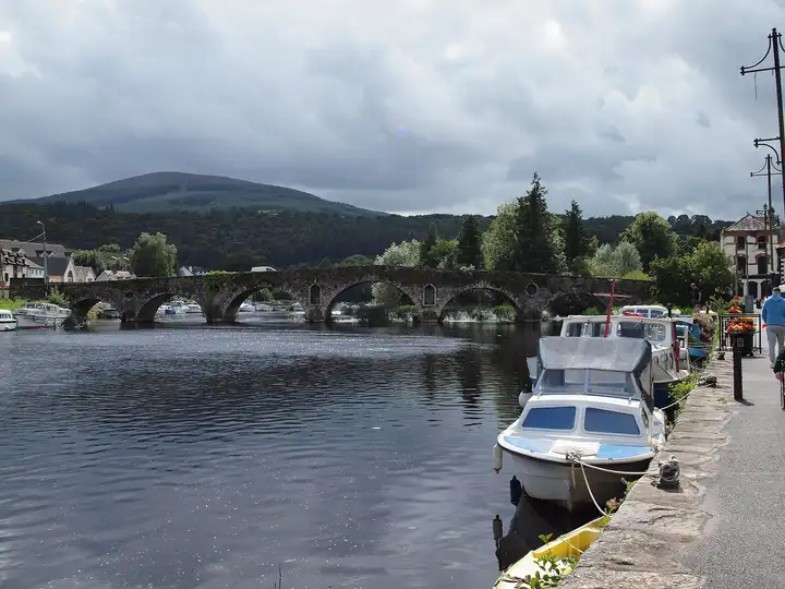
Other sources · Not known “Graiguenamanagh Bridge” by Smirkybec · Wikimedia Commons · CC BY-SA 4.0 · Changes: resized and re-encoded -
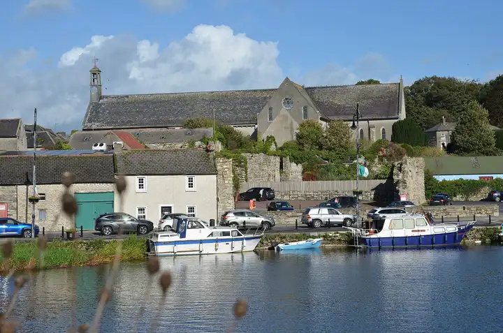
Other sources · Not known “Graiguenamanagh Quay with Duiske Abbey” by A.-K. D. · Wikimedia Commons · CC BY-SA 4.0 · Changes: resized and re-encoded


Also nearby, from OpenStreetMap (108)
Not checked by us. Tap a group to open it. © OpenStreetMap contributors
Food & drink (17)
Things to do (10)
Services (27)
Harbours & marinas from OpenStreetMap — access not checked (43)
Locks & bridges (11)
© OpenStreetMap contributors