

Knockvicar
Irish name: Cnoc an Bhiocáire
A small village where the Boyle River leaves Lough Key, with public moorings at the bridge, a towpath to Clarendon Lock and a large private marina just downstream.
- Public
- Private · not yet checked
- 105 berths
- Not yet checked: shore power, water, pump-out, fuel and price
Desk research, not yet checked on site · Position: © OpenStreetMap contributors · Report a change
Moor here 2
Knockvicar Bridge public moorings
PublicPublic jetty · open to all boats
Current availability unknown
Report space · Seven-day history- Berths
- 5
Not yet checked: operator, boat length, shore power, water, pump-out, fuel, price and contact
Not on the map: no checked position yet.
About this mooring
Max. stay: Up to 5 days in a row or 7 days in a month, all year unless you have a winter mooring
Public mooring for about five boats at Knockvicar Bridge, a short walk from Clarendon Lock.
Report a problem here (power, water, weed, depth)
Anonymous. These reports go privately to our editors and are not shown on the card. To tell other boaters, sign in and use “Report now” or “Report a problem” above. Privacy
Tara Marina
Private · not yet checkedPrivate marina · visitor access not yet checked — ask locally before tying up
Current availability unknown
Report space · Seven-day history- Operator
- Private
- Berths
- 100
Not yet checked: boat length, shore power, water, pump-out, fuel, price and contact
Position: © OpenStreetMap contributors
About this mooring
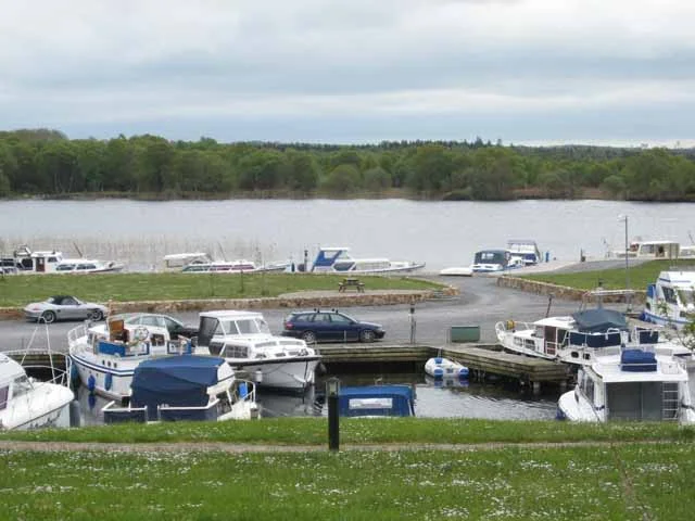
Private marina of about 100 berths beside a gated housing development just downstream of Knockvicar Bridge; whether visiting boats may stay is not known.
Run this marina? Tell us your visitor rules
Report a problem here (power, water, weed, depth)
Anonymous. These reports go privately to our editors and are not shown on the card. To tell other boaters, sign in and use “Report now” or “Report a problem” above. Privacy
Mooring limit: 5 days in a row, 7 days a month
Public moorings on the Shannon Navigation and the Shannon–Erne Waterway: at the same public harbour for at most 5 days in a row, or 7 days in total in any month, all year round. A longer stay in winter (1 November to 31 March) needs a winter mooring from Waterways Ireland. Boater information from Waterways Ireland
Today
- Loading today’s conditions…
Forecast, warnings and water levels
Weather and water
Loading the latest conditions…
About Knockvicar
Knockvicar is the last stop on the Boyle River before Lough Key. Roscommon County Council lists a public mooring for about five boats and a public slipway at Knockvicar Bridge, and from the bridge a short towpath runs some 300 m upstream to Clarendon Lock and its weir, a pleasant stroll while you wait for the lock. Just downstream of the bridge, Tara Marina is a private marina of around 100 berths beside a gated group of houses. Above the lock, on the Lough Key shore, The Moorings bar and restaurant reopened under new management in late 2024; check that it is open before you plan a meal there. Knockvicar Alpacas, a farm nearby, offers visits and treks if you book ahead. The village has a long memory: Donal Cam O’Sullivan Beare’s followers rested here in 1603 on their march north to O’Rourke’s castle at Leitrim.
Things to do 2
- Walk
Towpath walk to Clarendon Lock
A short riverside path from Knockvicar Bridge to Clarendon Lock and the weir, about 300 m each way.
- Attraction
Knockvicar Alpacas
A small alpaca farm near the village; farm visits and alpaca treks by arrangement only (+353 86 052 6560).
Services
- Slipway
Not listed yet: eat & drink. Know one? Tell us
Neighbours by water
- Clarendon Lock Next opening Sat, 31 Oct at 09:30
- Cootehall
- Castle Island
Show 3 more
≈ distances are computed along the water, not along the marked channel. Times are our estimate: 7.5 km/h and 15 minutes a lock. Check the Waterways Ireland marine notices
Photos 3 photos
No photos match these filters yet.
-
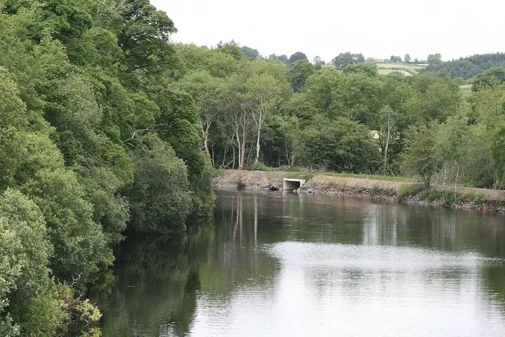
Other sources · Not known “River Boyle at Knockvicar” by Sarah777 · Wikimedia Commons · Public domain · Changes: resized and re-encoded -
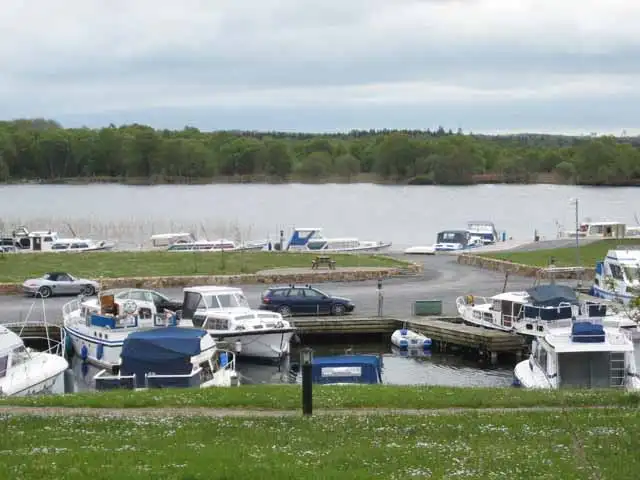
Other sources · Not known “Lough Key Marina” by Oliver Dixon · Wikimedia Commons · CC BY-SA 2.0 · Changes: resized and re-encoded -
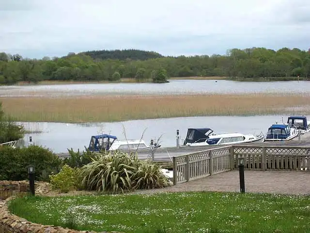
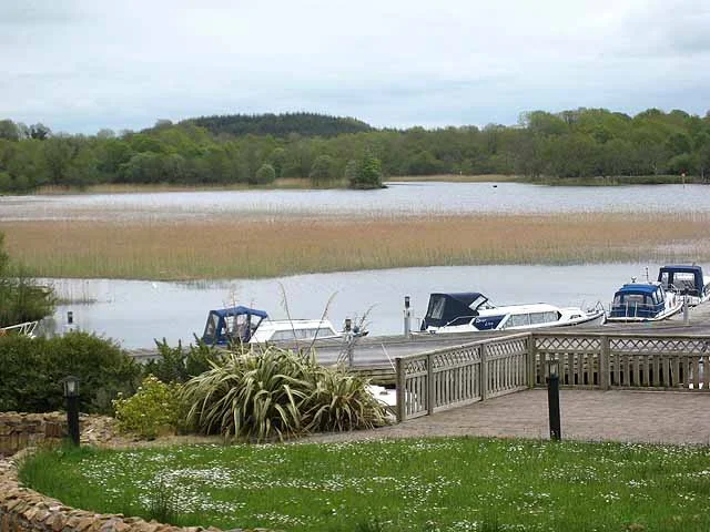
Other sources · Not known “Eastern end of Lough Key” by Oliver Dixon · Wikimedia Commons · CC BY-SA 2.0 · Changes: resized and re-encoded
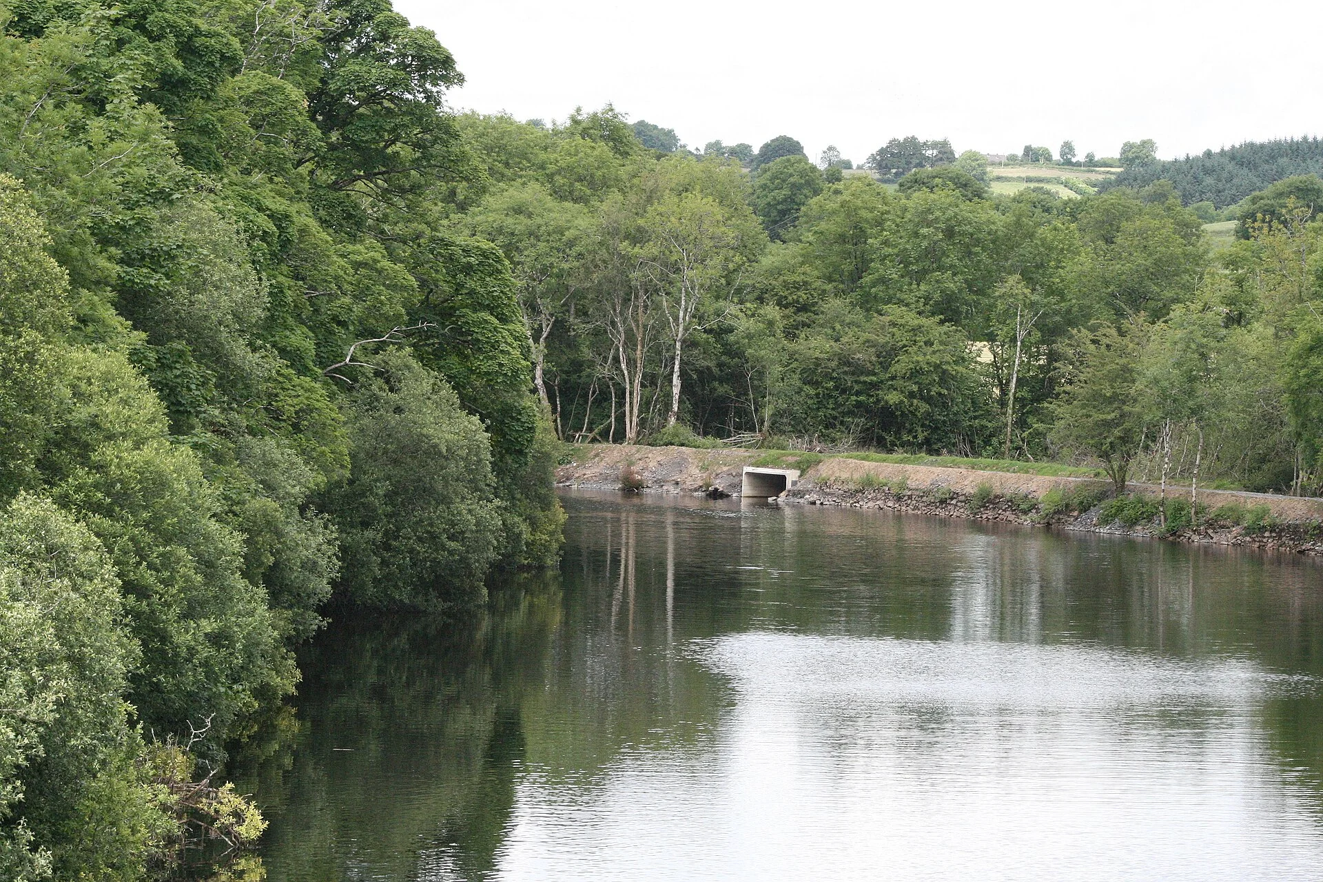


Also nearby, from OpenStreetMap (3)
Not checked by us. Tap a group to open it. © OpenStreetMap contributors
Food & drink (1)
Services (1)
Harbours & marinas from OpenStreetMap — access not checked (1)
© OpenStreetMap contributors