
Newferry
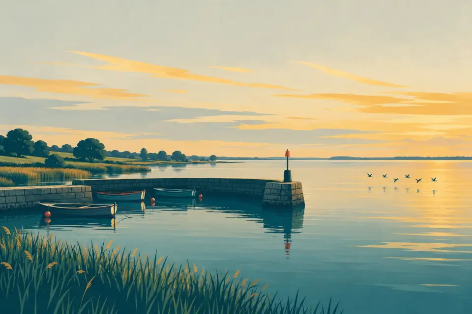
An old ferry crossing just below Lough Beg, now the water-ski centre of the Lower Bann, with jetties, slipways and council facilities on both banks.
- Public
- Water
- Max. stay: No time limit on the Lower Bann
- Not yet checked: berths, shore power, pump-out, fuel and price
Desk research, not yet checked on site · Position: © OpenStreetMap contributors · Report a change
Moor here
Newferry jetties
PublicPublic jetty · open to all boats
Current availability unknown
Report space · Seven-day history- Operator
- Mid and East Antrim Borough Council; Mid Ulster District Council
Max. stay: No time limit on the Lower Bann
Not yet checked: berths, boat length, shore power, water, pump-out, fuel, price and contact
About this mooring
Jetties on both banks beside the council slipways; expect water-ski traffic on summer evenings and weekends.
Report a problem here (power, water, weed, depth)
Anonymous. These reports go privately to our editors and are not shown on the card. To tell other boaters, sign in and use “Report now” or “Report a problem” above. Privacy
No time limit at the Lower Bann’s public moorings
The Lower Bann’s public moorings have no time limit. On Lough Neagh each marina sets its own terms: ask before you stay. Lower Bann boater information from Waterways Ireland
Today
- Loading today’s conditions…
Forecast, warnings and water levels
Weather and water
Loading the latest conditions…
About Newferry
For centuries a flat-bottomed chain ferry carried carts, cattle and sheep across the Bann here, where the river leaves Lough Beg. Today Newferry is the water-sports hub of the Lower Bann: on summer evenings and weekends the water-skiers are out in the designated zone, so keep a good lookout and hold your speed down near the slipways. There are jetties and slipways on both banks. Mid and East Antrim Borough Council looks after the east side, where Waterways Ireland lists toilets, showers and water; Mid Ulster District Council runs the west side, with toilets and water. Launching here needs a council slipway registration (£33.70 a year per person in 2026–27). River Bann Tours runs short trips from Newferry to Church Island on Lough Beg. Portglenone is about 7 km downstream.
Services
- Toilets
- Showers
- Drinking water
- Slipway
Not listed yet: eat & drink and things to do. Know one? Tell us
Neighbours by water
Show 3 more
- Toome Lock Next opening Sat, 31 Oct at 10:00
- Ballyronan
- Portna Lock Next opening Sat, 31 Oct at 10:00
≈ distances are computed along the water, not along the marked channel. Times are our estimate: 7.5 km/h and 15 minutes a lock. Check the Waterways Ireland marine notices
Photos
No photos match these filters yet.
Also nearby, from OpenStreetMap (3)
Not checked by us. Tap a group to open it. © OpenStreetMap contributors
Food & drink (1)
Services (2)
© OpenStreetMap contributors