

O’Briensbridge & Montpelier
Irish name: Droichead Uí Bhriain
A riverside village at the old Shannon crossing below Parteen Weir, loved by rowers, paddlers, anglers and walkers.
Desk research, not yet checked on site · Position: © OpenStreetMap contributors · Report a change
Moor here
No mooring details yet.
Today
- Loading today’s conditions…
Forecast, warnings and water levels
Weather and water
Loading the latest conditions…
About O’Briensbridge & Montpelier
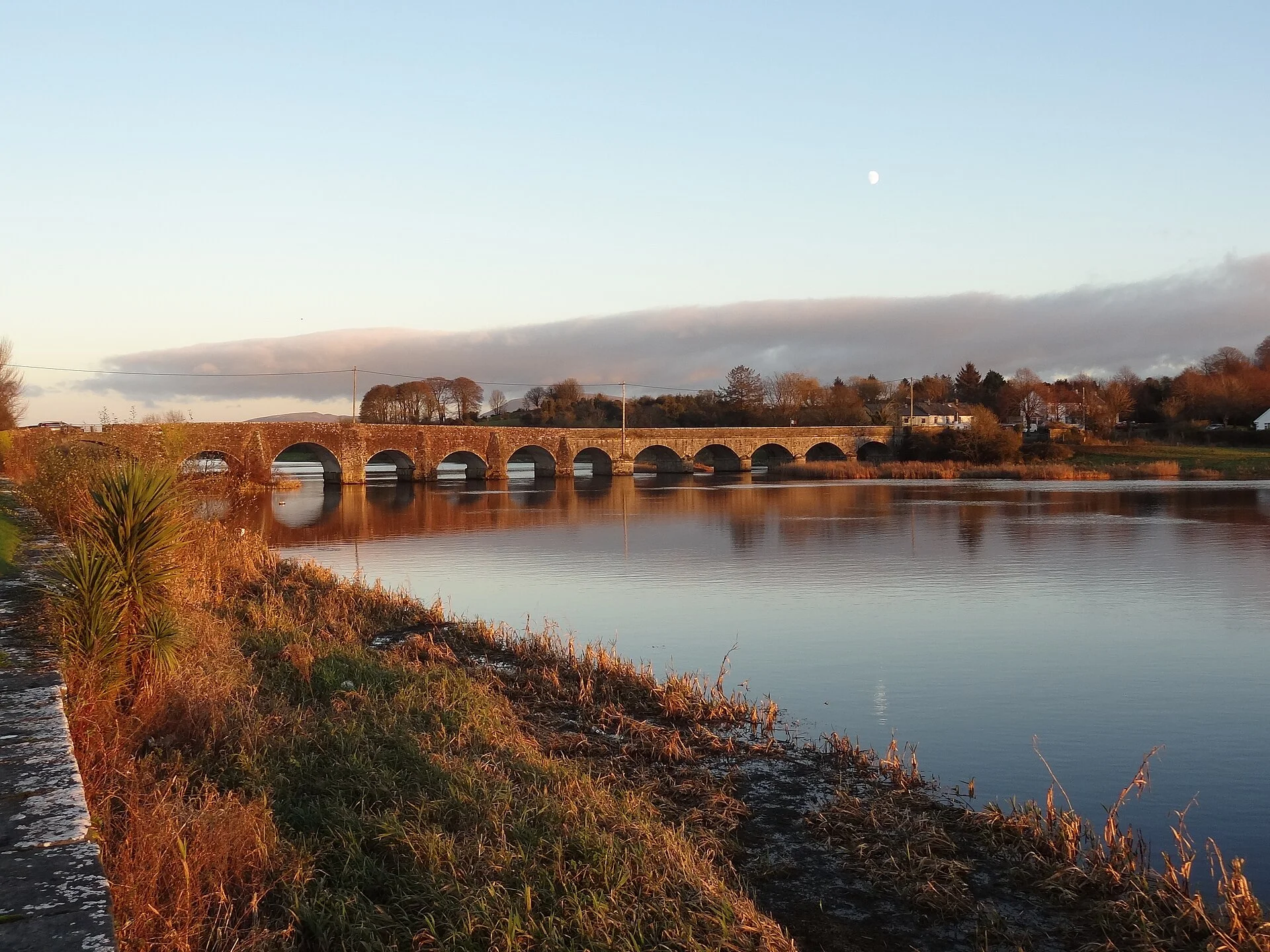
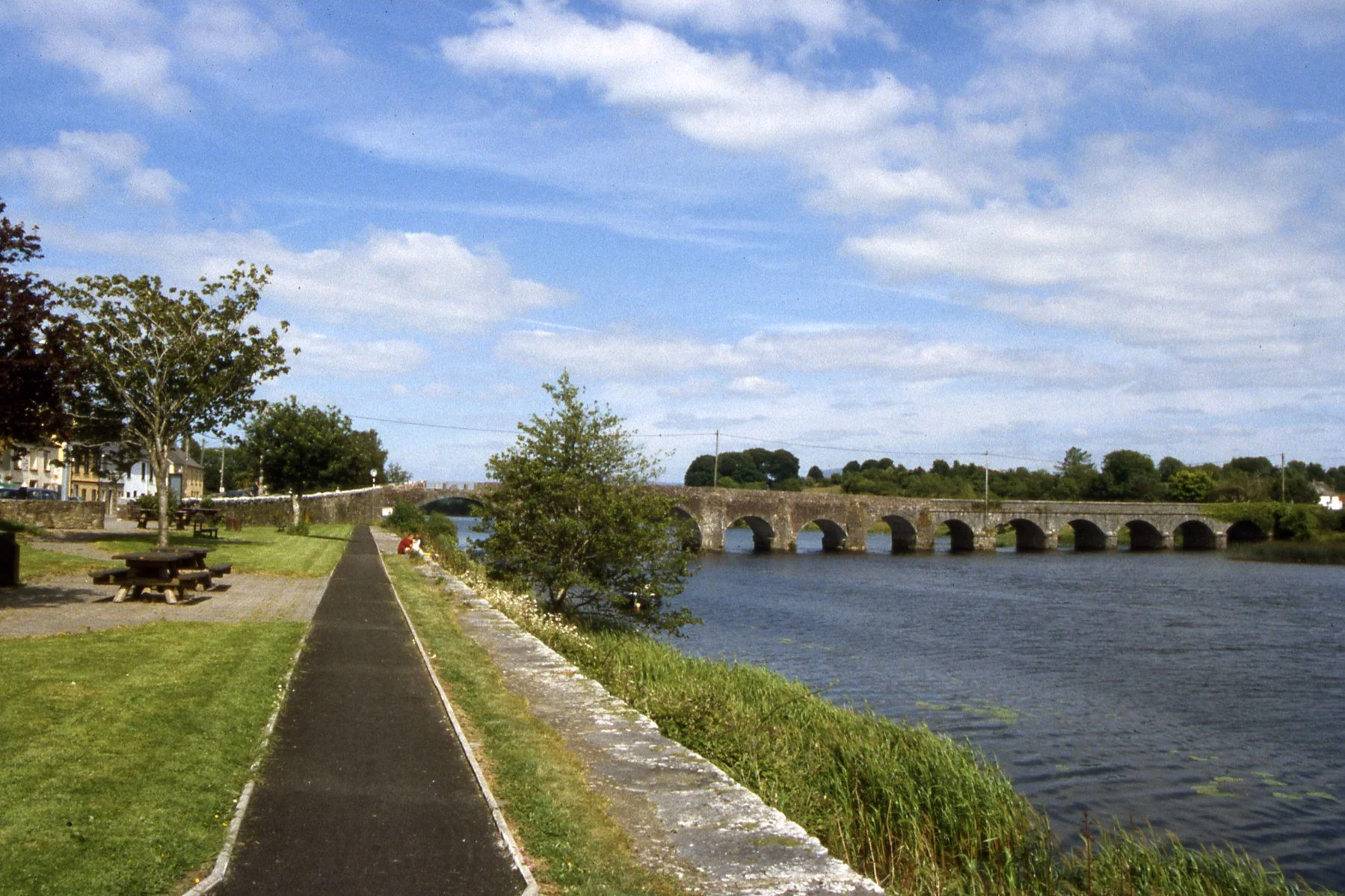
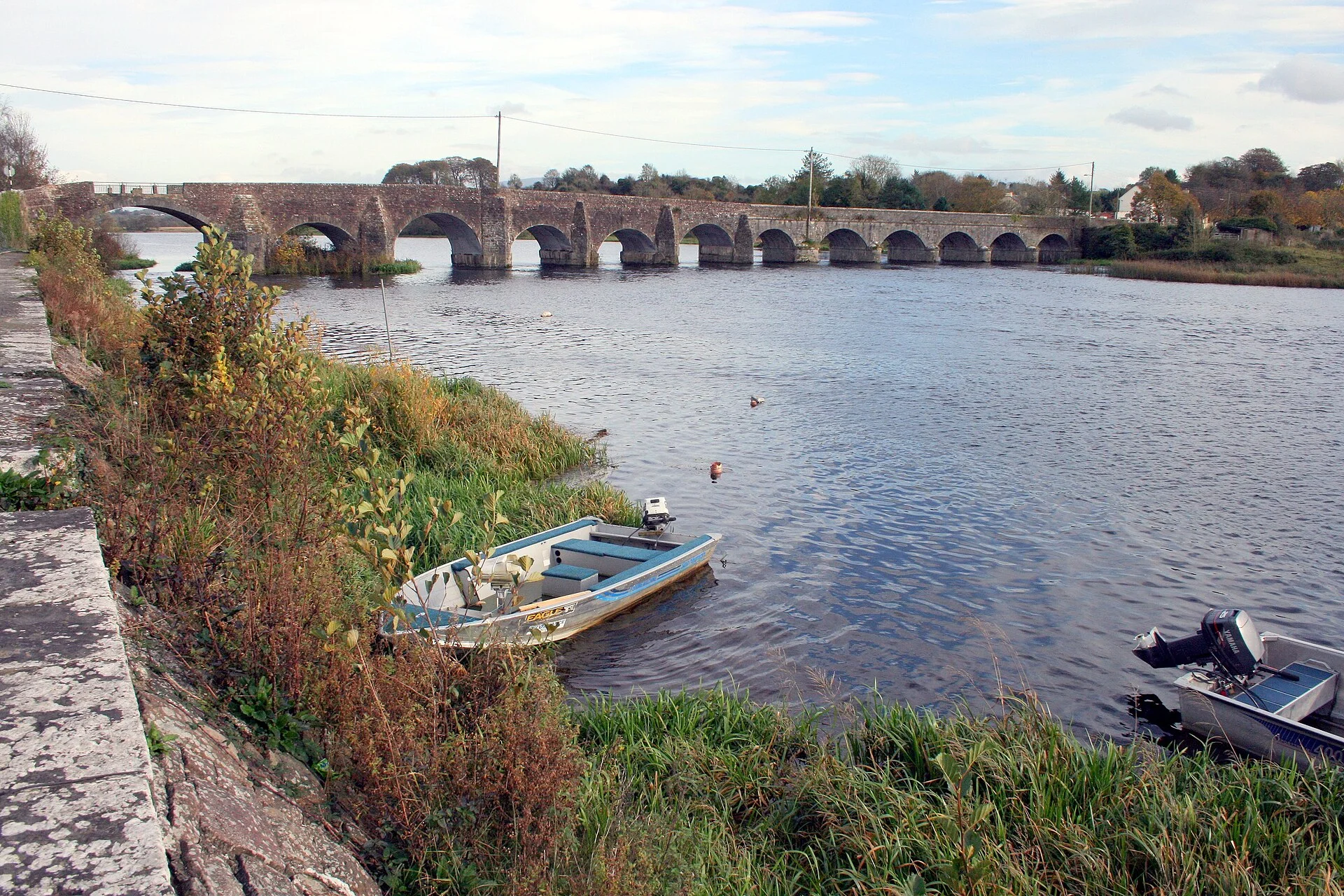
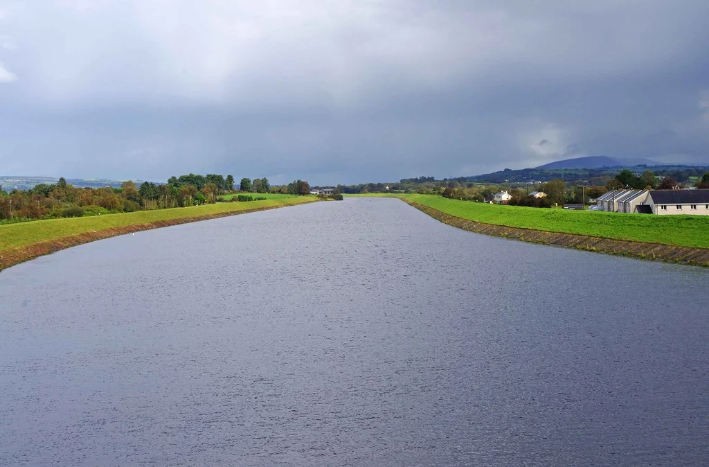
O’Briensbridge (Co. Clare) and Montpelier (Co. Limerick) face each other across a long stone bridge. The O’Briens first bridged the river here in 1506; the present bridge dates mainly from about 1750 and 1842, with a navigation arch added in the 1920s. Visit Clare calls it the sole Shannon crossing between Limerick and Killaloe. The village lies on the old river below Parteen Weir, which has no lock, so cruisers cannot reach it; the headrace canal runs just to the west. The calm, non-tidal water between the weir and Castleconnell is used for rowing, paddling, angling and water-skiing. Ashore there is a picnic area, a café, a bar and a B&B. Walks start here: a 12 km loop on the old canal towpath to Clonlara and back along the headrace embankment, and shorter river loops.
Things to do 3
- Walk
O’Briensbridge to Old Barge Loop
A 12 km loop on the old Limerick Navigation towpath to Clonlara, returning along the headrace embankment.
Website (opens another website) - Walk
Errinagh Bridge Loop
A 7 km walk through the village, along the river and over Errinagh Bridge.
Website (opens another website) - Walk
Lough Derg Way
National waymarked trail of 68.9 km from Limerick city to Dromineer on Lough Derg, following the Shannon and its old canals; usually walked in three days.
Website (opens another website)
Not listed yet: eat & drink and services. Know one? Tell us
Neighbours by water
Show 3 more
- Killaloe & Ballina Lough Derg
- Ardnacrusha Locks Closed until Wed 31 Mar 2027
- Ardnacrusha & the power station
≈ distances are computed along the water, not along the marked channel. Times are our estimate: 7.5 km/h and 15 minutes a lock. Check the Waterways Ireland marine notices
Photos 4 photos
No photos match these filters yet.
-
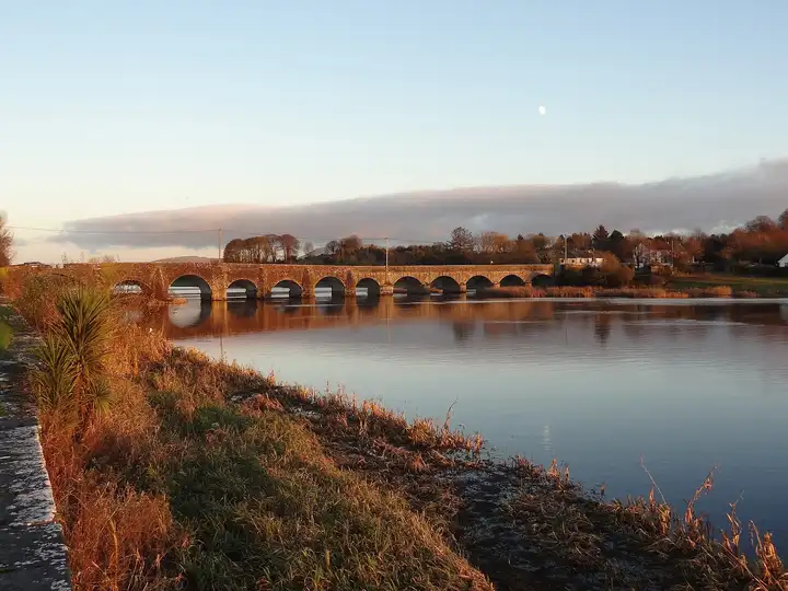
Other sources · Not known “O'Briensbridge Bridge” by Redmond O'Brien · Wikimedia Commons · CC BY-SA 2.0 · Changes: resized and re-encoded -
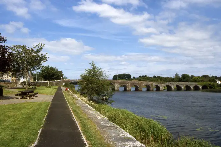
Other sources · Not known “The R Shannon at O'Briensbridge” by Colin Park · Wikimedia Commons · CC BY-SA 2.0 · Changes: resized and re-encoded -
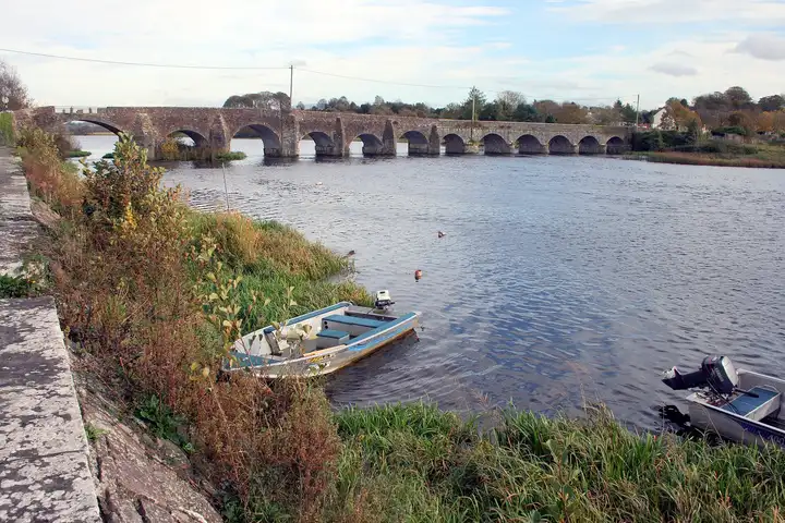
Other sources · Not known “O'Briens bridge over Shannon” by Sarah777 · Wikimedia Commons · Public domain · Changes: resized and re-encoded -
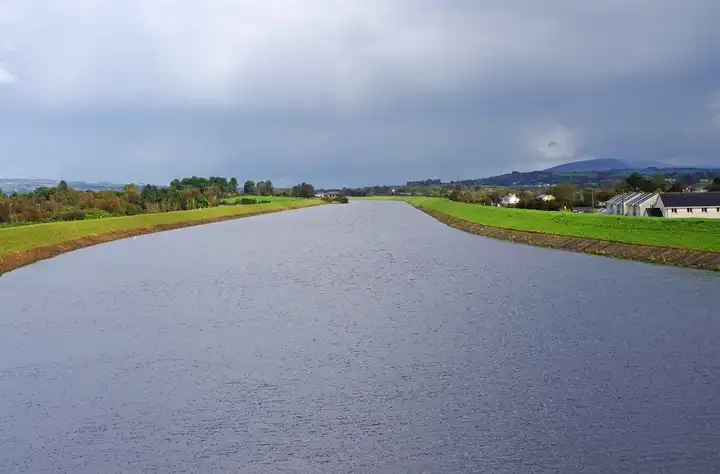
Other sources · Not known “Shannon Navigation near O'Briensbridge” by P L Chadwick · Wikimedia Commons · CC BY-SA 2.0 · Changes: resized and re-encoded


Also nearby, from OpenStreetMap (12)
Not checked by us. Tap a group to open it. © OpenStreetMap contributors
Food & drink (4)
Things to do (4)
Services (3)
Locks & bridges (1)
© OpenStreetMap contributors