

Killaloe Bridge
Also part of: Lower Shannon: Killaloe to Limerick
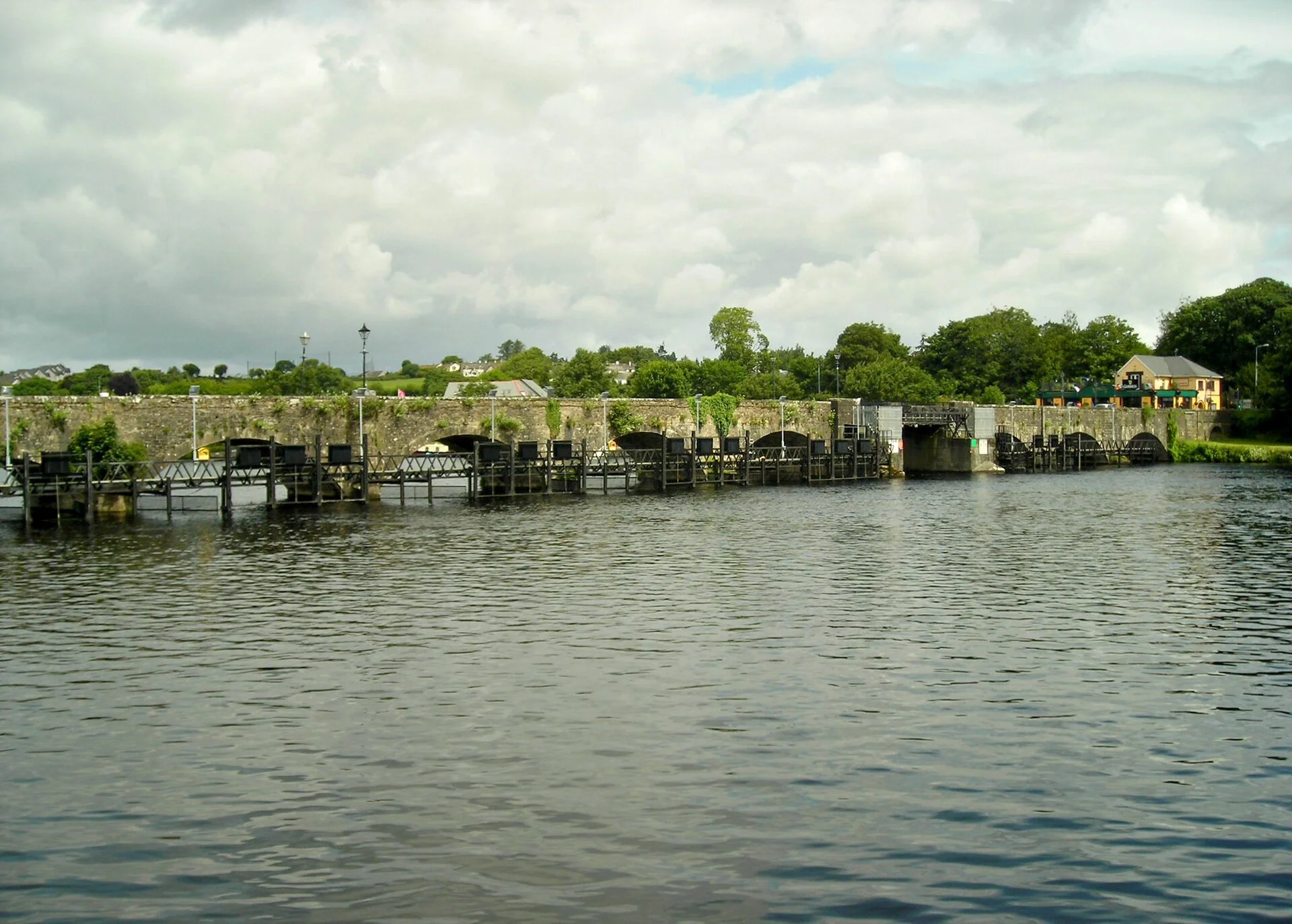
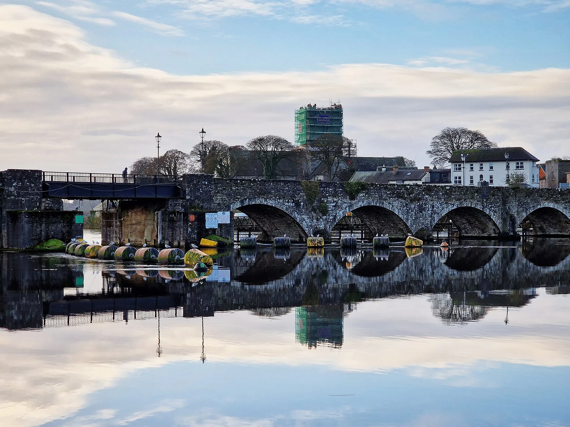
The old 13-arch stone bridge between Killaloe and Ballina: the lowest crossing anywhere on the main Shannon route, now for walkers and cyclists only.
- Clearance 3.85 m
Desk research, not yet checked on site · Position: © OpenStreetMap contributors · Report a change
Moor here
No mooring details yet.
Today
- Loading today’s conditions…
Forecast, warnings and water levels
Weather and water
Loading the latest conditions…
About Killaloe Bridge
The long stone bridge between Killaloe and Ballina marks the southern end of Lough Derg; below it the Shannon runs on towards Parteen and Limerick. Waterways Ireland gives it the lowest clearance on the main Shannon navigation, about 3.85 m at normal summer level, and less when the water is higher, so check your boat's air draft, including any canopy or mast, before heading downstream. Air-draft gauges stand on the approaches to some Shannon bridges, and if you are unsure, call the Inspector of Navigation in Athlone (+353 90 649 4232) first. Since October 2025 the old bridge has carried only walkers and cyclists; road traffic uses the new Brian Ború Bridge, opened in May 2025, whose clearance is not covered here yet. Further downstream, Ardnacrusha locks are closed until 31 March 2027, so there is no through passage to Limerick this winter.
Not listed yet: eat & drink, things to do and services. Know one? Tell us
Neighbours by water
- Killaloe & Ballina
- Ballycuggaran
- Parteen Weir & headrace intake Lower Shannon: Killaloe to Limerick
Show 3 more
- O’Briensbridge & Montpelier Lower Shannon: Killaloe to Limerick
- Castlelough
- Holy Island (Inis Cealtra)
≈ distances are computed along the water, not along the marked channel. Times are our estimate: 7.5 km/h and 15 minutes a lock.
Photos 3 photos
No photos match these filters yet.
-
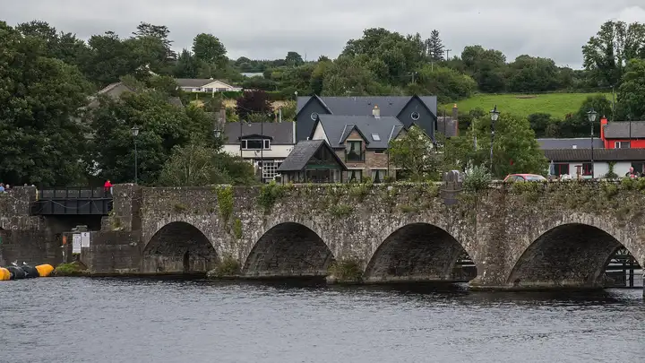
Other sources · Not known “Killaloe - Killaloe Bridge” by Jonjobaker · Wikimedia Commons · CC BY-SA 4.0 · Changes: resized and re-encoded -
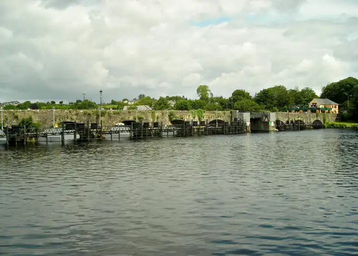
Other sources · Not known “Killaloe Bridge over the River Shannon” by Antony Dixon · Wikimedia Commons · CC BY-SA 2.0 · Changes: resized and re-encoded -
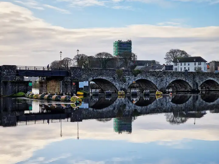
Other sources · Not known “Killaloe Bridge on a still morning” by Bripmd · Wikimedia Commons · CC BY-SA 4.0 · Changes: resized and re-encoded
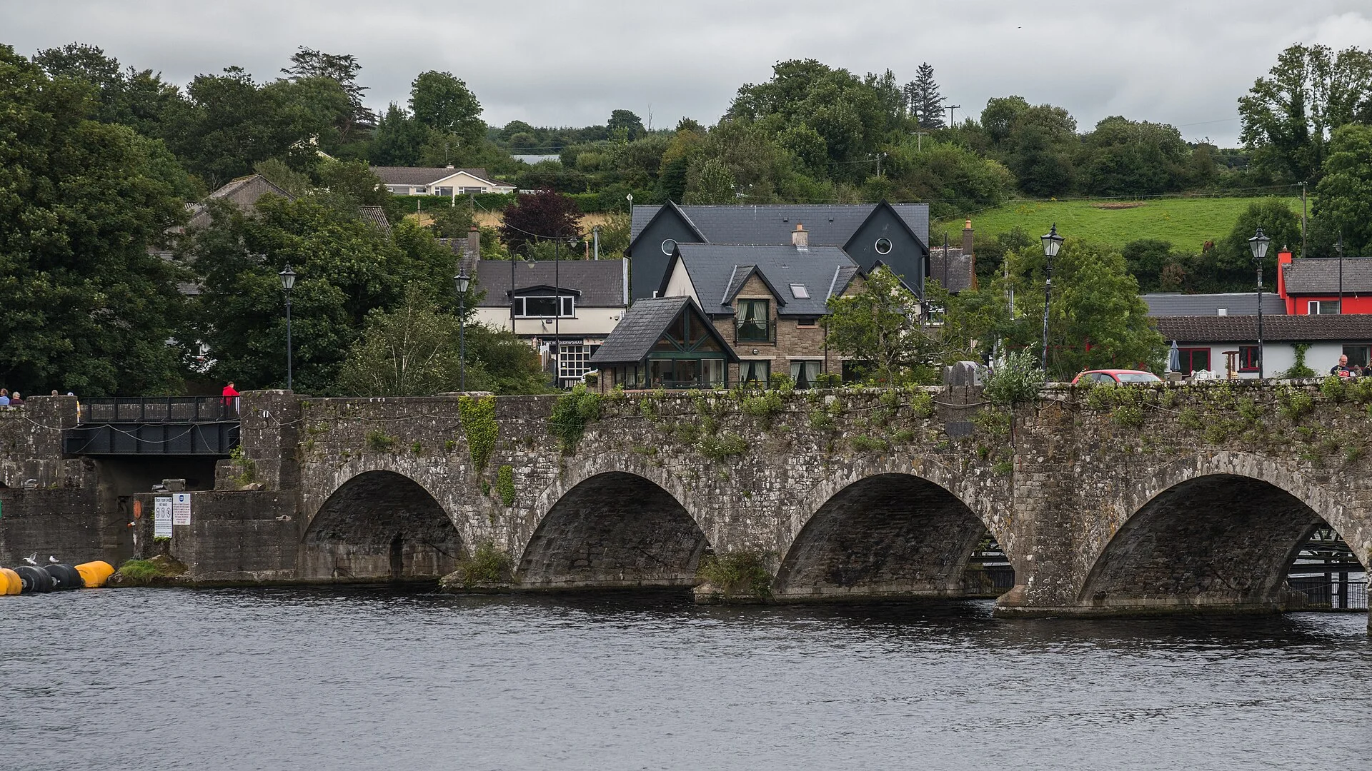


Also nearby, from OpenStreetMap (37)
Not checked by us. Tap a group to open it. © OpenStreetMap contributors
Food & drink (20)
Things to do (3)
Services (11)
Harbours & marinas from OpenStreetMap — access not checked (1)
Locks & bridges (2)
© OpenStreetMap contributors