

Portumna Bridge
The swing bridge at the head of Lough Derg: it opens for boats only at fixed times, so plan your arrival around the timetable.
Next opening Sat, 31 Oct at 10:00 Public 2 moorings
Photo: JP · CC BY-SA 2.0
The Shannon Lake Ireland
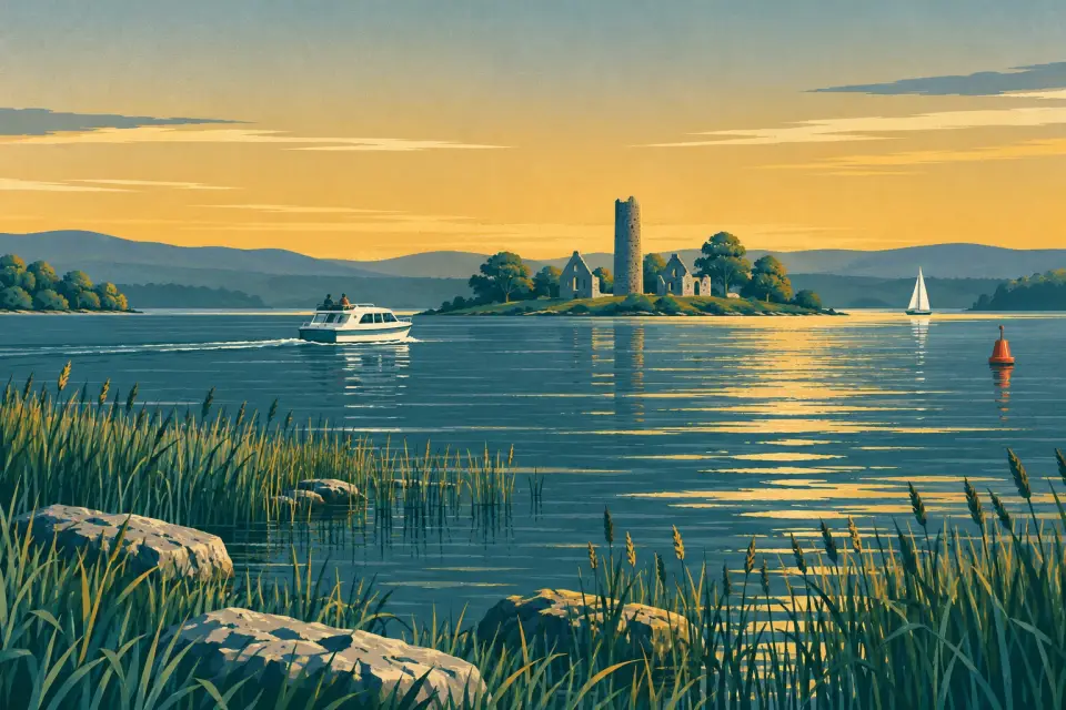
Ireland's third-largest lake: almost 40 km of open water, wooded shores and harbour villages between Portumna and Killaloe, with no locks at all.
Days and hours are our estimate: 7.5 km/h and 15 minutes a lock, about six hours a day.
Start from a ready-made trip, or plan your own day by day: distances, locks and overnight moorings.
Lough Derg is the southernmost of the Shannon's great lakes, a long, narrow sheet of water running for almost 40 km from Portumna in Co. Galway to the twin towns of Killaloe and Ballina. Galway, Tipperary and Clare share its shores, and there is not a single lock on the way: just open water, wooded islands and a string of harbours, from busy town quays to small stone piers, club harbours and private marinas. Cruising days are short. A hire boat covers Portumna to Killaloe in about five hours, so a week leaves plenty of time to linger. Ashore you will find Portumna's castle and forest park, the monastic island of Inis Cealtra off Mountshannon, music pubs at Garrykennedy and Terryglass, and Brian Ború's old capital at Killaloe. This is big water, though. It can turn rough within an hour when the wind rises, above all from the south, so check the lake forecast before every crossing, keep to the marked channel and pick a sheltered harbour for the night. Each stop below says who may moor there and what is ashore.
19 stops around the lake.
Desk research, not yet checked on site
The swing bridge at the head of Lough Derg: it opens for boats only at fixed times, so plan your arrival around the timetable.
Photo: JP · CC BY-SA 2.0

Lough Derg's northern gateway: a Galway market town with a restored castle, a large forest park, a workhouse museum and both lake and river harbours.
Photo: David P Howard · CC BY-SA 2.0
A small, owner-run private marina in a quiet Galway bay south-west of Portumna, with a boatyard, lift and winter storage; visitors phone ahead.

A quiet north-shore village with a 6th-century monastic past, a 13th-century castle and two pubs a short walk from the harbour.
Photo: David P Howard · CC BY-SA 2.0

An old barley quay on the Tipperary shore below Terryglass, now a quiet mooring; much of the harbour is private, so ask before tying up.
Photo: David P Howard · CC BY-SA 2.0

A quiet Galway-shore harbour at the mouth of the Woodford River, popular for summer swims and the way into a winding, reed-lined river.
Photo: P L Chadwick · CC BY-SA 2.0

A historic private harbour near Whitegate, once the Dublin Steam Packet Company's Lough Derg base and now a small marina for berth holders.
Photo: JP · CC BY-SA 2.0
A sheltered council harbour near Whitegate on the Clare shore, with a stone wall, finger berths and a small service block.

A tidy 18th-century village above a busy harbour: the gateway to Holy Island, with a Blue Flag bathing area beside the moorings.
Photo: P L Chadwick · CC BY-SA 2.0

A lively little Tipperary-shore village with a public marina, a yacht club founded in 1835, a private marina with diesel, a beach and the lake's lifeboat.
Photo: David P Howard · CC BY-SA 2.0

An uninhabited monastic island 2 km from Mountshannon, with a round tower, ruined churches and more than a thousand years of history.
Photo: Deadstar · CC BY-SA 3.0
A small East Clare market town at the head of the winding Scarriff River, with a well-serviced public harbour, shops and pubs.

A tiny Tipperary harbour village with three places to moor, an O'Kennedy castle ruin, two well-known pubs and woodland walks.
Photo: Nicesunnyday19 · CC BY-SA 4.0

A small Clare village on the Scarriff River with Ireland's oldest church in continuous use and a quiet stone quay below the village.
Photo: Oliver Dixon · CC BY-SA 2.0

A quiet bay on the Tipperary shore between Dromineer and Garrykennedy, with an old turf quay that is now a local swimming spot.
Photo: P L Chadwick · CC BY-SA 2.0
A lakeshore amenity near Portroe, between Garrykennedy and Killaloe, with toilets and showers listed by Waterways Ireland.

A Blue Flag lakeshore beach and water-sports amenity under Crag Hill, a few kilometres north of Killaloe on the Clare shore.
Photo: Colin Park · CC BY-SA 2.0

Twin towns joined by an old 13-arch bridge at Lough Derg's southern tip, steeped in Brian Ború history, with moorings on both banks and plenty of pubs.
Photo: David P Howard · CC BY-SA 2.0

The old 13-arch stone bridge between Killaloe and Ballina: the lowest crossing anywhere on the main Shannon route, now for walkers and cyclists only.
Photo: Jonjobaker · CC BY-SA 4.0
Pump-out, water, fuel, shore power, showers and laundry where a listing says so, in route order. Tap a stop for who runs it and when.
A stop not listed here may still have them: nobody has checked yet. Know better? Report a change
Mooring limits, locks, speed and hazards, in our own words with links to the sources.
Public harbours follow the Shannon bye-laws: all year round you may stay at most five consecutive days, or seven days altogether in any one month (Waterways Ireland). Tying up at a public harbour costs nothing; private marinas, club harbours and hire bases set their own rules, so phone ahead. From November to March power and water at public moorings are switched off, and the five-day rule still applies unless you hold a paid winter mooring (€63.50 for 2026/27, booked online) (Marine Notice 107/2026).
Showers, pump-outs and shore power at the public harbours run on a Waterways Ireland Smart Card (€6.35 for 10 units in the WI shop); hire bases sell them too. Dromineer's new service building takes contactless payment.
There are no locks on the lake. Portumna Bridge at the north end swings open only at set times. Killaloe's old bridge at the south end is the lowest on the main Shannon, about 3.85 m air draft at normal summer level. Ardnacrusha locks below Killaloe are closed until 31 March 2027 (Marine Notice 106/2026).
The lake is exposed, especially to southerly winds, and waves build fast. Read the Met Éireann inland lakes forecast and the warnings before a crossing, keep to the marked channel and give rocky points and harbour entrances a wide berth: several harbours are entered between marks.
5 km/h near infrastructure and moored vessels: bridges, jetties, harbours and boats alongside (Special Marine Notice 1/2026). Registration with Waterways Ireland is free and needed for every boat except an open, undecked one under 15 bhp.
Call 112 or 999 and ask for the Coast Guard. The RNLI lifeboat is stationed at Dromineer.
This is a travel guide, not a navigation aid.
Loading the latest conditions…
No locks on this waterway. The times below are worked out on this device. They change with the season: always read the notice.
All lock and bridge times Check the Waterways Ireland marine notices
Hire companies with a base on this waterway.
Ready-made trips that start here or pass through.
Photo: David P Howard · CC BY-SA 2.0
Photo: David P Howard · CC BY-SA 2.0
Photo: P L Chadwick · CC BY-SA 2.0

Photo: Miguel Mendez · CC BY 2.0

Photo: Jonathan Thacker · CC BY-SA 2.0
Current Waterways Ireland marine notices for this waterway. The one-line summaries are ours: read the notice itself.
Source: Waterways Ireland · All marine notices on Waterways Ireland
Our marketplace buz.ie
On buz.ie by county: Co. Clare (opens buz.ie in a new tab) Co. Tipperary (opens buz.ie in a new tab) Co. Galway (opens buz.ie in a new tab)
Places on the map that are not near one of our stops. Listed on OpenStreetMap, not checked by us. © OpenStreetMap contributors