
Portumna round Lough Derg
A week from Le Boat's Portumna base around the whole of Lough Derg, with nights at Terryglass, Dromineer, Killaloe, Scarriff, Mountshannon and Dromaan.
- Nights
- 7
- Distance
- 111 km
- Locks
- 0
- Under way
- 14.9 h
- Route
- Round trip
- Level
- ModerateSome longer days or open lake crossings.
- Boat
- Hire boat
- Best months
- May to September
Change the dates, nights or stops, and see each day’s locks, bridge openings and sunset.
Planning estimate only. Lines are approximate and may cross shallows, rocks or other hazards.
Navigation and responsibility
Navigate with official charts, the navigation marks and a proper marine navigation device. Jetty Hop accepts no responsibility for navigation. Read the full disclaimer
The route
- Start
- 1Night stop
- The route
- Approximate line — not a navigation line
- Portumna
- 1 Terryglass
- 2 Dromineer
- 3 Killaloe & Ballina
- 4 Scarriff
- 5 Mountshannon
- 6 Dromaan Harbour
Along our planning network, a planning estimate only. Dashed lines are approximate and may cross shallows, rocks or other hazards; no depths are checked. Navigate with official charts, the navigation marks and a marine navigation device. © OpenStreetMap contributors · © Waterways Ireland via EPA (CC BY 4.0, modified)
Estimate, not for navigation · This is a travel guide, not a navigation aid.
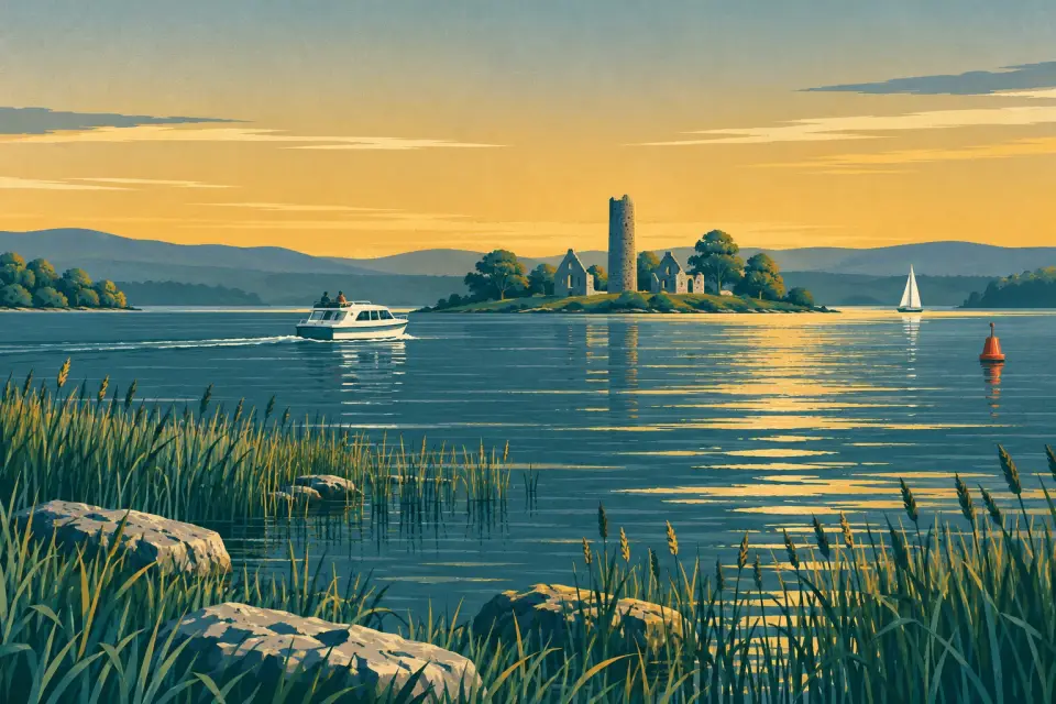
A week on one lake, for crews who prefer harbours and pubs to locks. Lough Derg runs for almost 40 km from Portumna to Killaloe without a single lock, so the only fixed time in the week is the swing bridge at Portumna. This loop takes in both shores: music pubs at Terryglass and Garrykennedy, the sailing village of Dromineer, the twin towns of Killaloe and Ballina, the market town of Scarriff, the monastic island off Mountshannon and a quiet last night at Dromaan. No cruising day is longer than three hours, which leaves room for walks, swims and long lunches. It suits first-timers who are happy to watch the weather: this is big, open water, and it can turn rough within an hour, especially in a southerly wind.
Good to know: This is a travel guide, not a navigation aid. Distances come from our OpenStreetMap route network, with lake crossings drawn as approximate lines; times are estimates at 7.5 km/h.
Day by day
The status of locks and bridges is for today. Hours change with the season: check them for your dates. Check the Waterways Ireland marine notices · All lock and bridge times
Day 1 Night 1
Portumna → Terryglass
4.1 km No locks 0.6 h under way
Le Boat's base is in Connacht Harbour, on the upstream side of Portumna Bridge, so your first job is to catch an opening of the swing span. From April to September it opens Monday to Saturday at 10:00, 11:00, 12:30, 14:30, 16:00, 17:30 and 18:30, and on Sundays at 10:00, 11:00, 12:30, 14:30, 16:00 and 17:00; wait at the floating jetty above it. If you miss the last opening, stay in Connacht Harbour, which is public. Then it is a short run onto the lake to Terryglass. Moor along the inner walls of the harbour; the outer side is lively in a strong wind. Paddy's Bar and The Derg Inn both serve food and host music.
Lock and bridge times on the way
- Portumna Bridge Next opening Sat, 31 Oct at 10:00
Notice: Opened by the bridge-keeper at the times shown only: +353 90 974 1011 (Waterways Ireland). Wait at the floating jetties above or below the bridge. About 1.82 m under the closed span at ordinary summer level.
Terryglass: moorings
- Terryglass Harbour Public Harbour · open to all boats
Day 2 Night 2
Terryglass → Dromineer
22.3 km No locks 3 h under way
Before you leave, take a look at Old Court, the four-towered castle built beside the harbour between 1219 and 1232; it is a national monument, seen from outside only. Terryglass has no pump-out, so empty the tank at Dromineer. Today's run south to Dromineer is about 22 km of open lake, so read the forecast first and keep to the marked channel. Dromineer has a public marina with floating jetties, shore power and a pump-out, and a new building with showers paid by tapping a card. The Whiskey Still is a few steps from the berths, the beach beside the harbour is an official bathing water, and the RNLI's Lough Derg lifeboat is based here.
Open water today: read the lake forecast before you set off, and stay in harbour if the wind is strong. Warnings and lake forecasts
Dromineer: moorings
- Dromineer public marina Public Harbour · open to all boats
- Lough Derg Yacht Club harbour By arrangement Club moorings · visitors by arrangement — call ahead
- Shannon Sailing Marina By arrangement Private marina · visitors by arrangement — call ahead
Day 3 Night 3
Dromineer → Killaloe & Ballina
22.1 km No locks 2.9 h under way
Garrykennedy lies on the way south, so stop there for lunch: the floating jetties outside the old stone harbour suit visiting cruisers, and Larkins, a thatched bar two minutes away, is known for food and traditional music. This is open water, so check the forecast before each leg. Then follow the lake as it narrows to Killaloe & Ballina, where public jetties lie above the old bridge on both banks. Stay above it: it is the lowest bridge on the main Shannon. St Flannan's Cathedral, from about 1200, is open daily, and pubs, restaurants and supermarkets are a short walk from every berth.
Open water today: read the lake forecast before you set off, and stay in harbour if the wind is strong. Warnings and lake forecasts
Killaloe & Ballina: moorings
- Killaloe river jetty Public Public jetty · open to all boats
- Killaloe canal moorings Public Quay wall · open to all boats
- Killaloe quays below the bridge Public Quay wall · open to all boats
- Ballina jetty Public Public jetty · open to all boats
Day 4 Night 4
Killaloe & Ballina → Scarriff
20.2 km No locks 2.7 h under way
Head north up the Clare shore: open water again, so check the forecast. At the head of Scarriff Bay the lake gives way to the winding, tree-lined Scarriff River. On a sharp bend you pass Reddan's Quay at Tuamgraney, where a restored lime kiln stands by the water; St Cronan's Church, ten minutes' walk away, has parts from the 10th century and a claim to be Ireland's oldest church in continuous use. Scarriff harbour has concrete finger berths, so there is usually room, plus water, shore power, a pump-out, toilets and showers. The town, fifteen minutes on foot, is a good place to restock: supermarkets, a butcher, a pharmacy and the Garden Café at the community co-op.
Open water today: read the lake forecast before you set off, and stay in harbour if the wind is strong. Warnings and lake forecasts
Day 5 Night 5
Scarriff → Mountshannon
9.7 km No locks 1.3 h under way
A short morning hop down the river and along the bay. Arrive early, because Mountshannon harbour is one of the busiest on the lake on summer evenings; it has berths on the wall and on floating jetties, shore power, a pump-out, toilets and showers. From April to September a guided boat leaves the pier daily, weather permitting, for Inis Cealtra, the monastic island with a round tower and six ruined churches; there is no need to book. The Inis Cealtra Visitor Experience in the Old Rectory tells the story first, and has a café upstairs. The Blue Flag bathing area beside the harbour has lifeguards in summer.
Open water today: read the lake forecast before you set off, and stay in harbour if the wind is strong. Warnings and lake forecasts
Mountshannon: moorings
- Mountshannon Harbour Public Harbour · open to all boats
- Iniscealtra Sailing Club harbour Private · not yet checked Club moorings · visitor access not yet checked — ask locally before tying up
- Private marina east of Mountshannon Harbour Private · not yet checked Private marina · visitor access not yet checked — ask locally before tying up
Day 6 Night 6
Mountshannon → Dromaan
11 km No locks 1.5 h under way
Run east along the Clare shore to Dromaan Harbour, just south of the private marina at Williamstown. This is open water again: check the forecast and stay another night in Mountshannon if it is rough. Dromaan is a small, very sheltered council harbour where boats lie against the wall or in concrete finger berths. There are toilets and showers but no pump-out or shore power, so empty your tank in Mountshannon before you leave. It is a quiet rural stop: Whitegate, a couple of miles inland, has The Half Barrell pub with home cooking and traditional music, and is a trailhead of the East Clare Way.
Open water today: read the lake forecast before you set off, and stay in harbour if the wind is strong. Warnings and lake forecasts
Dromaan Harbour: moorings
- Dromaan Harbour Public Harbour · open to all boats
Day 7 Night 7
Dromaan → Portumna
21.4 km No locks 2.9 h under way
Back up the lake to Portumna, keeping to the marked channel; read the forecast first, and if the wind is strong, wait in Dromaan for it to ease and let the base know. Time your arrival for a bridge opening, since the base lies above the swing span. If you are early, tie up at Castle Harbour, the public lake harbour beside the castle demesne, and walk up to Portumna Castle, an early 17th-century house of the de Burgo earls with formal and walled gardens, or into the forest park. The Irish Workhouse Centre runs guided tours from March to October. Then take the next opening through to Connacht Harbour and hand the boat back.
Open water today: read the lake forecast before you set off, and stay in harbour if the wind is strong. Warnings and lake forecasts
Lock and bridge times on the way
- Portumna Bridge Next opening Sat, 31 Oct at 10:00
Notice: Opened by the bridge-keeper at the times shown only: +353 90 974 1011 (Waterways Ireland). Wait at the floating jetties above or below the bridge. About 1.82 m under the closed span at ordinary summer level.
Portumna: moorings
- Castle Harbour Public Harbour · open to all boats
- Connacht Harbour Public Harbour · open to all boats
- Le Boat Portumna base Hire fleet only Private marina · hire fleet only
- Portland Harbour Not yet checked Harbour · visitor access not yet checked
Before you go
- Portumna Bridge. The times above are the 2026 timetable; in late March and October there is one opening fewer each day and in winter only two or three, all in the morning (Waterways Ireland). Check lock and bridge times before you plan days 1 and 7. The bridge can be phoned on +353 90 974 1011.
- Weather. Read the Met Éireann inland lakes forecast and the warnings on Today on the water every morning. Several harbours are entered between marks, so give rocky points and entrances a wide berth.
- Smart Card. Showers, pump-outs and shore power at the public harbours run on a Waterways Ireland Smart Card; hire bases sell them.
- Stay above Killaloe. Killaloe's old bridge leaves about 3.85 m at normal summer level, and below it the Ardnacrusha locks are closed until 31 March 2027 (Marine Notice 106/2026).
- Events in 2027. Lough Derg Yacht Club hosts the International 420 Munster Championship at Dromineer from 1 to 3 May, and the Gaelforce Great Lake Swim starts and finishes at Portumna on 10 July: slow down and keep clear of the racing and the swimmers.
- Handover. Le Boat warns that the pre-departure briefing is sometimes given only the morning after you arrive (Le Boat); Terryglass is close enough to reach the next day.
- Emergency. Call 112 or 999 and ask for the Coast Guard; the RNLI lifeboat is at Dromineer.
Hire companies
Each has a base where this trip starts (Portumna). Book with the company directly: boats, prices and dates are theirs to confirm.
Weather and timing
Distances and times are estimates for planning, not for navigation. On the big lakes the wind matters more than the distance: read the forecast every morning and stay in harbour when it blows. Lock and bridge hours change with the season.
Today’s warnings and lake forecasts Met Éireann inland lakes forecast Lock & bridge times
This is a travel guide, not a navigation aid. Always use official charts and Waterways Ireland marine notices.
More trips nearby
-
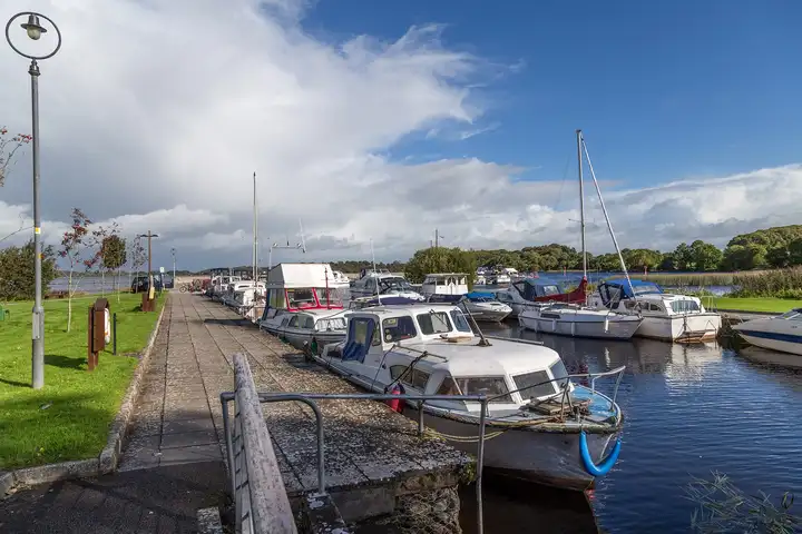
Portumna short break on north Lough Derg
3 nights 51 km No locks
Start: Portumna Round trip
With Le Boat
Photo: David P Howard · CC BY-SA 2.0
-
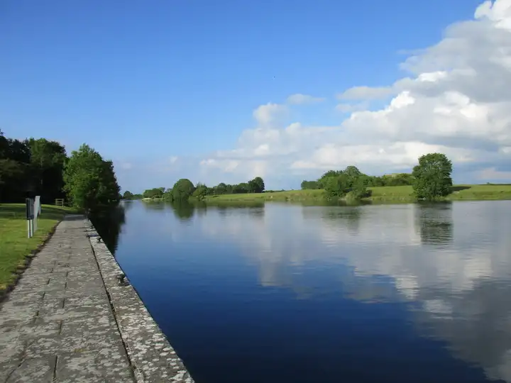
Banagher to Lough Derg and back
7 nights 138 km 2 locks
Start: Banagher Round trip
With Silverline Cruisers, Carrickcraft
Photo: Jonathan Thacker · CC BY-SA 2.0
-
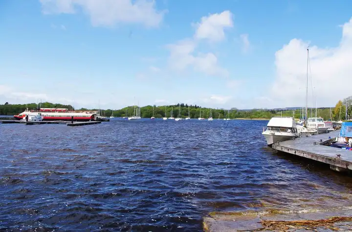
A Lough Derg weekend from Killaloe for boat owners
2 nights 49 km No locks
Start: Killaloe & Ballina Round trip
Photo: P L Chadwick · CC BY-SA 2.0


