
Scarriff
Irish name: An Scairbh
A small East Clare market town at the head of the winding Scarriff River, with a well-serviced public harbour, shops and pubs.
- Public
- Shore power
- Water
- Pump-out
- Not yet checked: berths, fuel and price
Desk research, not yet checked on site · Position: © OpenStreetMap contributors · Report a change
Moor here
Scarriff Harbour
PublicHarbour · open to all boats
Current availability unknown
Report space · Seven-day history- Shore power
- Yes
- Drinking water
- Yes
- Pump-out
- Yes
Not yet checked: operator, berths, boat length, fuel, price and contact
About this mooring
Max. stay: Up to 5 days in a row, or 7 days in a month; longer stays from November to March only with a winter mooring permit
Public harbour at the head of the river, extended with concrete finger berths; water, shore power and pump-out.
Shore power and water are usually switched off from November to March.
Report a problem here (power, water, weed, depth)
Anonymous. These reports go privately to our editors and are not shown on the card. To tell other boaters, sign in and use “Report now” or “Report a problem” above. Privacy
Mooring limit: 5 days in a row, 7 days a month
Public moorings on the Shannon Navigation and the Shannon–Erne Waterway: at the same public harbour for at most 5 days in a row, or 7 days in total in any month, all year round. A longer stay in winter (1 November to 31 March) needs a winter mooring from Waterways Ireland. Boater information from Waterways Ireland
From here
1 itinerary
- Itineraries that stop here
- In the guide
Today
- Loading today’s conditions…
Forecast, warnings and water levels
Weather and water
Loading the latest conditions…
About Scarriff
Scarriff sits a little inland from the western arm of Lough Derg, at the head of the short, winding Scarriff River. The harbour has been extended with concrete finger berths, so there is usually room, and its Waterways Ireland block has toilets and showers, with pump-out, water and shore power on the quay. The town centre is about fifteen minutes' walk away. You will find supermarkets, a butcher, a pharmacy, a bank with an ATM, several pubs and the Garden Café at the East Clare Community Co-op, which grows much of its own food. The Market House on the square is the town's landmark, and each July an open-air harbour festival takes over. Within reach are the Cappabane wedge tomb, around 4,000 years old, Irish Seed Savers' heritage orchards and a 9 km trail to Mountshannon around Scarriff Bay.
Eat & drink 2
McNamara's
Bar on the market square in the centre of Scarriff.
The Garden Café
Community café at the East Clare Co-op; most of the food is grown in its own garden, the rest sourced locally.
eastclarecoop.com (opens another website)Things to do 6
- Heritage
Cappabane Wedge Tomb
About 2 km north of the town; around 4,000 years old.
- Heritage
Scarriff Market House
The landmark market house on the town square.
- Festival
Scarriff Harbour Festival
Open-air festival at the harbour every July.
- Attraction
Irish Seed Savers
Organic seed farm and heritage apple orchards near the town.
- Walk
Scarriff to Mountshannon trail
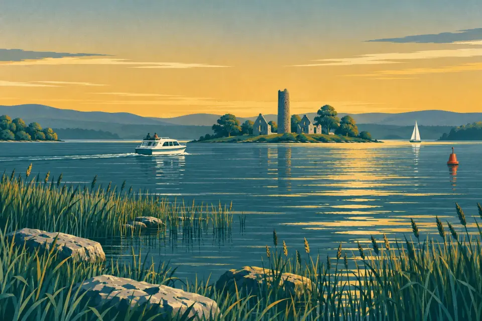
9 km walk to Mountshannon along Scarriff Bay, looking out to Inis Cealtra.
-
Derg Isle Adventure Centre
Kayaking, canoeing, paddleboarding and lake-boat hire on sheltered reed channels in Scarriff Bay, plus archery and a climbing wall.
dergisle.com (opens another website)
Services
- Pump-out
- Showers
- Toilets
- Drinking water
Neighbours by water
Show 3 more
≈ distances are computed along the water, not along the marked channel. Times are our estimate: 7.5 km/h and 15 minutes a lock.
Photos
No photos match these filters yet.
Also nearby, from OpenStreetMap (18)
Not checked by us. Tap a group to open it. © OpenStreetMap contributors
Food & drink (10)
Services (8)
© OpenStreetMap contributors