

Galway
Irish name: Gaillimh
Galway city's start of the Corrib navigation: Woodquay and Steamers Quay, where the Corrib Princess boards for the lake.
- Public
- Private · not yet checked
- Not yet checked: berths, shore power, water, pump-out, fuel, price and maximum stay
Desk research, not yet checked on site · Position: © OpenStreetMap contributors · Report a change
Moor here 2
Steamers Quay
PublicQuay wall · open to all boats
Current availability unknown
Report space · Seven-day historyNot yet checked: operator, berths, boat length, shore power, water, pump-out, fuel, price and contact
About this mooring
City quay above the Salmon Weir, named after the lake steamers; the Corrib Princess boards here. Fáilte Ireland lists it as one of the two easiest access points to the lower lake. No information on visitor berths, power or water.
Report a problem here (power, water, weed, depth)
Anonymous. These reports go privately to our editors and are not shown on the card. To tell other boaters, sign in and use “Report now” or “Report a problem” above. Privacy
Corrib Rowing and Yachting Club
Private · not yet checkedClub moorings · visitor access not yet checked — call ahead
Current availability unknown
Report space · Seven-day history- Operator
- Corrib Rowing and Yachting Club
Not yet checked: berths, boat length, shore power, water, pump-out, fuel and price
Position: © OpenStreetMap contributors
About this mooring
Private club on Earl's Island beside the Salmon Weir, founded in 1864 for cruisers, rowing, angling and powerboats, with its own clubhouse. Membership is closed and no arrangements for visiting boats are published, so ask the club first.
Run this marina? Tell us your visitor rules
Report a problem here (power, water, weed, depth)
Anonymous. These reports go privately to our editors and are not shown on the card. To tell other boaters, sign in and use “Report now” or “Report a problem” above. Privacy
No published time limit at the piers
Lough Corrib is not a Waterways Ireland navigation: there is no published time limit at the piers. Anglers and the cruise boats use them too, so keep landing steps and departure berths clear. The navigation, from IWAI Corrib
Today
- Loading today’s conditions…
Forecast, warnings and water levels
Weather and water
Loading the latest conditions…
About Galway
Woodquay, on the east bank of the River Corrib just above the Salmon Weir, is where Galway meets its lake. Steamers Quay takes its name from the steamboats that carried passengers and cargo up the Corrib from here; the St Patrick ran to Cong until 1914. Today it is the boarding point for the Corrib Princess, whose 90-minute guided cruises head upriver onto Lough Corrib between April and October. Fáilte Ireland names Steamers Quay and Annaghdown Pier as the easiest ways onto the lower lake. Several rowing clubs share this stretch of river, so look out for crews. The city centre, with its shops, pubs and restaurants, is a short walk away, and the free Galway City Museum is on Spanish Parade. Upstream, the river runs under the Quincentenary Bridge towards Menlo and the lake.
Things to do 3
- Boat trip
Corrib Princess cruise
A 90-minute guided trip up the river and onto the lake from Woodquay; afternoon sailings from April to October, with an extra midday one in high summer.
Website (opens another website) - Museum
Galway City Museum
Free city museum on Spanish Parade with exhibitions on the Claddagh and Galway's history; open Tuesday to Saturday 10:00–17:00, and on Sunday afternoons from Easter to mid-September.
Website (opens another website) -
Corrib Princess
River and lake cruise boat from Woodquay: 90-minute guided trips onto Lough Corrib between April and October, every day except Monday, with a covered lounge and an open top deck.
+353 87 806 5366 corribprincess.ie (opens another website)
Not listed yet: eat & drink and services. Know one? Tell us
Neighbours by water
Show 3 more
≈ distances are computed along the water, not along the marked channel. Times are our estimate: 7.5 km/h and 15 minutes a lock.
Photos 1 photo
No photos match these filters yet.
-
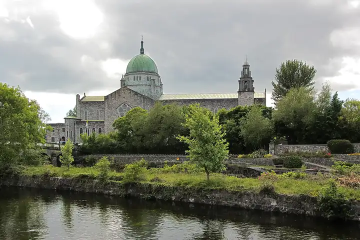
Other sources · Not known “River Corrib and Galway Cathedral, Galway” by Bob Linsdell · Wikimedia Commons · CC BY 3.0 · Changes: resized and re-encoded
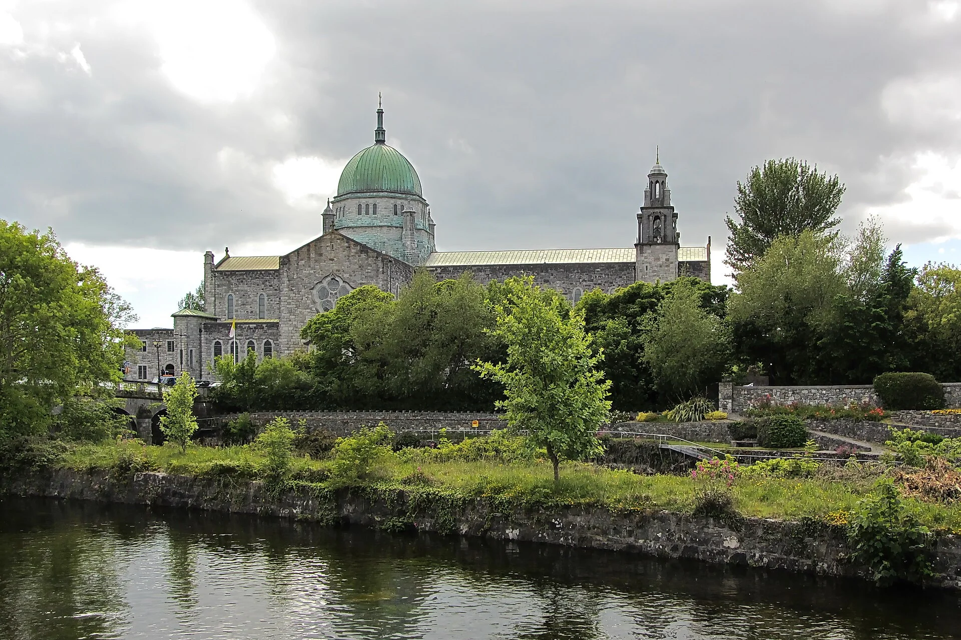

Also nearby, from OpenStreetMap (95)
Not checked by us. Tap a group to open it. © OpenStreetMap contributors
Food & drink (44)
Things to do (4)
Services (41)
Harbours & marinas from OpenStreetMap — access not checked (1)
Locks & bridges (5)
© OpenStreetMap contributors