
Greenfields
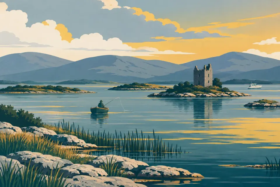
Headford's harbour on the east shore of the upper lake, a famous angling berth with a causeway out to Inchiquin, one of the lake's largest islands.
- Public
- Not yet checked: berths, shore power, water, pump-out, fuel, price and maximum stay
Desk research, not yet checked on site · Position: © OpenStreetMap contributors · Report a change
Moor here
Greenfields harbour
PublicHarbour · open to all boats
Current availability unknown
Report space · Seven-day historyNot yet checked: operator, berths, boat length, shore power, water, pump-out, fuel, price and contact
About this mooring
Small harbour and the main angling berth on the east shore; Fáilte Ireland lists Greenfields among the upper lake's public quays and slipways. No information on visitor berths, power or water.
Report a problem here (power, water, weed, depth)
Anonymous. These reports go privately to our editors and are not shown on the card. To tell other boaters, sign in and use “Report now” or “Report a problem” above. Privacy
No published time limit at the piers
Lough Corrib is not a Waterways Ireland navigation: there is no published time limit at the piers. Anglers and the cruise boats use them too, so keep landing steps and departure berths clear. The navigation, from IWAI Corrib
Today
- Loading today’s conditions…
Forecast, warnings and water levels
Weather and water
Loading the latest conditions…
About Greenfields
Greenfields, about 6.5 km west of Headford, is the town's boating harbour and has long been the most important angling berth on the east shore of the upper lake: in early summer, when the May fly hatches, anglers come here from all over the world. Fáilte Ireland lists it among the upper Corrib's public quays and slipways. A narrow causeway built in the early 1960s runs out across the water to Inchiquin, one of the largest islands on the lake, whose 229 acres supported 14 families in 1909. Local tradition says St Brendan the Navigator built a church on the island. Headford itself is an angling and lace-making town, and the Franciscan friary of Ross Errilly, founded in the mid-14th century and one of the best-preserved medieval monastic ruins in Ireland, is about 2 km from it.
Things to do 2
- Walk
Causeway to Inchiquin
From Greenfields a slender road causeway, laid in the early 1960s, crosses to Inchiquin, among the biggest of the Corrib's islands.
- Heritage
Ross Errilly Friary
The ruined Franciscan friary near Headford, founded in the mid-14th century on the Black River and counted among the best-preserved medieval monastic ruins in Ireland.
Not listed yet: eat & drink and services. Know one? Tell us
Neighbours by water
Show 3 more
≈ distances are computed along the water, not along the marked channel. Times are our estimate: 7.5 km/h and 15 minutes a lock.
Photos
No photos match these filters yet.
Also nearby, from OpenStreetMap (6)
Not checked by us. Tap a group to open it. © OpenStreetMap contributors
Food & drink (1)
Things to do (3)
Services (1)
Harbours & marinas from OpenStreetMap — access not checked (1)
© OpenStreetMap contributors