Coney Island
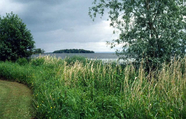
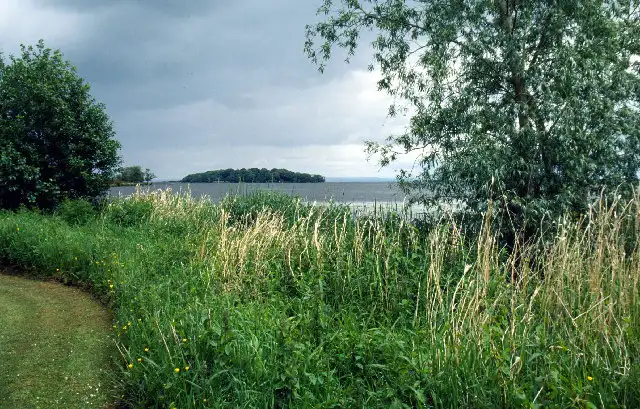
A wooded National Trust island a kilometre off Maghery, once an O'Neill stronghold, where the remains of a 16th-century stone tower still stand.
Desk research, not yet checked on site · Position: © OpenStreetMap contributors · Report a change
Moor here
No mooring details yet.
Today
- Loading today’s conditions…
Forecast, warnings and water levels
Weather and water
Loading the latest conditions…
About Coney Island
Coney Island is about 9 acres of thick woodland in the south-west corner of the lough, between the mouths of the Blackwater and the Upper Bann and roughly a kilometre out from Maghery. Its old Irish name, Inis Dabhaill, means 'island of the Blackwater'; the English one comes from coney, an old word for rabbit. Digs in 1962–64 found traces of prehistoric settlers, an Anglo-Norman castle and an Elizabethan Irish fort. The island was an O'Neill stronghold until it was handed to the Lord Deputy, Sir Henry Sidney, in 1567, and a 16th-century stone tower survives. Lord Charlemont built a summer house here in 1895; since 1946 the island has belonged to the National Trust, and the council manages it on the Trust's behalf. Trips have run at weekends from Maghery and Kinnego; we have no information on landing your own boat.
Things to do
- Walk
Island trails
Paths circle the wooded island past the old tower, with a picnic area; the island has had a resident warden.
Not listed yet: eat & drink and services. Know one? Tell us
Neighbours by water
Show 3 more
≈ distances are computed along the water, not along the marked channel. Times are our estimate: 7.5 km/h and 15 minutes a lock.
Photos 1 photo
No photos match these filters yet.
-
Other sources · Not known “Maghery Country Park” by Stephen McKay · Wikimedia Commons · CC BY-SA 2.0 · Changes: resized and re-encoded