

Maghery
Irish name: An Machaire
A small village at the mouth of the Blackwater, with a council country park, jetties and a slipway, and the shortest crossing to Coney Island.
- Not yet checked
- Not yet checked: berths, shore power, water, pump-out, fuel, price and maximum stay
Desk research, not yet checked on site · Position: © OpenStreetMap contributors · Report a change
Moor here
Maghery Country Park jetties
Not yet checkedPublic jetty · visitor access not yet checked
Current availability unknown
Report space · Seven-day history- Operator
- Armagh City, Banbridge and Craigavon Borough Council
Not yet checked: berths, boat length, shore power, water, pump-out, fuel, price and contact
Not on the map: no checked position yet.
About this mooring
Jetties and a slipway in the council country park at the Blackwater mouth. We have no information on overnight stays or depth.
Report a problem here (power, water, weed, depth)
Anonymous. These reports go privately to our editors and are not shown on the card. To tell other boaters, sign in and use “Report now” or “Report a problem” above. Privacy
Lough Neagh: each harbour sets its own stay limit and fee — ask first
Lough Neagh’s harbours and marinas are run by the councils and clubs around the lough, and each sets its own stay limit and fees: ask the harbour before you stay. (The Lower Bann’s public moorings have no time limit.) Lower Bann and Lough Neagh boater information from Waterways Ireland
Today
- Loading today’s conditions…
Forecast, warnings and water levels
Weather and water
Loading the latest conditions…
About Maghery
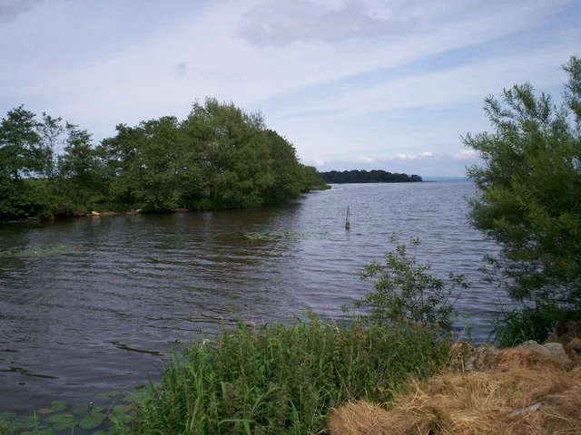
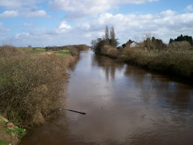
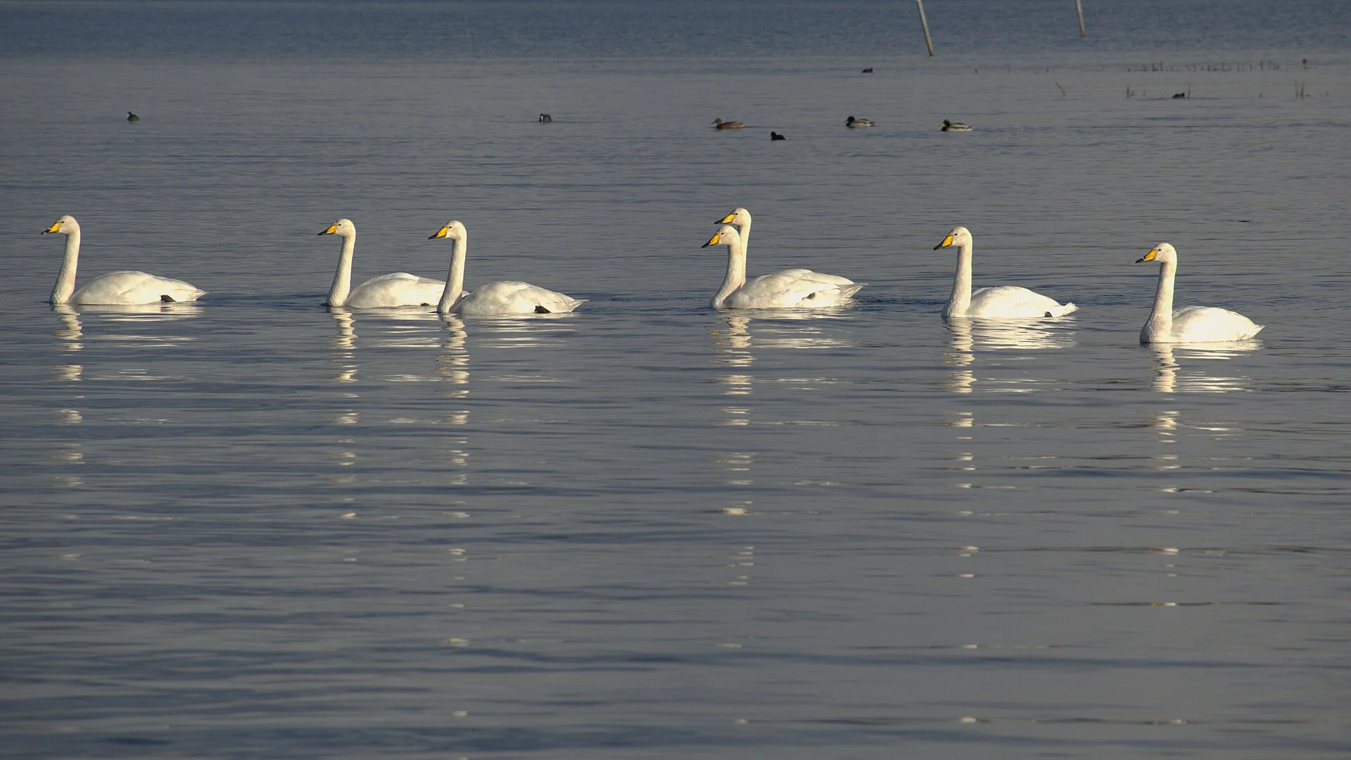
Maghery sits where the River Blackwater flows into the south-west corner of Lough Neagh. Its 30-acre country park, run by Armagh City, Banbridge and Craigavon Borough Council, has jetties, a slipway, toilets and parking, about 5 km of woodland paths and picnic spots, and lies on both the Blackwater and the Lough Neagh canoe trails. Coney Island is about a kilometre offshore. From here boats can head up the Blackwater, but its mouth is silting up: Lough Neagh Partnership raised it with the infrastructure minister in 2026, so go slowly and watch the depth. The Upper Bann enters the lough a little to the east; its entrance is shallow and has no marks, so do not try it without local knowledge. Birdwatchers come for the wintering wildfowl, and the park shore is popular with anglers.
Things to do
- Walk
Maghery Country Park woodland walks
About 5 km of woodland paths and picnic spots along the lough shore and the Blackwater, good for watching wintering wildfowl.
Services
- Toilets
- Slipway
- Parking
Not listed yet: eat & drink. Know one? Tell us
Neighbours by water
Show 3 more
≈ distances are computed along the water, not along the marked channel. Times are our estimate: 7.5 km/h and 15 minutes a lock.
Photos 4 photos
No photos match these filters yet.
-
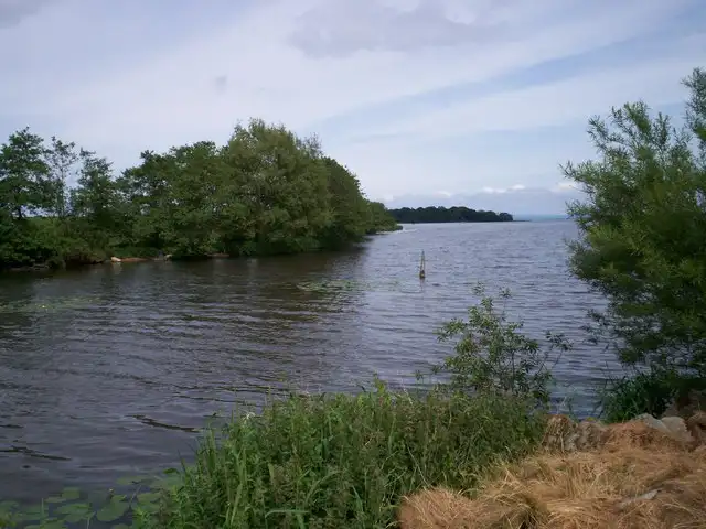
Other sources · Not known “View of Lough Neagh” by P Flannagan · Wikimedia Commons · CC BY-SA 2.0 · Changes: resized and re-encoded -
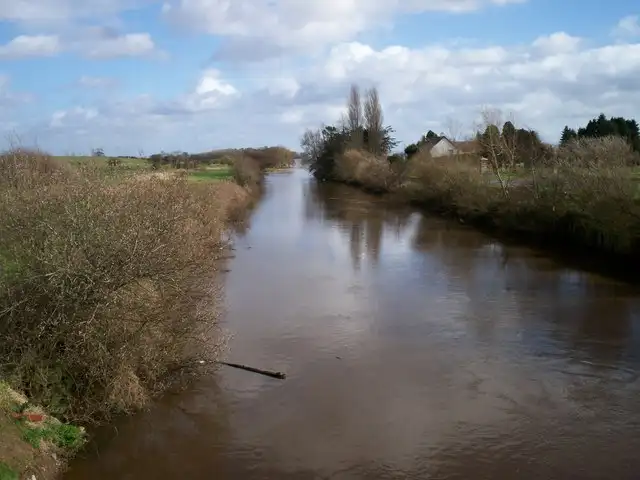
Other sources · Not known “Maghery Canal near Maghery Country Park” by P Flannagan · Wikimedia Commons · CC BY-SA 2.0 · Changes: resized and re-encoded -
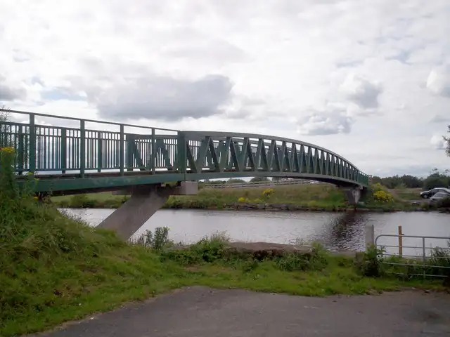
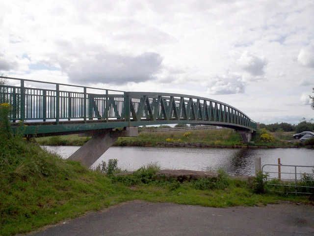
Other sources · Not known “The Ferry Cycle Bridge near Maghery Country Park” by P Flannagan · Wikimedia Commons · CC BY-SA 2.0 · Changes: resized and re-encoded -
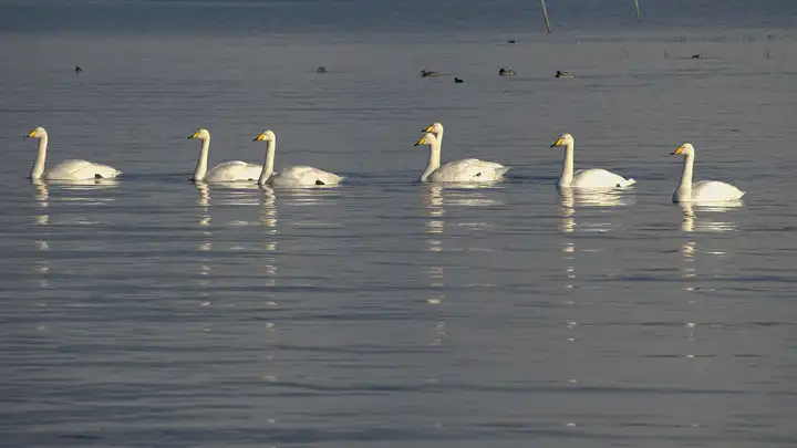
Other sources · Not known “Whooper swans at Maghery” by Limnoporus · Wikimedia Commons · CC BY-SA 4.0 · Changes: resized and re-encoded


Also nearby, from OpenStreetMap (2)
Not checked by us. Tap a group to open it. © OpenStreetMap contributors
Things to do (1)
Services (1)
© OpenStreetMap contributors