

Lanesborough Bridge
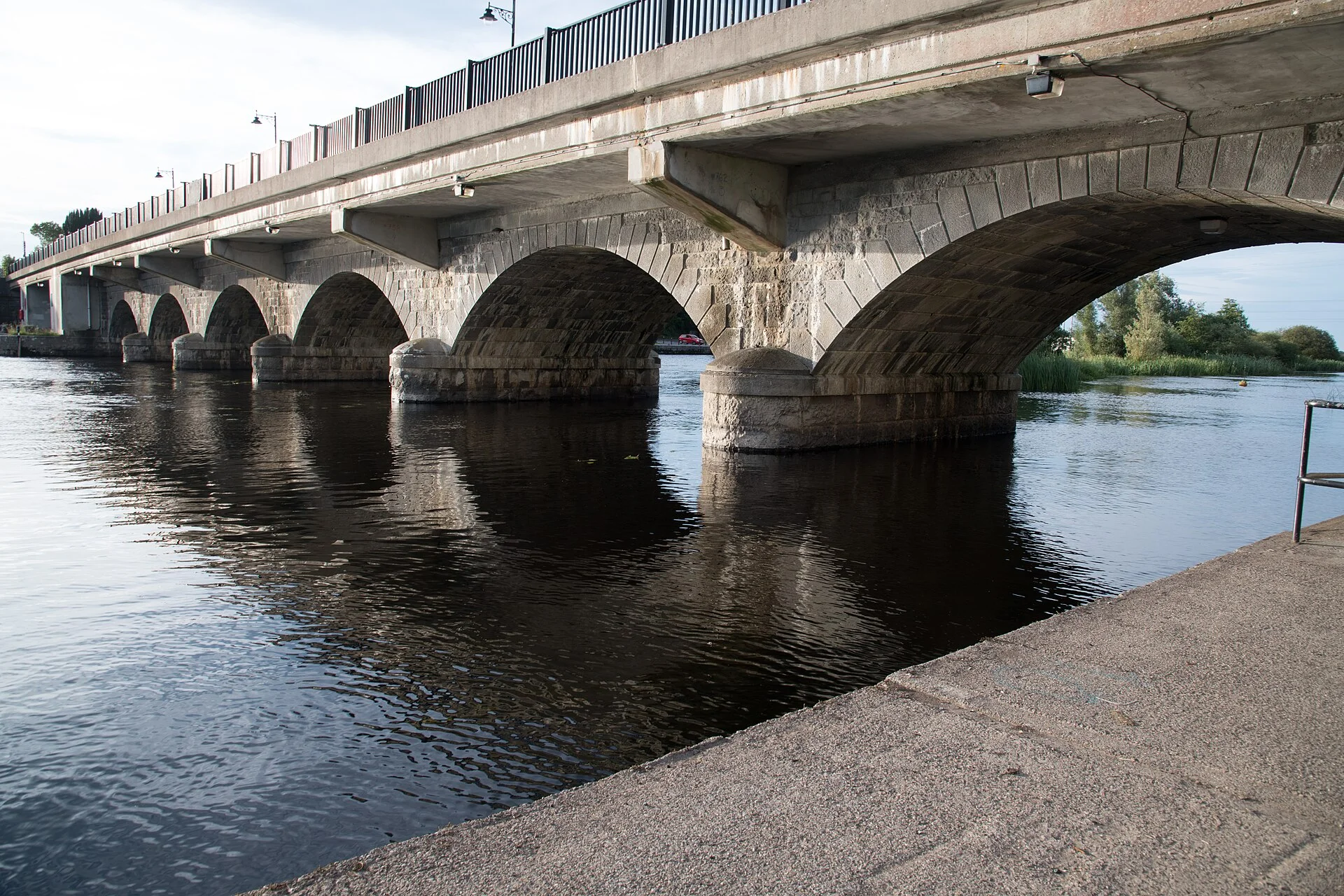
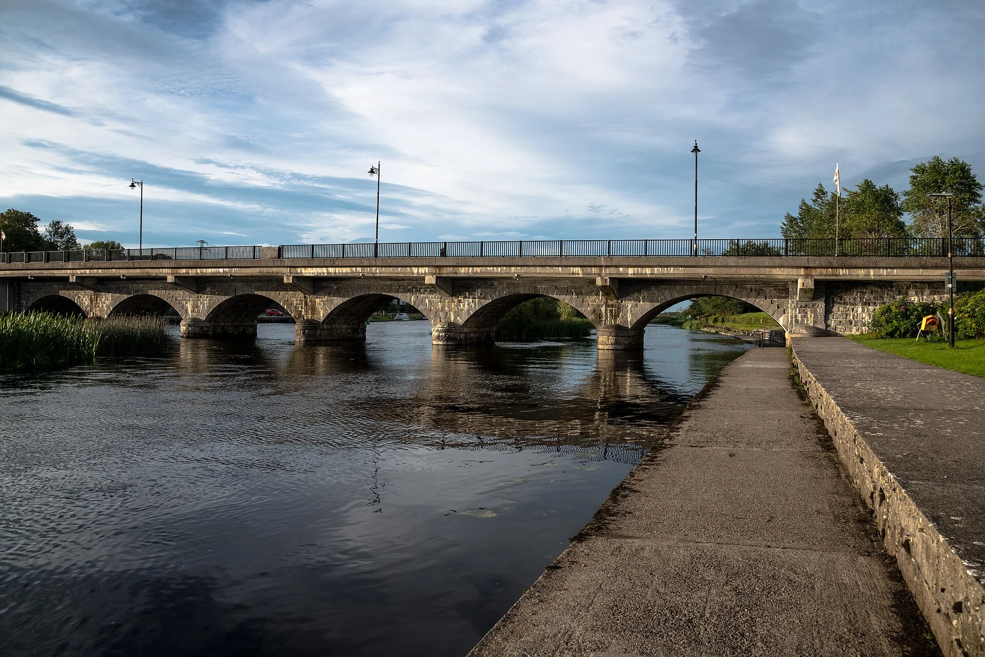
The fixed concrete bridge at the head of Lough Ree between Longford and Roscommon, with 5.25 m of clearance at ordinary summer level.
- Clearance 5.25 m
Desk research, not yet checked on site · Position: © OpenStreetMap contributors · Report a change
Moor here
No mooring details yet.
Today
- Loading today’s conditions…
Forecast, warnings and water levels
Weather and water
Loading the latest conditions…
About Lanesborough Bridge
Lanesborough Bridge carries the N63 between Lanesborough in County Longford and Ballyleague in County Roscommon, just where the Shannon leaves Lough Ree. People crossed here long before any bridge, at the ford of stones that gave the place its Irish name. A stone bridge of nine arches built in 1706 was replaced in 1844 by one with a swivel arch for large boats; the swivel was taken out in the 1960s and the present concrete span followed in 1971, so the bridge no longer opens. Waterways Ireland figures published by the IWAI give 5.25 m of clearance at ordinary summer level and a width of about 12 m. The public harbour is close by on the Roscommon bank; above the bridge the river winds north towards Tarmonbarry.
Not listed yet: eat & drink, things to do and services. Know one? Tell us
Neighbours by water
Show 3 more
≈ distances are computed along the water, not along the marked channel. Times are our estimate: 7.5 km/h and 15 minutes a lock.
Photos 3 photos
No photos match these filters yet.
-
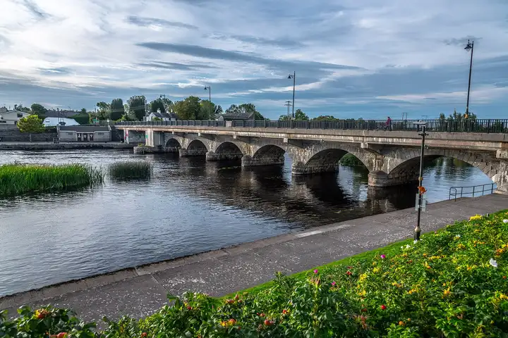
Other sources · Not known “Lanesborough Bridge” by Jonjobaker · Wikimedia Commons · CC BY-SA 4.0 · Changes: resized and re-encoded -
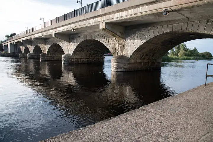
Other sources · Not known “Under the arches of Lanesborough Bridge” by Jonjobaker · Wikimedia Commons · CC BY-SA 4.0 · Changes: resized and re-encoded -
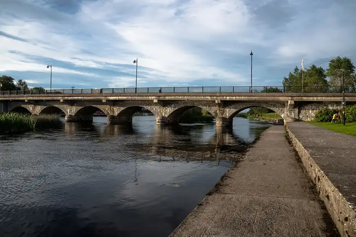
Other sources · Not known “Lanesborough Bridge from the quay” by Jonjobaker · Wikimedia Commons · CC BY-SA 4.0 · Changes: resized and re-encoded
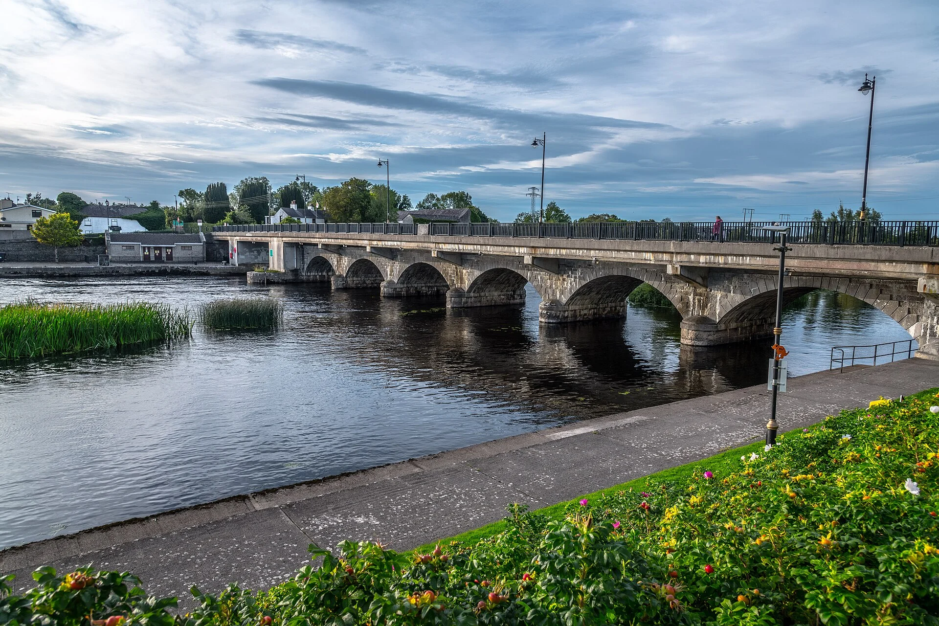


Also nearby, from OpenStreetMap (24)
Not checked by us. Tap a group to open it. © OpenStreetMap contributors
Food & drink (9)
Things to do (1)
Services (13)
Harbours & marinas from OpenStreetMap — access not checked (1)
© OpenStreetMap contributors