Athlone
The town at the foot of Lough Ree, with a council marina and a free public jetty above the weir, a Norman castle on the quay and the pub Guinness World Records called Ireland's oldest.
Photo: Deadstar · CC BY-SA 3.0
The Shannon Lake Ireland
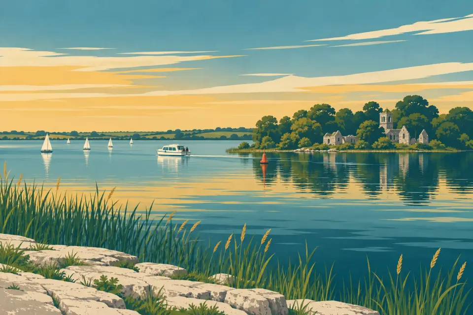
The Shannon's middle lake: almost 30 km of open water and monastic islands between Athlone and Lanesborough, with sheltered inner lakes and most of the marinas at its southern end.
Days and hours are our estimate: 7.5 km/h and 15 minutes a lock, about six hours a day.
Start from a ready-made trip, or plan your own day by day: distances, locks and overnight moorings.
Lough Ree, the 'king's lake', is the second of the Shannon's great lakes, stretching almost 30 km from Athlone to the twin villages of Lanesborough and Ballyleague. Westmeath and Longford share its eastern shore and Roscommon the western one. There are no locks on the lake: the nearest are Athlone Lock, just below the town, and Tarmonbarry, upstream. The busy southern end has Athlone's marina and quays, Lough Ree Yacht Club, founded in 1770, and a cluster of marinas where the sheltered inner lakes open out near Coosan Point and Glasson. Further north the lake widens, and small harbours such as Lecarrow, Portrunny and Barley Harbour sit in quiet bays with little ashore beyond a bar, a playground or a slipway. The islands are the real treasure: Inchcleraun and Inchbofin hold the ruins of early monasteries, and Saints' Island is joined to the shore by a causeway. This is big, open water that turns rough quickly when the wind gets up, so read the Lough Ree forecast before you cross.
21 stops around the lake.
Desk research, not yet checked on site
The town at the foot of Lough Ree, with a council marina and a free public jetty above the weir, a Norman castle on the quay and the pub Guinness World Records called Ireland's oldest.
Photo: Deadstar · CC BY-SA 3.0
The fixed road bridge in the centre of Athlone, built in the 1840s, with 5.29 m of clearance at ordinary summer level.
Photo: William Murphy · CC BY-SA 2.0
Athlone's foot and cycle bridge of 2023 on the Galway–Dublin greenway, with 5.48 m of clearance at ordinary summer level.
The iron railway viaduct of 1851 across the Shannon, known locally as the White Bridge, with 6.36 m of clearance at ordinary summer level.
Photo: Gareth James · CC BY-SA 2.0
The fixed bridge that carries the Athlone bypass over the Shannon, the lowest on this stretch at 5.15 m.
One of the world's oldest sailing clubs, at home in Ballyglass since the early 20th century, with members' jetties on the lake shore just north of Athlone.
A family-run private marina and boatyard on the sheltered inner lakes at Ballykeeran, with a large chandlery, lifting for boats up to 60 ft and its own dry dock.
A public jetty and lakeside park where Athlone's inner lakes meet Lough Ree, and the home of the Lough Ree lifeboat.
Photo: Ian Rob · CC BY-SA 2.0
A family-run private marina on Killinure Point, a Blue Flag holder since 2003, with diesel, a pump-out and a 25-tonne hoist.
A small village near the inner lakes with a reputation for food, and hotel jetties for diners and guests at Wineport Lodge on the shore below.
Photo: Jonathan Wilkins · CC BY-SA 2.0
A sheltered harbour on the Roscommon shore beside the Hodson Bay Hotel, with an inflatable water park, a lakeside golf course and a live water-level gauge.
Photo: Robin Pollard · CC BY 3.0
An island at the southern end of the lake, linked with Saint Ciarán and later with the Lords Castlemaine's lodge; one to admire from the water.
A small, secluded private harbour on the east shore near Glasson, home base of Lough Ree Cruisers' self-drive boats.
An island in the lake's eastern arm with the ruins of two medieval churches on the site of a monastery said to date from about 530.
Photo: David Baird · CC BY-SA 2.0
A Roscommon village at the end of a short 1840s canal, with one of the best-equipped public harbours on the lake and the deserted medieval town of Rindoon nearby.
Photo: Brian Shaw · CC BY-SA 2.0
An island on the Longford shore, joined to the land by a narrow causeway, with the ruined priory where the Annals of All Saints were written.
A small cut-limestone harbour on Elfeet Bay below Newtowncashel, with a slipway, a few points for short stays and the islands close by.
Quaker Island, the great monastic island of Lough Ree, with a cluster of church ruins and Teampall Clogas and its square bell tower on the highest ground.
Photo: AndreasDelp · CC BY-SA 4.0
A sheltered bay on the Roscommon shore with a 24-berth floating jetty, toilets, showers, a pump-out and shore power, a playground and Saint Diarmaid's holy well.
Photo: Peter Wood · CC BY-SA 2.0
Twin villages at the head of Lough Ree, split by the Shannon and by two counties, with a public harbour, a private marina and an accessible boat for island trips.
Photo: Miguel Mendez · CC BY 2.0
The fixed concrete bridge at the head of Lough Ree between Longford and Roscommon, with 5.25 m of clearance at ordinary summer level.
Photo: Jonjobaker · CC BY-SA 4.0
Also on this waterway: Athlone Lock (Middle Shannon & River Suck)
Pump-out, water, fuel, shore power, showers and laundry where a listing says so, in route order. Tap a stop for who runs it and when.
A stop not listed here may still have them: nobody has checked yet. Know better? Report a change
Mooring limits, locks, speed and hazards, in our own words with links to the sources.
A boat may stay at a public harbour or jetty no more than 5 consecutive days, or 7 days in any one month, at the same place (bye-law 17(3)). Waterways Ireland applies this all year unless you book a winter mooring (1 November–31 March, by application), and public moorings have no power or water over the winter. Private marinas set their own rules: phone ahead.
None on the lake. Athlone Lock, just below the town, is worked by a lock-keeper: 2 Smart Card units or €1.50 a passage; from April to September 09:30–19:30 Monday to Saturday and 09:30–18:00 on Sundays, shorter hours in spring, autumn and winter, closed 13:00–14:00 for lunch (+353 90 649 2026; boater information).
Waterways Ireland's prepaid Smart Card runs the pump-outs, showers and shore power at its service blocks. Every boat must be registered with Waterways Ireland (free); only open, undecked boats of 15 hp or less are exempt.
All are fixed. Clearance at ordinary summer level (IWAI, Waterways Ireland figures, March 2025): Athlone bypass 5.15 m, Lanesborough 5.25 m, Athlone Town Bridge 5.29 m, Mary O'Rourke Bridge 5.48 m, Athlone railway bridge 6.36 m. Less in high water.
Waves build fast on this open lake in a strong wind: read Met Éireann's lake forecast and keep to the marked channel. Keep to 5 km/h near bridges, jetties and moored boats. Navigation is prohibited in the Defence Forces firing range, marked by "X" buoys reading "Danger" (Special Marine Notice 1/2026). The RNLI lifeboat is at Coosan Point; in an emergency, dial 112 or 999 and ask for the Coast Guard. Upstream, Tarmonbarry Bridge was closed on 16 October 2026 (Marine Notice 114 of 2026, withdrawn on 23 October without word of a reopening): ask the Tarmonbarry lock-keeper; the detour is the Camlin River and Clondra Canal. Always check the marine notices.
This is a travel guide, not a navigation aid.
Loading the latest conditions…
No locks on this waterway.
No lock or bridge times listed yet.
All lock and bridge times Check the Waterways Ireland marine notices
Hire companies with a base on this waterway.
Ready-made trips that start here or pass through.
Photo: Brian Shaw · CC BY-SA 2.0
Photo: Jonjobaker · CC BY-SA 4.0
Photo: Miguel Mendez · CC BY 2.0
Photo: Jonjobaker · CC BY-SA 4.0
Current Waterways Ireland marine notices for this waterway. The one-line summaries are ours: read the notice itself.
Source: Waterways Ireland · All marine notices on Waterways Ireland
On buz.ie by county: Co. Westmeath (opens buz.ie in a new tab) Co. Longford (opens buz.ie in a new tab) Co. Roscommon (opens buz.ie in a new tab)
Places on the map that are not near one of our stops. Listed on OpenStreetMap, not checked by us. © OpenStreetMap contributors