

Athlone Town Bridge
The fixed road bridge in the centre of Athlone, built in the 1840s, with 5.29 m of clearance at ordinary summer level.
- Clearance 5.29 m
Desk research, not yet checked on site · Position: © OpenStreetMap contributors · Report a change
Moor here
No mooring details yet.
Today
- Loading today’s conditions…
Forecast, warnings and water levels
Weather and water
Loading the latest conditions…
About Athlone Town Bridge
Town Bridge carries the road across the Shannon in the heart of Athlone, a short way above the weir and the lock, all three built by the Shannon Commissioners in the 1840s. Almost every boat passes under it on the way between Athlone Lock and Lough Ree: the castle quay, where Viking Tours board, lies just downstream on the west bank, and the council marina just upstream. It is a fixed bridge. Waterways Ireland figures, published by the IWAI in March 2025, give 5.29 m of clearance at ordinary summer level and a span 12.8 m wide. When the river runs high there is less room, so know your air draft before you approach.
Not listed yet: eat & drink, things to do and services. Know one? Tell us
Neighbours by water
- Mary O'Rourke Bridge
- Athlone Lock Next opening 09:30 (in 5 h 27 min) Middle Shannon & River Suck
- Athlone
≈ distances are computed along the water, not along the marked channel. Times are our estimate: 7.5 km/h and 15 minutes a lock. Check the Waterways Ireland marine notices
Photos 1 photo
No photos match these filters yet.
-
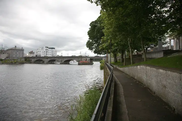
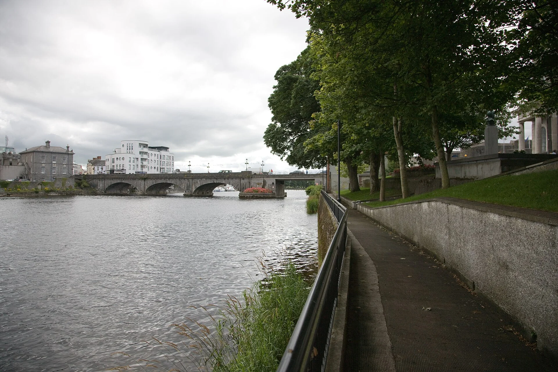
Other sources · Not known “Athlone On The Shannon River” by William Murphy · Wikimedia Commons · CC BY-SA 2.0 · Changes: resized and re-encoded

Also nearby, from OpenStreetMap (39)
Not checked by us. Tap a group to open it. © OpenStreetMap contributors
Food & drink (34)
Things to do (2)
Services (3)
© OpenStreetMap contributors