

Athlone Railway Bridge
The iron railway viaduct of 1851 across the Shannon, known locally as the White Bridge, with 6.36 m of clearance at ordinary summer level.
- Clearance 6.36 m
Desk research, not yet checked on site · Position: © OpenStreetMap contributors · Report a change
Moor here
No mooring details yet.
Today
- Loading today’s conditions…
Forecast, warnings and water levels
Weather and water
Loading the latest conditions…
About Athlone Railway Bridge
The Midland Great Western Railway opened this six-span iron viaduct in 1851, when its line from Dublin reached Athlone on the way to Galway. Designed by G. W. Hemans and about 165 m long, it was an engineering landmark for Ireland: its piers were sunk with the help of compressed air. Locals call it the White Bridge. It once had an opening span for tall sailing craft, but that was fixed in place in 1972. It is now the highest of the Athlone bridges, with 6.36 m of clearance at ordinary summer level according to Waterways Ireland figures published by the IWAI. The free public jetty lies just below it on the west bank.
Not listed yet: eat & drink, things to do and services. Know one? Tell us
Neighbours by water
Show 3 more
- Athlone Lock Next opening Sat, 31 Oct at 09:30 Middle Shannon & River Suck
- Athlone Bypass Bridge
- Lough Ree Yacht Club
≈ distances are computed along the water, not along the marked channel. Times are our estimate: 7.5 km/h and 15 minutes a lock. Check the Waterways Ireland marine notices
Photos 1 photo
No photos match these filters yet.
-
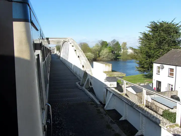
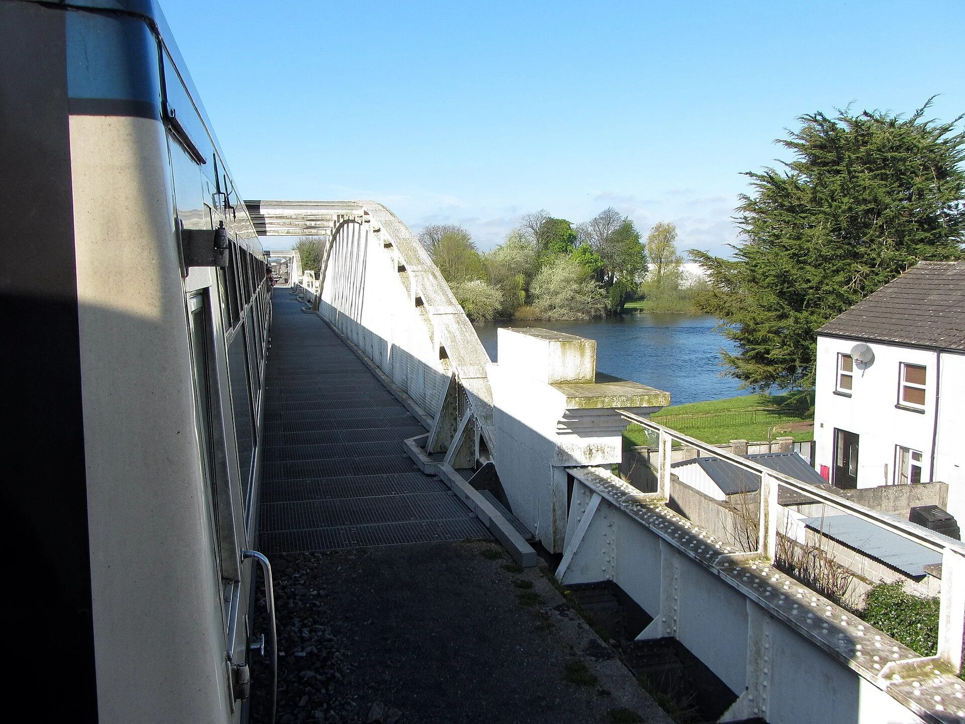
Other sources · Not known “Approaching the Shannon bridge in Athlone” by Gareth James · Wikimedia Commons · CC BY-SA 2.0 · Changes: resized and re-encoded

Also nearby, from OpenStreetMap (10)
Not checked by us. Tap a group to open it. © OpenStreetMap contributors
Food & drink (3)
Services (6)
Harbours & marinas from OpenStreetMap — access not checked (1)
© OpenStreetMap contributors