
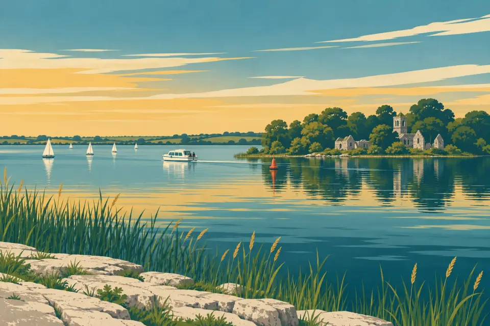
Saints' Island
An island on the Longford shore, joined to the land by a narrow causeway, with the ruined priory where the Annals of All Saints were written.
Desk research, not yet checked on site · Position: © OpenStreetMap contributors · Report a change
Moor here
No mooring details yet.
Today
- Loading today’s conditions…
Forecast, warnings and water levels
Weather and water
Loading the latest conditions…
About Saints' Island
Saints' Island lies on the south-eastern shore of Lough Ree, close to Newtowncashel, and a narrow causeway ties it to the mainland. Its main sight is the ruined Augustinian priory of All Saints in the north-west corner, where the chapel, with Gothic tracery in its windows, is the largest surviving part. Saint Ciarán may have founded a church here before 542, and the annals credit the priory to Sir Henry Dillon, who was granted lands in south Longford, the island included, in 1185. In the 15th century a canon here compiled the Annals of All Saints, of which a fragment covering 1397 to 1407 survives. The priory was dissolved after 1541 and was already a ruin by 1682. The church and burial ground are open to visitors on foot over the causeway, but do not climb the walls. We have no source for a landing place by boat.
Things to do
- Heritage
All Saints priory ruins
Ruins of a medieval Augustinian priory with a chapel of Gothic tracery windows, reached on foot over the causeway.
Website (opens another website)
Not listed yet: eat & drink and services. Know one? Tell us
Neighbours by water
Show 3 more
≈ distances are computed along the water, not along the marked channel. Times are our estimate: 7.5 km/h and 15 minutes a lock.
Photos
No photos match these filters yet.
Also nearby, from OpenStreetMap (1)
Not checked by us. Tap a group to open it. © OpenStreetMap contributors
Things to do (1)
© OpenStreetMap contributors