

Enfield
Irish name: An Bóthar Buí
A railway and canal town in Meath whose harbour is a main greenway access point, with toilets, showers and a slipway.
- Public
- Permit needed
- Not yet checked: berths, shore power, water, pump-out and fuel
Desk research, not yet checked on site · Position: © OpenStreetMap contributors · Report a change
Moor here
Enfield Harbour
PublicHarbour · open to all boats
Current availability unknown
Report space · Seven-day history- Price
- Permit needed
Not yet checked: operator, berths, boat length, shore power, water, pump-out, fuel and contact
About this mooring
Max. stay: Up to 5 days at the same place with a Combined Mooring and Passage permit (canal bye-laws); longer stays need an Extended Mooring permit
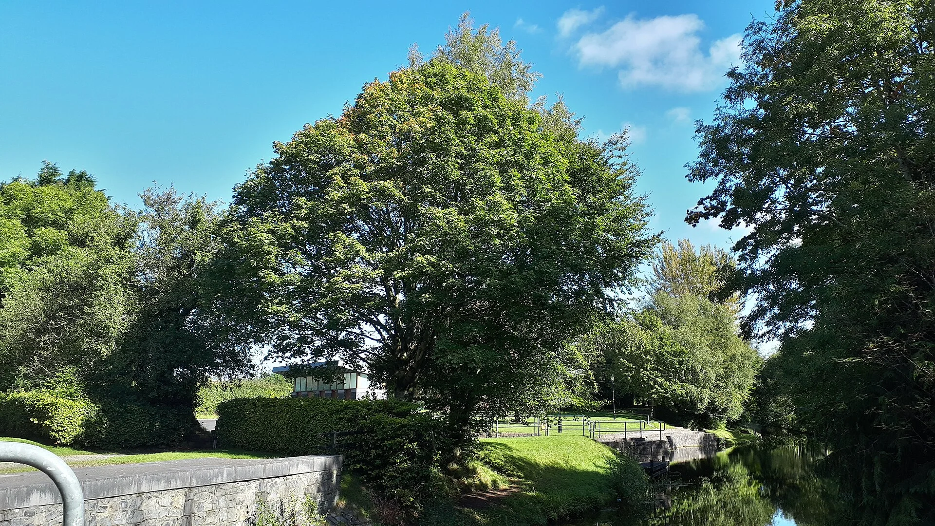
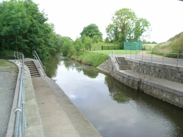
Small harbour on the western side of town beside the amenity park, with a slipway and a service point with toilets and showers.
Report a problem here (power, water, weed, depth)
Anonymous. These reports go privately to our editors and are not shown on the card. To tell other boaters, sign in and use “Report now” or “Report a problem” above. Privacy
Permit needed: up to 5 days at one public mooring
Every boat on the canals and the Barrow needs a Waterways Ireland permit on display. The yearly Combined Mooring and Passage permit allows up to 5 days at any one public mooring; visiting boats can get a free 31-day permit once a year. Permits from Waterways Ireland
Today
- Loading today’s conditions…
Forecast, warnings and water levels
Weather and water
Loading the latest conditions…
About Enfield
Enfield grew where the canal and the Midland Great Western Railway met: once the railway opened, travellers from Dublin came this far by train and changed to the canal boats here. Its Irish name, An Bóthar Buí, the yellow road, recalls the hay that the old cattle markets left on the main street. The harbour lies on the western side of town beside an amenity park, and it is a main access point to the greenway, with free parking, a picnic area and a fairy trail for small children; Waterways Ireland lists toilets, showers and a slipway. The centre, about 450 m away, has cafés, restaurants and supermarkets, and the Famine soup pot in the town is a quiet memorial. Trim Castle, the largest Anglo-Norman castle in Ireland, is about an hour away by bike.
Things to do 3
- Walk
Enfield Fairy Trail
A short trail for young children at the harbour amenity area, next to the picnic tables.
- Heritage
Famine soup pot
A Famine soup pot in the town centre, kept as a memorial to the people of Enfield who suffered, died or emigrated in the Famine of the 1840s.
- Heritage
Trim Castle
The largest Anglo-Norman castle in Ireland, built over 30 years by Hugh de Lacy and his successors; about an hour from Enfield by bike, busy in summer.
Website (opens another website)
Services
- Showers
- Slipway
- Toilets
Not listed yet: eat & drink. Know one? Tell us
Neighbours by water
- Moyvalley
- Ferns Lock (17th Lock) By arrangement
- Longwood Harbour & Boyne Aqueduct
Show 3 more
≈ distances are computed along the water, not along the marked channel. Times are our estimate: 5 km/h and 20 minutes a lock. Check the Waterways Ireland marine notices
Photos 3 photos
No photos match these filters yet.
-
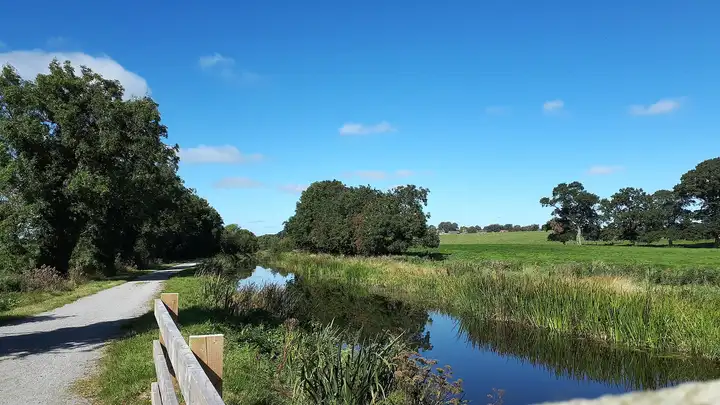
Other sources · Not known “Royal Canal near Enfield” by Scaramanga731 · Wikimedia Commons · CC BY-SA 4.0 · Changes: resized and re-encoded -
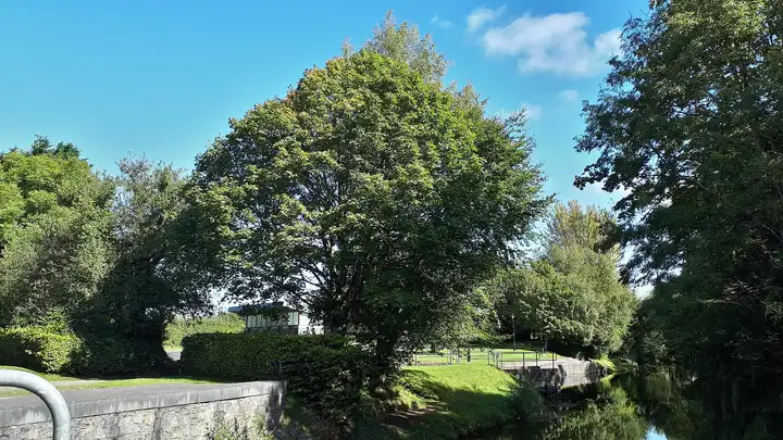
Other sources · Not known “Enfield Harbour” by Scaramanga731 · Wikimedia Commons · CC BY-SA 4.0 · Changes: resized and re-encoded -
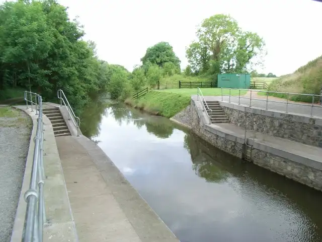
Other sources · Not known “Royal Canal west of Enfield, Co. Meath” by JP · Wikimedia Commons · CC BY-SA 2.0 · Changes: resized and re-encoded
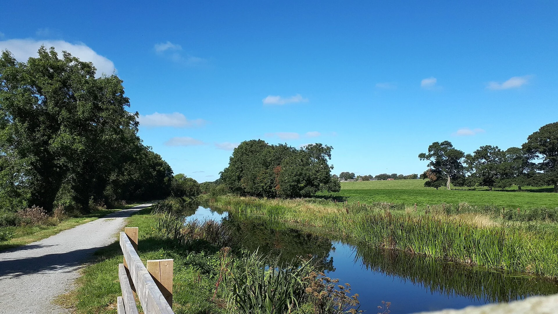


Also nearby, from OpenStreetMap (33)
Not checked by us. Tap a group to open it. © OpenStreetMap contributors
Food & drink (17)
Things to do (3)
Services (12)
Locks & bridges (1)
© OpenStreetMap contributors