

Mullingar
Irish name: An Muileann gCearr
The county town and halfway point of the greenway, on the summit level, with a limestone harbour that is both a blueway hub and one of the best-equipped stops on the canal.
- Public
- Shore power
- Pump-out
- Permit needed
- Not yet checked: berths, water and fuel
Desk research, not yet checked on site · Position: © OpenStreetMap contributors · Report a change
Moor here
Mullingar Harbour
PublicHarbour · open to all boats
Current availability unknown
Report space · Seven-day history- Operator
- Waterways Ireland
- Shore power
- Yes
- Pump-out
- Yes
- Price
- Permit needed
Not yet checked: berths, boat length, water, fuel and contact
About this mooring
Max. stay: Up to 5 days at the same place with a Combined Mooring and Passage permit (canal bye-laws); longer stays need an Extended Mooring permit
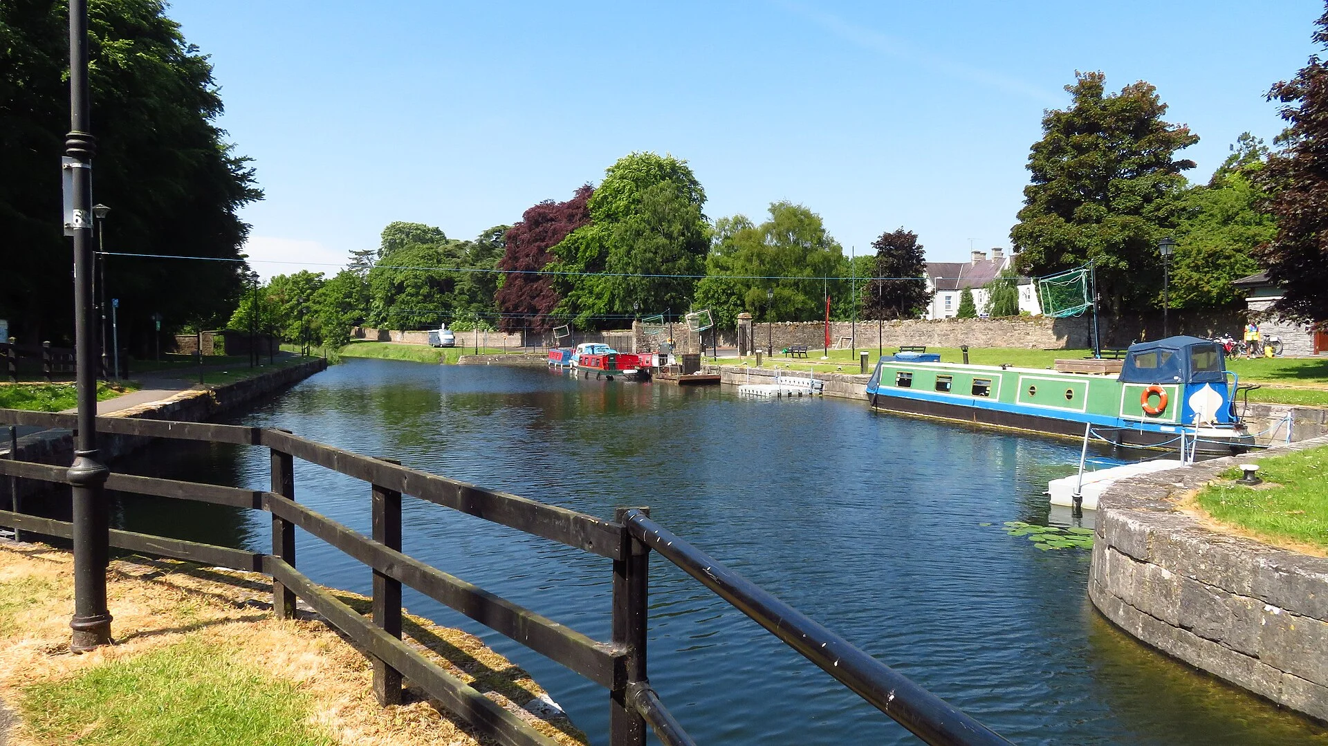
Limestone harbour with toilets, showers, a pump-out, shore power, a slipway and a dry dock for hire; shared with the blueway activity zone and a canoe-polo club.
Report a problem here (power, water, weed, depth)
Anonymous. These reports go privately to our editors and are not shown on the card. To tell other boaters, sign in and use “Report now” or “Report a problem” above. Privacy
Permit needed: up to 5 days at one public mooring
Every boat on the canals and the Barrow needs a Waterways Ireland permit on display. The yearly Combined Mooring and Passage permit allows up to 5 days at any one public mooring; visiting boats can get a free 31-day permit once a year. Permits from Waterways Ireland
From here
1 itinerary
- Itineraries that stop here
- In the guide
Today
- Loading today’s conditions…
Forecast, warnings and water levels
Weather and water
Loading the latest conditions…
About Mullingar
The canal swings in a wide loop around Mullingar, the county town of Westmeath and the halfway point of the Royal Canal Greenway. This is the summit level, between the Killucan flight and Coolnahay, kept supplied by a feeder from Lough Owel that enters the canal here. The limestone harbour has one of the best sets of services on the canal, with toilets, showers, a pump-out, shore power and a slipway, and its old dry dock is open again for hire. Since the Royal Canal Blueway was launched in 2018 the harbour has also been an activity zone and home to Mullingar Harbour Polo Canoe Club, so give paddlers room. Public moorings follow the five-day rule. The town has plenty of pubs and restaurants, the 1930s Cathedral of Christ the King and the Old Rail Trail greenway to Athlone.
Things to do 4
- Attraction
Belvedere House and Gardens
Georgian country house of 1740 near Mullingar with the Jealous Wall folly, walled and fairy gardens and parkland; the house interior is closed for conservation works, the gardens stay open.
Website (opens another website) - Heritage
Cathedral of Christ the King
The cathedral of the Diocese of Meath, built in the 1930s and dedicated on the day the Second World War broke out.
- Cycling
Old Rail Trail greenway
Traffic-free, surfaced trail on a former railway, about 42 km from Mullingar to Athlone and the Shannon.
Website (opens another website) - Attraction
Royal Canal Blueway activity zone
Paddling base in Mullingar Harbour for the 23 km blueway, with changing facilities and showers; paddle west to Ballinea and Coolnahay or east to McNead's Bridge.
Services
- Shore power
- Pump-out
- Showers
- Slipway
- Toilets
Not listed yet: eat & drink. Know one? Tell us
Neighbours by water
Show 3 more
≈ distances are computed along the water, not along the marked channel. Times are our estimate: 5 km/h and 20 minutes a lock.
Photos 4 photos
No photos match these filters yet.
-
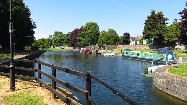
Other sources · Not known “Royal Canal - Mooring area west of Harbour Street, Mullingar” by Colin Park · Wikimedia Commons · CC BY-SA 2.0 · Changes: resized and re-encoded -
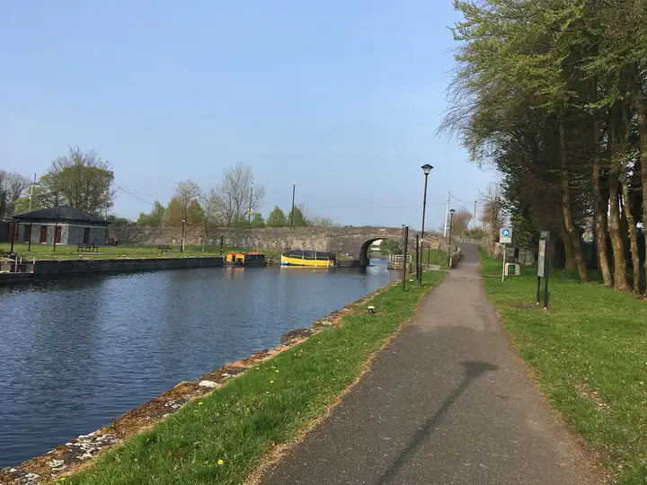
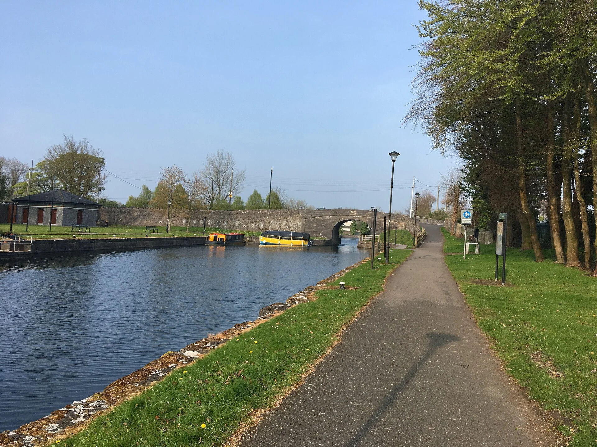
Other sources · Not known “Scanlan's Bridge, Mullingar” by Royalcanalrunner · Wikimedia Commons · CC BY-SA 4.0 · Changes: resized and re-encoded -
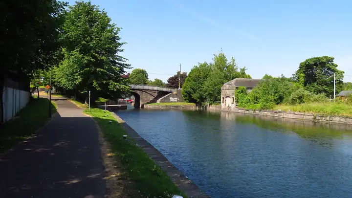
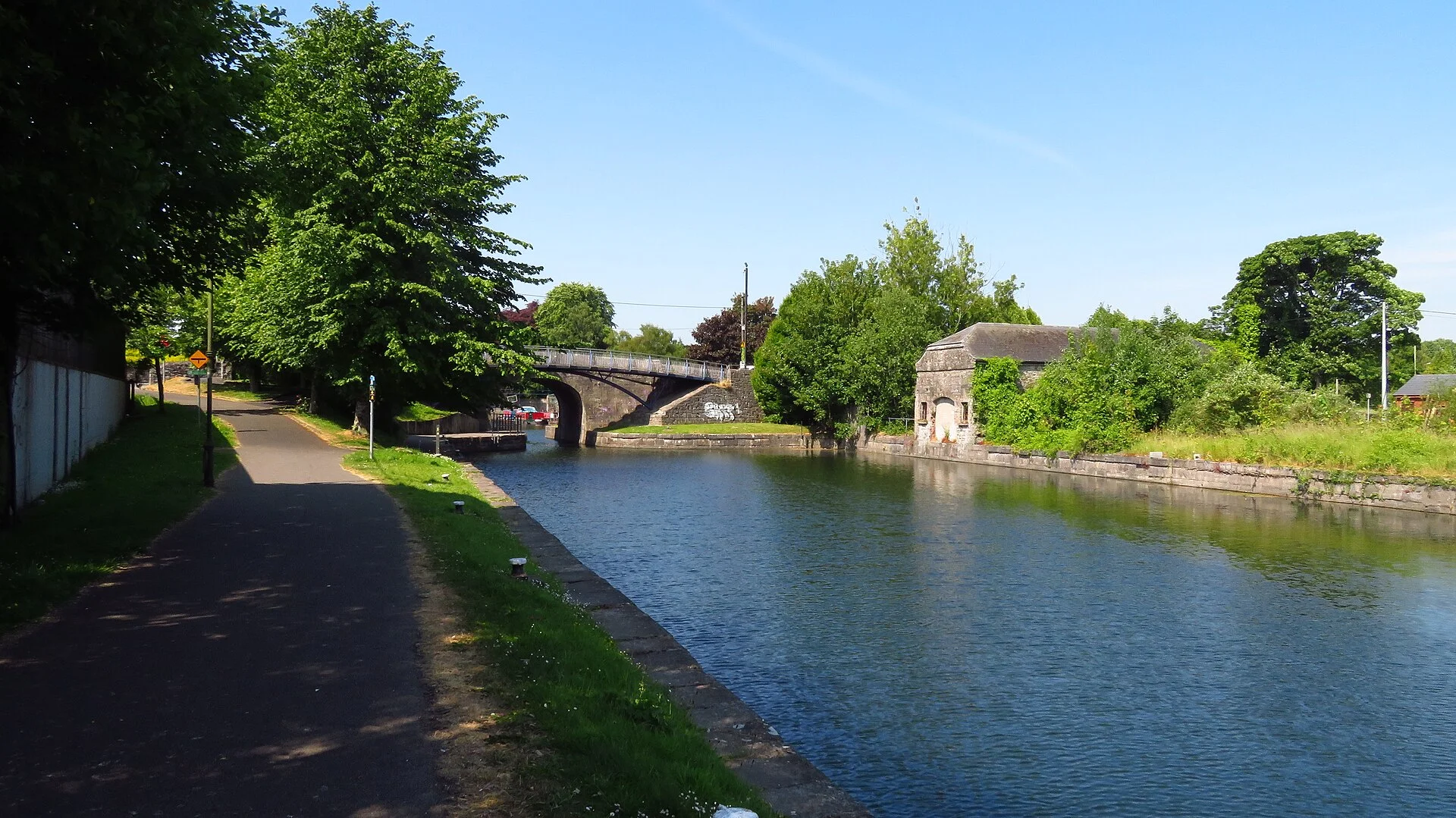
Other sources · Not known “Mullingar - Royal Canal east of Harbour Bridge” by Colin Park · Wikimedia Commons · CC BY-SA 2.0 · Changes: resized and re-encoded -
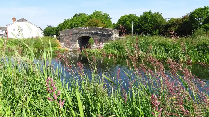
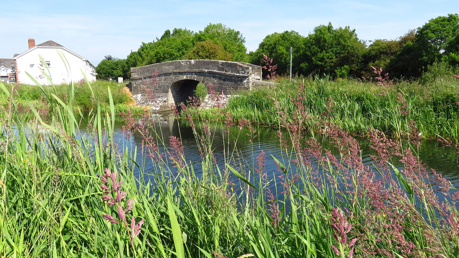
Other sources · Not known “Bridge over Royal Canal Supply feeder at Mullingar” by Colin Park · Wikimedia Commons · CC BY-SA 2.0 · Changes: resized and re-encoded


Also nearby, from OpenStreetMap (117)
Not checked by us. Tap a group to open it. © OpenStreetMap contributors
Food & drink (66)
Things to do (2)
Services (37)
Harbours & marinas from OpenStreetMap — access not checked (1)
Locks & bridges (11)
© OpenStreetMap contributors