
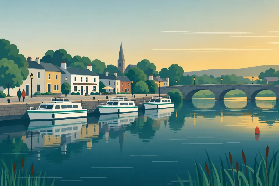
Grange harbour
A small harbour at the western end of Grange Lough in the Carnadoe Waters, as quiet as cruising on this stretch gets.
- Public
- Not yet checked: berths, shore power, water, pump-out, fuel and price
Desk research, not yet checked on site · Position: © OpenStreetMap contributors · Report a change
Moor here
Grange harbour
PublicHarbour · open to all boats
Current availability unknown
Report space · Seven-day historyNot yet checked: operator, berths, boat length, shore power, water, pump-out, fuel, price and contact
About this mooring
Max. stay: Shannon rule: up to 5 days in a row, or 7 days in a month, all year unless you have a winter mooring.
Small public harbour at the western end of Grange Lough; berths and services not yet known.
Report a problem here (power, water, weed, depth)
Anonymous. These reports go privately to our editors and are not shown on the card. To tell other boaters, sign in and use “Report now” or “Report a problem” above. Privacy
Mooring limit: 5 days in a row, 7 days a month
Public moorings on the Shannon Navigation and the Shannon–Erne Waterway: at the same public harbour for at most 5 days in a row, or 7 days in total in any month, all year round. A longer stay in winter (1 November to 31 March) needs a winter mooring from Waterways Ireland. Boater information from Waterways Ireland
Today
- Loading today’s conditions…
Forecast, warnings and water levels
Weather and water
Loading the latest conditions…
About Grange harbour
The small harbour at the western end of Grange Lough, next to Kilglass Lough in the Carnadoe Waters, is about as far from main-river traffic as a cruiser can get between Lanesborough and Carrick. Shannon cruising guides list mooring points on Grange Lough, but we have found no details of berths, depths or services yet, so treat it as a fair-weather stop and come with full water tanks. It is a fine spot for a long lunch among the reed beds, with birdlife and coarse angling all around. Grange is also where the forgotten Rockville Navigation joined the system: a chain of small lakes linked by short canals, probably once used to bring turf down, and today only for canoes and light dinghies, with a short carry along the Grange River. Strokestown and its famine museum are a short drive to the south-west. Boats from Lough Boderg pass under Carranadoe Bridge: 3.93 m at ordinary summer level.
Things to do
- Heritage
Rockville Navigation by canoe
A forgotten chain of small lakes and short canals running north-west from Grange, for canoes and light dinghies only; expect a half-mile carry and shallows on the Grange River.
Not listed yet: eat & drink and services. Know one? Tell us
Neighbours by water
Show 3 more
- Roosky Lock Next opening Sat, 31 Oct at 09:30
- Roosky Bridge Next opening Sat, 31 Oct at 09:30
- Albert Lock Next opening Sat, 31 Oct at 09:30
Straight-line distances: the route by water is longer, sometimes much longer. Check the Waterways Ireland marine notices
Photos
No photos match these filters yet.
Also nearby, from OpenStreetMap (3)
Not checked by us. Tap a group to open it. © OpenStreetMap contributors
Food & drink (1)
Services (2)
© OpenStreetMap contributors