

Jamestown
Irish name: Baile Shéamais
A former walled plantation town with a quay just above the weir, a broken town gate and an award-winning restaurant.
- Public
- Not yet checked: berths, shore power, water, pump-out, fuel and price
Desk research, not yet checked on site · Position: © OpenStreetMap contributors · Report a change
Moor here
Jamestown Quay
PublicQuay wall · open to all boats
Current availability unknown
Report space · Seven-day historyNot yet checked: operator, berths, boat length, shore power, water, pump-out, fuel, price and contact
Position: © OpenStreetMap contributors
About this mooring
Max. stay: Shannon rule: up to 5 days in a row, or 7 days in a month, all year unless you have a winter mooring.
Public village quay above the weir; pubs and the restaurant are a few minutes’ walk away.
Report a problem here (power, water, weed, depth)
Anonymous. These reports go privately to our editors and are not shown on the card. To tell other boaters, sign in and use “Report now” or “Report a problem” above. Privacy
Mooring limit: 5 days in a row, 7 days a month
Public moorings on the Shannon Navigation and the Shannon–Erne Waterway: at the same public harbour for at most 5 days in a row, or 7 days in total in any month, all year round. A longer stay in winter (1 November to 31 March) needs a winter mooring from Waterways Ireland. Boater information from Waterways Ireland
From here
3 itineraries
- Itineraries that stop here
- In the guide
Today
- Loading today’s conditions…
Forecast, warnings and water levels
Weather and water
Loading the latest conditions…
About Jamestown
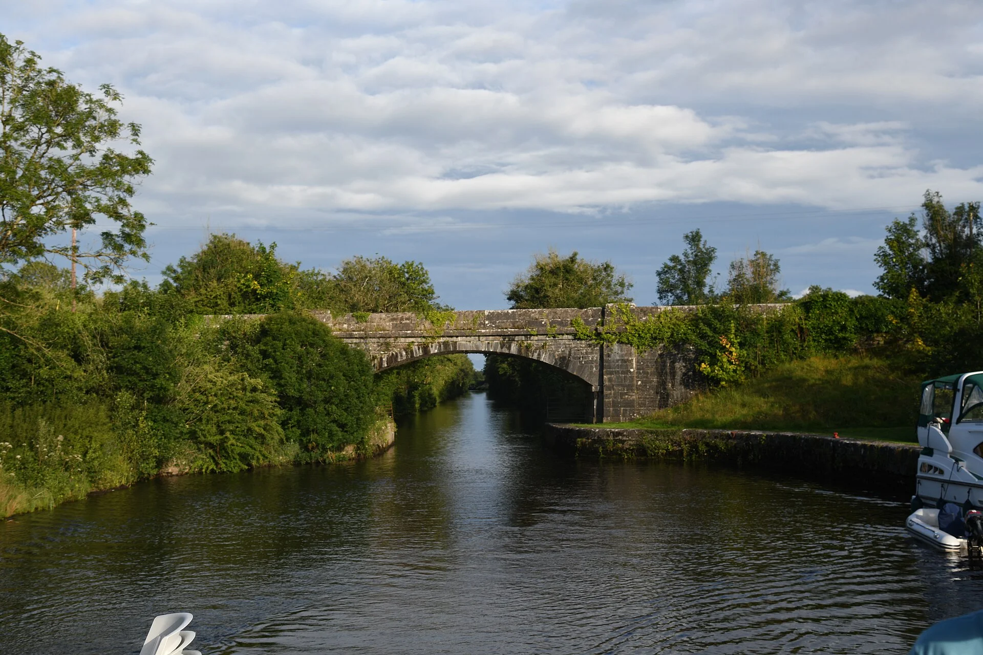
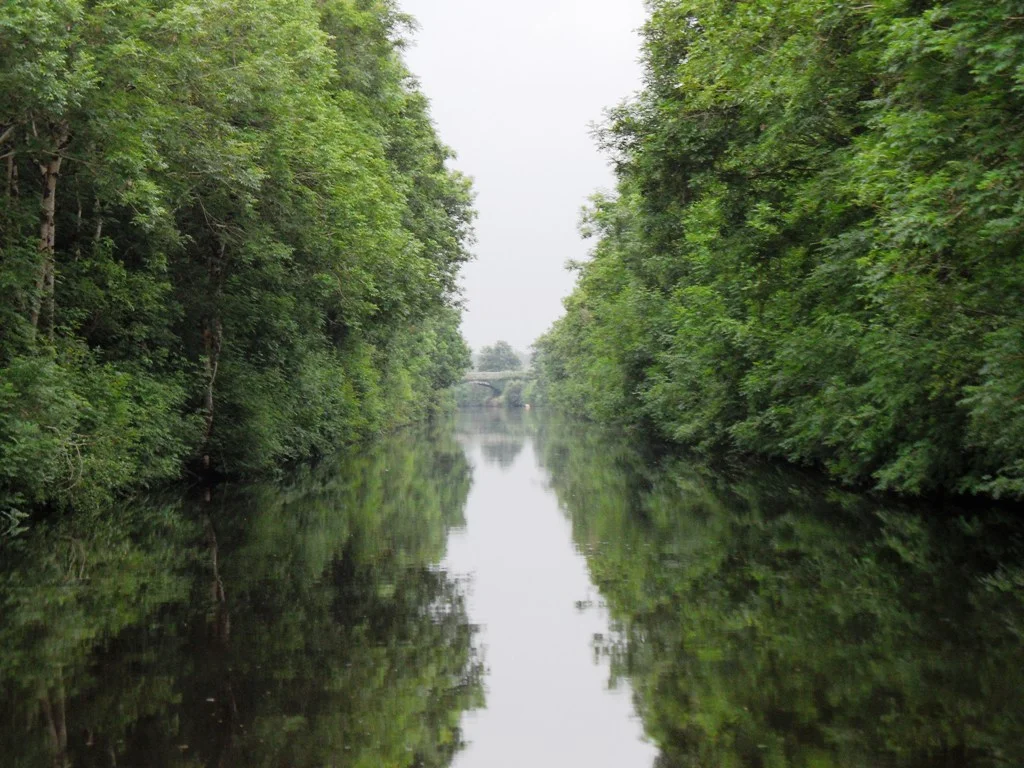
Jamestown was laid out in the early 1620s under a charter from James I as a walled plantation town, with walls said to have been six metres high. Little of them survives, but the old town gate still straddles the road, its top removed after a lorry struck it in the 1970s, and the ruins of a Franciscan friary founded in 1642 lie just beyond it. Boats moor at the village quay. Downstream the river is not navigable for cruisers, so the route continues through the Jamestown Canal and Albert Lock. Waterways Ireland works the sluices below the village to keep the river here at a steady level for boats; in wet spells they are usually all open. The village is small, with two pubs and a church, but The Cottage Restaurant won the overall prize for County Leitrim in the 2026 Irish restaurant awards: book ahead.
Eat & drink
The Cottage Restaurant
Chef Sham Hanifa’s restaurant, overall winner for Leitrim in the 2026 Irish restaurant awards; opening days vary by season, so book.
+353 71 962 5933Things to do 2
- Heritage
Jamestown Arch
The headless old gate of Jamestown, a walled town founded in the 1620s, still straddles the road; at Christmas the community crowns it with a lit outline of the lost top.
- Heritage
Jamestown friary ruins
Through a small gate with a stone cross outside the old town gate lie the ruins of the Franciscan friary of 1642, where a church synod met in 1650.
Not listed yet: services. Know one? Tell us
Neighbours by water
- Albert Lock Next opening 09:30 (in 8 h 32 min)
- Drumsna
- Carrick-on-Shannon
Show 3 more
- Dromod
- Roosky Bridge Next opening 09:30 (in 8 h 32 min)
- Roosky
≈ distances are computed along the water, not along the marked channel. Times are our estimate: 7.5 km/h and 15 minutes a lock. Check the Waterways Ireland marine notices
Photos 2 photos
No photos match these filters yet.
-
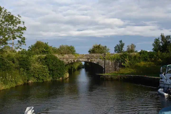
Other sources · Not known “Bridge on the Jamestown Canal at Jamestown” by Jonjobaker · Wikimedia Commons · CC BY-SA 4.0 · Changes: resized and re-encoded -
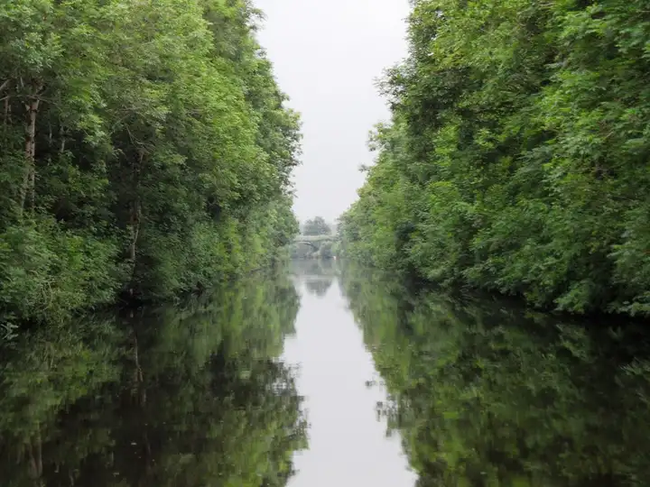
Other sources · Not known “Jamestown Canal, Co. Roscommon” by JP · Wikimedia Commons · CC BY-SA 2.0 · Changes: resized and re-encoded


Also nearby, from OpenStreetMap (1)
Not checked by us. Tap a group to open it. © OpenStreetMap contributors
Locks & bridges (1)
© OpenStreetMap contributors