
Lough Corrib: Oughterard, Inchagoill, Cong and the Joyce Country
Three short days on the upper Corrib from Oughterard: the monastic island of Inchagoill, Cong and Ashford Castle, and the western arm under the Joyce Country hills, or the same lake by cruise boat.
- Nights
- 3
- Distance
- 44 km
- Locks
- 0
- Under way
- 5.8 h
- Route
- Round trip
- Level
- ExperiencedLong days, hand-worked locks or exposed water: for crews who have done it before.
- Boat
- Your own boat
- Best months
- May to September
Change the dates, nights or stops, and see each day’s locks, bridge openings and sunset.
Planning estimate only. Lines are approximate and may cross shallows, rocks or other hazards.
Navigation and responsibility
Navigate with official charts, the navigation marks and a proper marine navigation device. Jetty Hop accepts no responsibility for navigation. Read the full disclaimer
The route
- Start
- 1Night stop
- The route
- Approximate line — not a navigation line
- Oughterard
- 1 Lisloughrey Pier
- 2 Cornamona
Along our planning network, a planning estimate only. Dashed lines are approximate and may cross shallows, rocks or other hazards; no depths are checked. Navigate with official charts, the navigation marks and a marine navigation device. © OpenStreetMap contributors · © Waterways Ireland via EPA (CC BY 4.0, modified)
Estimate, not for navigation · This is a travel guide, not a navigation aid.
Lough Corrib is not connected to any other navigation: no locks, no Waterways Ireland rules and no cruiser hire that we know of, but rocks and shoals lie just under the surface all over the lake. This short loop on the upper lake is for skippers with their own boat, trailed or kept on the Corrib, who are used to reading a chart and the weather; Fáilte Ireland advises newcomers to take a local guide. Each day is only two or so hours on the water, leaving time for the island churches of Inchagoill, Cong's abbey and the Irish-speaking villages of the Joyce Country. No boat? In summer the cruise boats from Oughterard and Cong cover much of the same water, with time ashore on Inchagoill (see "Before you go").
Good to know: This is a travel guide, not a navigation aid. Distances come from our OpenStreetMap route network and every leg is an approximate lake crossing, not a marked channel; times are estimates at 7.5 km/h.
Day by day
Day 1 Night 1
Oughterard → Lisloughrey Pier (Cong)
14.5 km No locks 1.9 h under way
Oughterard's lake pier lies about 2 km from the town square; Corrib Cruises sail from it in summer, so leave their berth clear. Head north across the upper lake to Inchagoill, a wooded island halfway to Cong whose early church site is a National Monument. A flagged path links Teampall Phádraig with Teampall na Naoimh and its carved 12th-century doorway, and the Lugnaedon pillar stone is often called the oldest Latin-alphabet inscription in Ireland. We have no information on landing private boats, so ask locally before you go alongside. Then on to Lisloughrey Pier, given a floating pontoon and new slipway in 2023; keep clear of the cruise boat at 11:15 and, in summer, 15:00.
Open water today: read the lake forecast before you set off, and stay in harbour if the wind is strong. Warnings and lake forecasts
Lisloughrey Pier: moorings
- Lisloughrey Pier Public Floating jetty · open to all boats
Day 2 Night 2
Lisloughrey Pier → Cornamona
13 km No locks 1.7 h under way
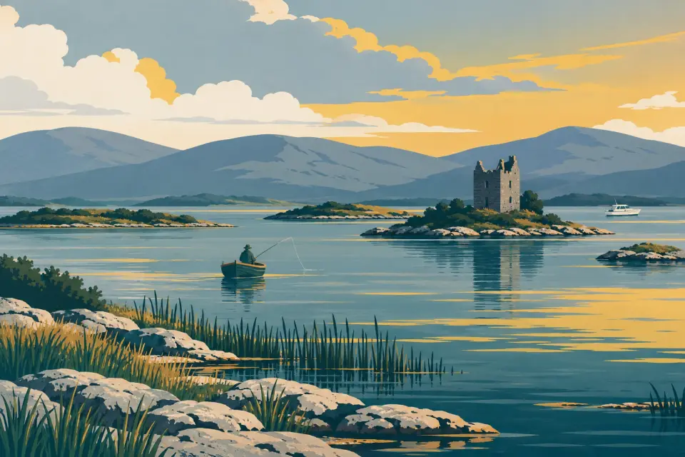
Walk the 1.3 km into Cong for the morning. The abbey was refounded for Augustinian canons in 1138 by the High King Turlough Mór O'Connor, and beside the river stands the little Monks' Fishing House. Much of The Quiet Man (1952) was shot on the Ashford Castle estate, a hotel since 1939; its pier belongs to the hotel, so come by road. After lunch, cruise west under the hills to the bay below Cornamona, an Irish-speaking village with a public pier, a shop and a pub. The pier is about 2 km up the Cornamona River, which OpenStreetMap marks as closed to boats; our distance ends at the river mouth, so ask locally about the depth before you go up. This is remote, rock-strewn water far from help: keep to the marks and arrive in good time.
Open water today: read the lake forecast before you set off, and stay in harbour if the wind is strong. Warnings and lake forecasts
Cornamona: moorings
- Cornamona pier Public Quay wall · open to all boats
Day 3 Night 3
Cornamona → Oughterard
16.3 km No locks 2.2 h under way
West of Cornamona the long arm runs on to the head of the lake below Maam, past Hen's Castle, a medieval tower house on a half-acre island. By our estimate that is about 17.5 km each way from Cornamona's bay, and the slipway at Maam Bridge lies another 1.6 km up the Bealnabrack River, so it is not part of this plan. Head back east and south across the upper lake to Oughterard. The town is known as the Corrib's chief angling centre, holds a four-day fishing festival every May and fills up with anglers when the mayfly hatches; the brown trout season runs from 15 February to 30 September. In the afternoon visit Aughnanure Castle, the O'Flahertys' tower house on a rock above the Drimneen River, 3.5 km away off the Galway road, with guided tours (adult €5 in 2026) from late February to mid-November.
Open water today: read the lake forecast before you set off, and stay in harbour if the wind is strong. Warnings and lake forecasts
Oughterard: moorings
- Oughterard Pier Public Quay wall · open to all boats
Before you go
- Who runs the lake. The Corrib is not a Waterways Ireland navigation, so no Smart Card, lock key or five-day rule applies and no time limit is published at the piers. The Lough Corrib Navigation Trustees, run through Galway City Council, look after the marks and some piers (IWAI Corrib). Anglers and cruise boats share the piers: keep steps and departure berths clear. We have no depth or service details for any of the piers on this route.
- Marks. Since 2015 the lake has been moving to IALA Region A in five phases: red cans to port and green cones to starboard in the direction of buoyage. Under the old system red marks were kept to starboard heading north, and GPS charts made before the change can lead you onto rocks (IWAI Corrib notice, November 2015).
- Weather. The upper lake is open water. Read Met Éireann's inland lakes forecast for Lough Corrib and Lough Mask and the warnings on Today on the water every morning, and stay in harbour if in doubt.
- Rules. Personal watercraft are banned on the lake. Clean your hull and trailer before and after: curly-leaved waterweed and zebra mussels travel on boats (IWAI Corrib: invasive species).
- Without a boat. In 2026 Corrib Cruises sailed from Oughterard pier at noon on Wednesdays, Thursdays and at weekends from mid-June, calling at Inchagoill on the way to Cong and back; from Lisloughrey Pier there was a one-hour history cruise every morning at 11:15 and, from June to September, a two-hour cruise at 15:00 with a guided walk on Inchagoill. Check the 2027 times with the operator.
- From Galway. Starting at Woodquay in Galway adds about 5.7 hours each way to Oughterard by our estimate; Knockferry pier, at the narrows between the lower and upper lake, splits the run. The river passes under the Quincentenary Bridge, whose headroom has not been published.
- Help. In an emergency dial 112 or 999 and ask for the Coast Guard.
- Marine notices. Waterways Ireland's marine notices do not cover the Corrib; the IWAI Corrib branch publishes local news.
Hire companies
This trip is written for your own boat, so no hire company is linked to it. All hire companies
Our marketplace No boat yet? Boats for sale
Weather and timing
Distances and times are estimates for planning, not for navigation. On the big lakes the wind matters more than the distance: read the forecast every morning and stay in harbour when it blows. Lock and bridge hours change with the season.
Today’s warnings and lake forecasts Met Éireann inland lakes forecast Lock & bridge times
This is a travel guide, not a navigation aid. Always use official charts and Waterways Ireland marine notices.