

Ballyconnell
Irish name: Béal Átha Conaill
A lively Cavan town on the Woodford River under Slieve Rushen, with a fully serviced marina, good pubs and the Slieve Russell golf resort nearby.
- Public
- Shore power
- Pump-out
- Not yet checked: berths, water, fuel and price
Desk research, not yet checked on site · Position: © OpenStreetMap contributors · Report a change
Moor here
Ballyconnell Marina
PublicMarina · open to all boats
Current availability unknown
Report space · Seven-day history- Shore power
- Yes
- Pump-out
- Yes
Not yet checked: operator, berths, boat length, water, fuel, price and contact
About this mooring
Max. stay: Up to 5 days in a row or 7 days in a month, all year unless you have a winter mooring
Public marina a short walk from the main street, with every service the waterway offers, shore power included.
Report a problem here (power, water, weed, depth)
Anonymous. These reports go privately to our editors and are not shown on the card. To tell other boaters, sign in and use “Report now” or “Report a problem” above. Privacy
Mooring limit: 5 days in a row, 7 days a month
Public moorings on the Shannon Navigation and the Shannon–Erne Waterway: at the same public harbour for at most 5 days in a row, or 7 days in total in any month, all year round. A longer stay in winter (1 November to 31 March) needs a winter mooring from Waterways Ireland. Boater information from Waterways Ireland
From here
1 itinerary
- Itineraries that stop here
- In the guide
Today
- Loading today’s conditions…
Forecast, warnings and water levels
Weather and water
Loading the latest conditions…
About Ballyconnell
Ballyconnell grew up at a ford on the Woodford River, the old River Gráinne, at the foot of Slieve Rushen, and the waterway still runs right past the town, a mile from the border with Fermanagh. The marina has the full set of services, from shore power and a pump-out to showers, laundry and a slipway. In town, the family-run Angler’s Rest serves hearty pub food seven days a week, and Café Realta does breakfasts, burgers and sandwiches at budget prices. The four-star Slieve Russell Hotel, with a championship golf course and spa on a 300-acre estate, is a five-minute drive away. A 5 km loop from the marina leads through the oak and beech of Annagh Lough Woods, once part of the Ballyconnell demesne.
Eat & drink 2
Café Realta
Busy local café for all-day breakfasts, burgers, salads and sandwiches, with most dishes under €10.
The Angler’s Rest
Family-run pub with rooms, a small front bar and a bigger dining room at the back; steaks, fish and chips and other hearty dishes, seven days a week.
+353 49 952 6391 theanglersrest.eu (opens another website)Things to do 2
- Walk
Ballyconnell Loop and Annagh Lough Woods
A loop of about 4.5–5 km from the marina along the Woodford River and through the oak, ash and beech of Annagh Lough Woods, part of the old Ballyconnell demesne.
- Attraction
Slieve Russell golf course
An 18-hole championship course and a 9-hole academy course on the Slieve Russell estate, open to visiting golfers.
Website (opens another website)
Services
- Shore power
- Laundry
- Pump-out
- Showers
- Slipway
- Toilets
Pump-outs, showers and shore power at Waterways Ireland harbours are paid with a Waterways Ireland Smart Card. About the Smart Card
Slieve Russell Hotel
Four-star golf and spa hotel on a 300-acre estate with its own lakes, a five-minute drive from the marina.
slieverussell.ie (opens another website)Neighbours by water
- Ballyconnell Lock Open now · closes 20:00
- Corraquill Lock Open now · closes 20:00
- Skelan Lock Open now · closes 20:00
Show 3 more
- Aghalane
- Haughton’s Shore
- Aghoo Lock Open now · closes 20:00
≈ distances are computed along the water, not along the marked channel. Times are our estimate: 5 km/h and 20 minutes a lock. Check the Waterways Ireland marine notices
Photos 3 photos
No photos match these filters yet.
-
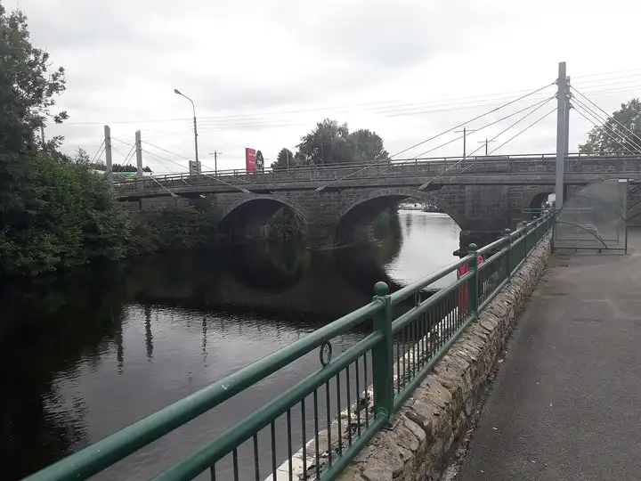
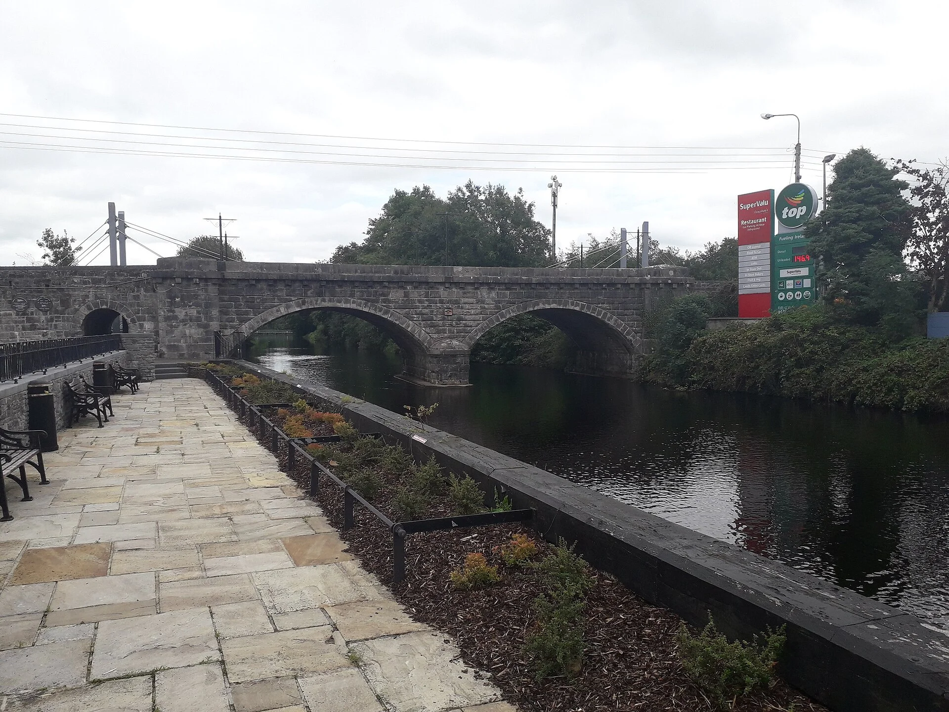
Other sources · Not known “Ballyconnell Bridge over the Woodford River” by Deadstar · Wikimedia Commons · CC BY-SA 4.0 · Changes: resized and re-encoded -
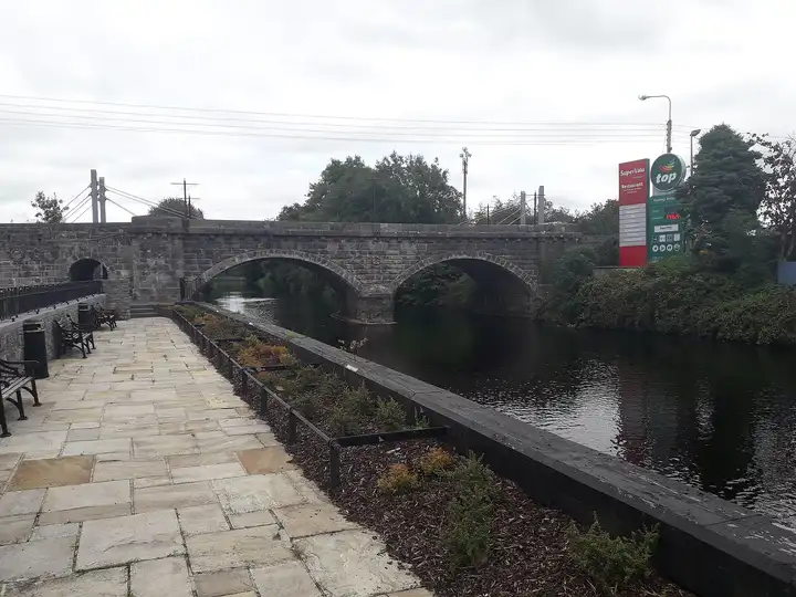
Other sources · Not known “Riverside walk at Ballyconnell” by Deadstar · Wikimedia Commons · CC BY-SA 4.0 · Changes: resized and re-encoded -
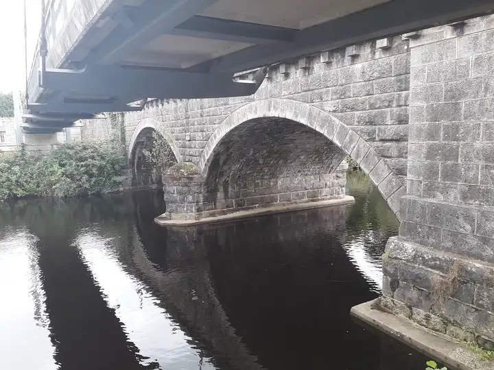
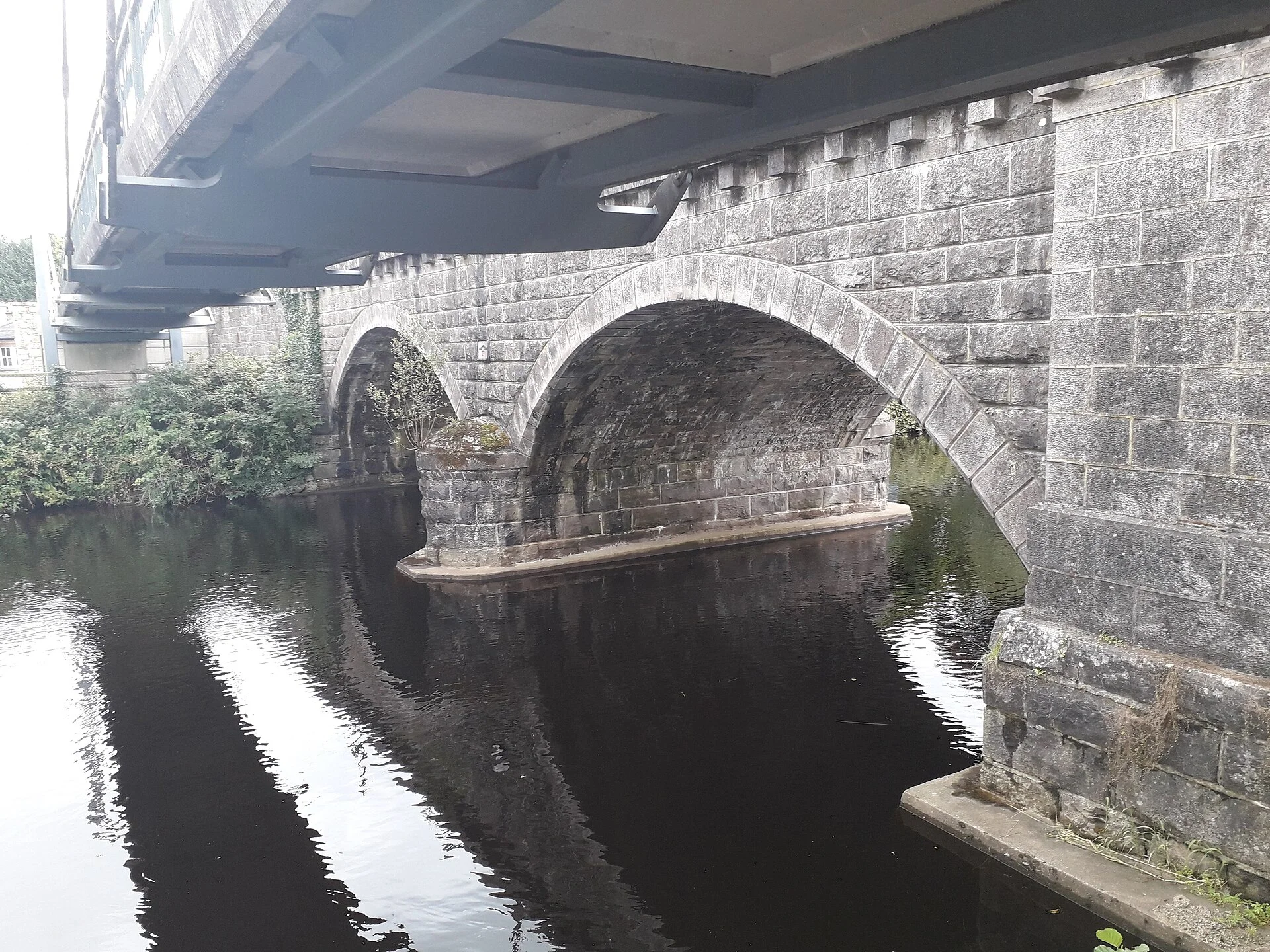
Other sources · Not known “Under Ballyconnell Bridge” by Deadstar · Wikimedia Commons · CC BY-SA 4.0 · Changes: resized and re-encoded
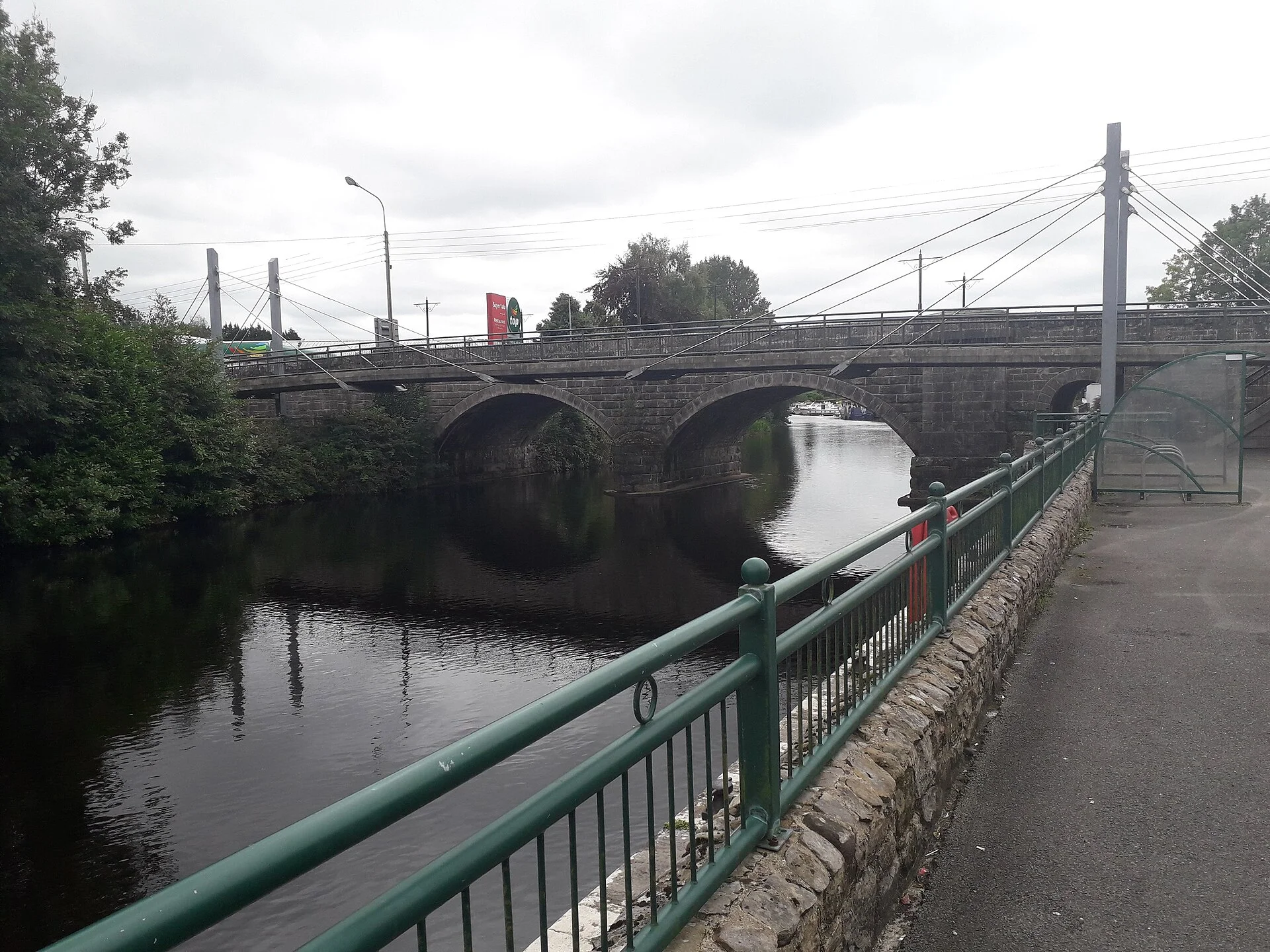


Also nearby, from OpenStreetMap (27)
Not checked by us. Tap a group to open it. © OpenStreetMap contributors
Food & drink (13)
Services (8)
Harbours & marinas from OpenStreetMap — access not checked (3)
Locks & bridges (3)
© OpenStreetMap contributors