
Bellanaleck short break: Upper Lough Erne, Crom and Belturbet
Four lock-free nights from Carrickcraft's Bellanaleck base among the islands of Upper Lough Erne, with the National Trust's Crom estate, Galloon Island and the river town of Belturbet.
- Nights
- 4
- Distance
- 88 km
- Locks
- 0
- Under way
- 11.7 h
- Route
- Round trip
- Level
- EasyShort days on sheltered water: good for a first trip.
- Boat
- Hire boat
- Best months
- April to October
Change the dates, nights or stops, and see each day’s locks, bridge openings and sunset.
Planning estimate only. Lines are approximate and may cross shallows, rocks or other hazards.
Navigation and responsibility
Navigate with official charts, the navigation marks and a proper marine navigation device. Jetty Hop accepts no responsibility for navigation. Read the full disclaimer
The route
- Start
- 1Night stop
- The route
- Approximate line — not a navigation line
- Bellanaleck
- 1 Knockninny
- 2 Belturbet
- 3 Crom
Along our planning network, a planning estimate only. Dashed lines are approximate and may cross shallows, rocks or other hazards; no depths are checked. Navigate with official charts, the navigation marks and a marine navigation device. © OpenStreetMap contributors · © Waterways Ireland via EPA (CC BY 4.0, modified)
Estimate, not for navigation · This is a travel guide, not a navigation aid.
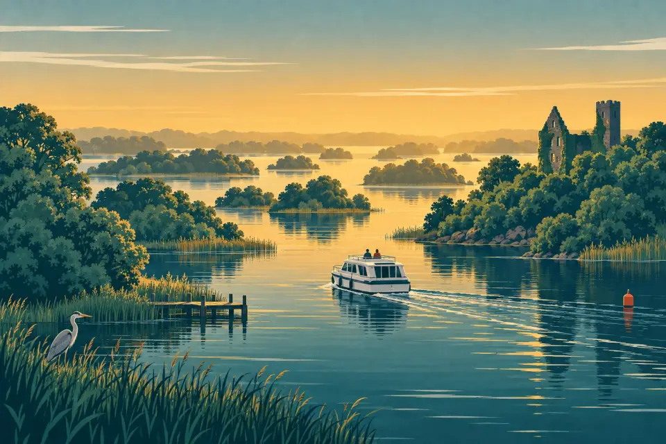
A short break for first-time hirers, families and anyone with three or four nights who wants the Erne without its open water. Upper Lough Erne is a sheltered maze of wooded islands, reedy bays and channels that often feel more like a slow river than a lake, and there is not a single lock between Bellanaleck and Belturbet. The days are short, several public jetties have toilets and showers, and the highlights are ashore: the woods and castle ruins of the National Trust's Crom estate, the weathered high crosses on Galloon Island and the old river town of Belturbet at the southern end. With only three nights, leave out Belturbet (see "Before you go").
Good to know: This is a travel guide, not a navigation aid. Distances come from our OpenStreetMap route network and the lake crossings are approximate; times are estimates at 7.5 km/h.
Day by day
Day 1 Night 1
Bellanaleck → Knockninny
13.5 km No locks 1.8 h under way
Carrickcraft's Erne base is at The Moorings on the Derrylin Road, beside public moorings with toilets, showers and a pump-out and The Moorings Restaurant on the shore, so if the handover runs late you can stay the night. Otherwise head south into the lough, passing close to Belle Isle, the private estate island where the Annals of Ulster were compiled in the late 15th century (no public landing). Knockninny, under the hill named after the sixth-century St Ninnidh, has a public quay with toilets, showers and one of the Upper Lough's few pump-outs, but no shore power. We could not confirm that the country house next door still serves meals, so bring dinner.
Open water today: read the lake forecast before you set off, and stay in harbour if the wind is strong. Warnings and lake forecasts
Knockninny: moorings
- Knockninny public quay Public Quay wall · open to all boats
Day 2 Night 2
Knockninny → Belturbet
24.9 km No locks 3.3 h under way
More open water today, so read the forecast first. South-east of Knockninny lies Inish Rath, the Krishna island: its Hare Krishna community welcomes visitors at the quay, but it is private land and a place of worship, so ring ahead (+44 7548 311916) and leave meat, cigarettes and alcohol on board. Past the Crom shore the lough narrows into the River Erne and crosses from Fermanagh into County Cavan. Belturbet has public riverside moorings below the town, with parking alongside and public toilets a short walk away; a jetty with power bollards and a service block was added in 2023. Belturbet uses the euro; the Fermanagh shore you have just left uses sterling.
Open water today: read the lake forecast before you set off, and stay in harbour if the wind is strong. Warnings and lake forecasts
Day 3 Night 3
Belturbet → Crom
20.5 km No locks 2.7 h under way
Spend the morning in town. The cut-stone railway station of 1885, once the end of the narrow-gauge Cavan & Leitrim line, is a heritage museum on Friday to Sunday afternoons, and Turbet Island across the river has walking trails and the mound of an early 13th-century Anglo-Norman motte. Then head back down the Erne to Galloon Island, whose public jetty has toilets, showers and a pump-out; in the old graveyard two carved shafts survive of the four high crosses that once stood there. From Galloon, cross over to Crom, where the public jetty lies close to the National Trust visitor centre. Arrive in time to walk the estate before it closes.
Day 4 Night 4
Crom → Bellanaleck
29.1 km No locks 3.9 h under way
Crom is some 2,000 acres of ancient woodland, parkland and islands, home to pine martens, red squirrels, deer and all eight native bat species; in 2026 the BBC based Springwatch here. The estate charges admission, boaters included, and the tea-room takes cash only. A waymarked loop runs from the visitor centre past the ruins of Old Crom Castle, built in 1611 and burnt in the 1760s, along the shore to the boathouse and over the White Bridge. Leave by early afternoon for the run north past Inish Rath and Knockninny, the longest day on the water, so check the wind first. Near the base, Cleenish Island marks a monastic enclosure dated by excavation to the 7th century.
Open water today: read the lake forecast before you set off, and stay in harbour if the wind is strong. Warnings and lake forecasts
Bellanaleck: moorings
- Bellanaleck public moorings Public Public jetty · open to all boats
- Carrickcraft Bellanaleck base Hire fleet only Private marina · hire fleet only
- Tom Leonard Marine moorings By arrangement Private marina · visitors by arrangement — call ahead
Before you go
- Lake weather. The Upper Lough is sheltered but it is still a lake, with rocks and shallows off the marked channel. Check the forecast and warnings on Today on the water each morning: Fermanagh is covered by Met Office warnings, Belturbet and the Cavan shore by Met Éireann.
- Marks. The Erne does not use the Shannon's red and green marks; its numbered channel posts are red and white and you keep to the white side. Keep the chart from the base to hand, and see our guide to navigation marks.
- Mooring limits. Public jetties on the Erne allow 48 hours, after which you must move away for at least four hours (Waterways Ireland).
- Crom opening. The estate, visitor centre and tea-room open seasonally: check the National Trust before you plan your day there.
- Pump-outs. Knockninny's pump-out was due back in service by 26 October 2026 and Carrybridge's from 14 October, both staying open over the winter (Marine Notice 113/2026).
- Smart Card. The card used for the Shannon–Erne locks also pays for Waterways Ireland showers, pump-outs and shore power, in euro or sterling (WI shop); ask the base which Erne service points take it.
- Side trip. Near Crom, the first restored stretch of the Ulster Canal runs 2.5 km up the River Finn from Quivvy Lough to a landing jetty at Castle Saunderson. From Crom it is about 11.5 km each way with no lock, about 1.5 hours at 7.5 km/h, and the trip planner can route it; it is not in the times above.
- Three nights instead of four. Leave out Belturbet: Bellanaleck to Knockninny, Knockninny to Crom (about 2.1 hours) and Crom back to Bellanaleck (about 3.9 hours) by our estimate.
- Help. In an emergency dial 999 or 112 and ask for the Coastguard; the RNLI keeps an inland lifeboat at Carrybridge.
Hire companies
Each has a base where this trip starts (Bellanaleck). Book with the company directly: boats, prices and dates are theirs to confirm.
-
Carrickcraft
Weather and timing
Distances and times are estimates for planning, not for navigation. On the big lakes the wind matters more than the distance: read the forecast every morning and stay in harbour when it blows. Lock and bridge hours change with the season.
Today’s warnings and lake forecasts Met Éireann inland lakes forecast Lock & bridge times
This is a travel guide, not a navigation aid. Always use official charts and Waterways Ireland marine notices.
More trips nearby
-
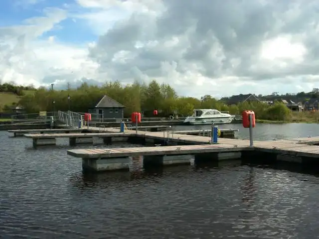
Carrick-on-Shannon to Belturbet on the Shannon–Erne Waterway
11 nights 163 km 32 locks
Start: Carrick-on-Shannon Round trip
With Le Boat, Carrickcraft
Photo: Suse · CC BY-SA 2.0
-
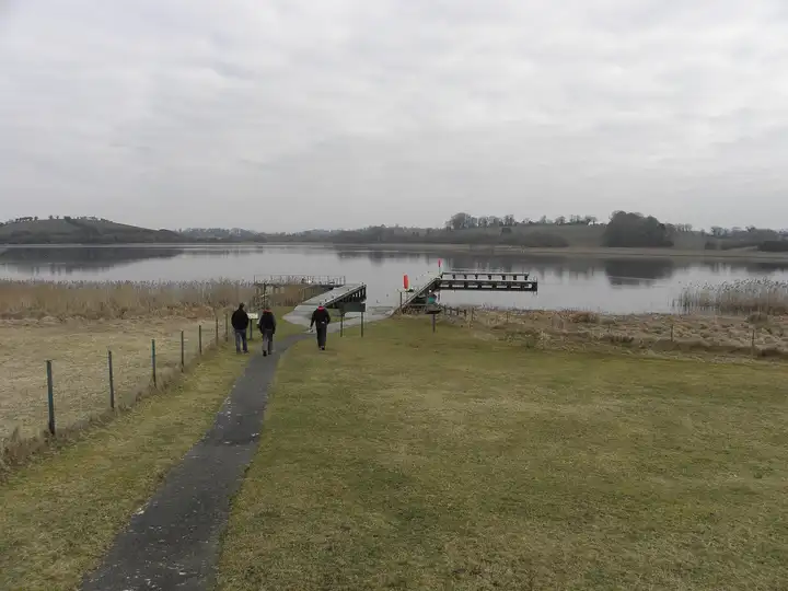
Killadeas island week: Lower Lough Erne, Devenish, Boa Island and Belleek
7 nights 116 km 2 locks
Start: Killadeas Round trip
With Manor House Marine
Photo: Henry Clark · CC BY-SA 2.0
-
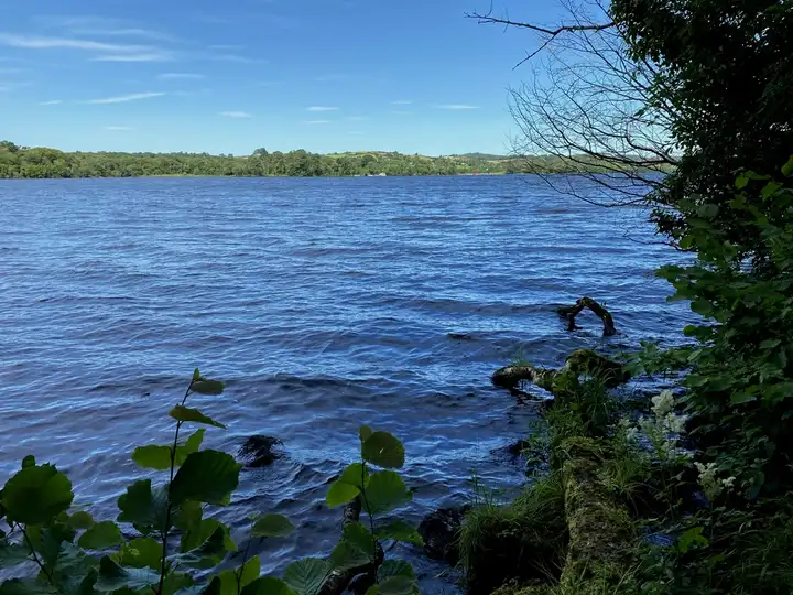
The Erne end to end: Bellanaleck to Belleek and back
7 nights 135 km 2 locks
Start: Bellanaleck Round trip
With Carrickcraft
Photo: Kenneth Allen · CC BY-SA 2.0


