Belturbet
The Erne’s southern gateway in County Cavan: public riverside moorings below the town, a restored railway station and Turbet Island just across the water.
Photo: JagoStudio · CC BY-SA 4.0
The Erne & the Shannon–Erne Waterway Lake Northern Ireland · Ireland
A sheltered maze of wooded islands and narrow channels from Belturbet in County Cavan to the island town of Enniskillen, with no locks, public jetties with a 48-hour limit and the National Trust’s Crom estate on the way.
Days and hours are our estimate: 7.5 km/h and 15 minutes a lock, about six hours a day.
Start from a ready-made trip, or plan your own day by day: distances, locks and overnight moorings.
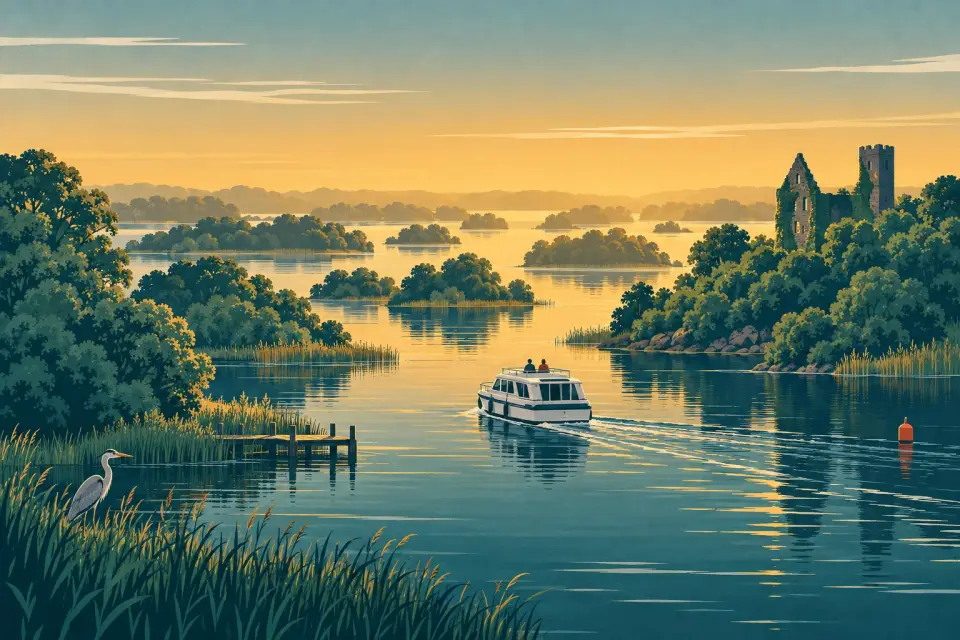
Upper Lough Erne is less an open lake than a labyrinth. The River Erne leaves Belturbet in Co. Cavan, crosses into Co. Fermanagh and spreads into a shallow water about 19 km long, scattered with dozens of wooded islands, reedy bays and channels that often feel like a slow river. It then narrows again past Carrybridge and Bellanaleck to Enniskillen, the island town between the two loughs. The lake is a protected Ramsar wetland, and the National Trust’s Crom estate on its shore, chosen by the BBC as the home of Springwatch in 2026, is one of the richest nature sites in Ireland. There are no locks. Public jetties are spread along the way, several with toilets, showers and a pump-out, and Carrickcraft hires out cruisers from Bellanaleck. Belturbet is the southern gateway, where the Shannon–Erne Waterway arrives from Leitrim, and near Crom the first restored 2.5 km of the Ulster Canal lead up the River Finn to Castle Saunderson. Enniskillen has the shops, pubs and castle at the northern end.
14 stops around the lake.
Desk research, not yet checked on site
The Erne’s southern gateway in County Cavan: public riverside moorings below the town, a restored railway station and Turbet Island just across the water.
Photo: JagoStudio · CC BY-SA 4.0
The end of the restored Ulster Canal: a 2.5 km side trip up the River Finn from Quivvy Lough to a landing jetty below the ruins of Castle Saunderson.
One of the two largest islands of the Upper Lough, with a public jetty and service block near an old graveyard where two carved high-cross shafts survive.
The National Trust’s lakeside estate: a public jetty by the visitor centre, ancient woodland, the ruins of a 17th-century castle and some of the richest wildlife in Ireland.
Photo: Andreas F. Borchert · CC BY-SA 4.0
A small wooded island that has been home to a Hare Krishna community since the 1980s, with a temple in a Victorian house, a visitors’ quay and grounds open to the public.
Ireland’s largest residential activity centre, a charity on a 60-acre estate on the lakeshore near Lisnaskea, with watersports, a pool, chalets and a caravan park.
A public quay on the south-western shore beside Knockninny Hill, with toilets, showers and one of the Upper Lough’s few pump-outs.
Photo: Suse · CC BY-SA 2.0
A private estate island where the Annals of Ulster were written, now a castle, courtyard apartments and cottages let to staying guests, with no public landing.
Photo: Kenneth Allen · CC BY-SA 2.0
A hamlet at the bridge to Inishmore and the best-equipped public stop on the Upper Lough, with toilets, showers, a pump-out, slipway and shore power, and the RNLI’s inland lifeboat.
Photo: Kenneth Allen · CC BY-SA 2.0
Carrickcraft’s Erne hire base and public moorings with services, in a small village on the river a few miles upstream of Enniskillen.
Photo: Kenneth Allen · CC BY-SA 2.0
A family-run farm with guest rooms, a cottage and a small caravan park on the Sillees River near Enniskillen, whose private marina gives courtesy moorings to staying guests.
A lakeside hotel on the Dublin road at the southern edge of Enniskillen, with lodges along the shore, a terrace grill overlooking the water and a bird reserve opposite.
Photo: Kenneth Allen · CC BY-SA 2.0
Fermanagh’s county town, built on an island in the Erne between the two loughs, with the Maguires’ castle and its museums, public jetties at the Broadmeadow and pubs a short walk from the water.
Photo: Joli · CC BY-SA 4.0
Enniskillen’s best-equipped public jetty, in Brook Park within walking distance of the centre, with a pump-out and shore power, and the departure point for cruises to Devenish Island.
Photo: Kenneth Allen · CC BY-SA 2.0
Also on this waterway: Aghalane (Shannon–Erne Waterway) · Portora Lock (Lower Lough Erne)
Pump-out, water, fuel, shore power, showers and laundry where a listing says so, in route order. Tap a stop for who runs it and when.
A stop not listed here may still have them: nobody has checked yet. Know better? Report a change
Mooring limits, locks, speed and hazards, in our own words with links to the sources.
Public jetties on the Erne allow up to 48 hours; then move on for at least four hours before coming back. To stay longer, contact the Lough Erne Warden (+44 28 6632 2836) or find a private berth; the Erne has no winter mooring (boater information).
Portora Lock, just below Enniskillen, is normally left open; at low water its gates are shut and DfI Rivers, which works it for ESB, takes boats through on request (+44 28 6638 8529). The Smart Card for the Shannon–Erne locks also pays for Waterways Ireland showers, pump-outs and shore power (sold in euro or sterling, shop); which Erne service points take it is not yet checked.
Every boat must be registered with Waterways Ireland (free); on the Erne only open boats of 10 hp or less are exempt (registration). The limit is 5 knots; go slower within 200 m of a bridge or jetty and when passing moored boats.
The Erne does not use the Shannon’s red and green lateral marks. Its channel posts carry red-and-white marks: pass on the white side. The posts are numbered to match the chart: keep it to hand.
Waterways Ireland gives 1.2 m draft and 4.2 m air draft as a guide. The lake averages about 2.3 m deep, with rocks and shallows off the marked channel. DfI Rivers keeps the Upper Lough between 150 and 154 ft (Poolbeg datum) from April to September and publishes daily levels.
Belturbet and Castle Saunderson are in Co. Cavan (euro, Met Éireann warnings); the rest in Co. Fermanagh (sterling, Met Office warnings). In an emergency dial 999 or 112 and ask for the Coastguard; the RNLI keeps an inland lifeboat at Carrybridge.
This is a travel guide, not a navigation aid.
Loading the latest conditions…
No locks on this waterway.
No lock or bridge times listed yet.
All lock and bridge times Check the Waterways Ireland marine notices
Hire companies with a base on this waterway.
Carrickcraft Bellanaleck at Bellanaleck
Ready-made trips that start here or pass through.
Photo: Suse · CC BY-SA 2.0
Photo: Kenneth Allen · CC BY-SA 2.0
Photo: Suse · CC BY-SA 2.0
Photo: Henry Clark · CC BY-SA 2.0
No events listed for this waterway yet.
Current Waterways Ireland marine notices for this waterway. The one-line summaries are ours: read the notice itself.
Source: Waterways Ireland · All marine notices on Waterways Ireland
Our marketplace buz.ie
On buz.ie by county: Co. Fermanagh (opens buz.ie in a new tab) Co. Cavan (opens buz.ie in a new tab)
Places on the map that are not near one of our stops. Listed on OpenStreetMap, not checked by us. © OpenStreetMap contributors