
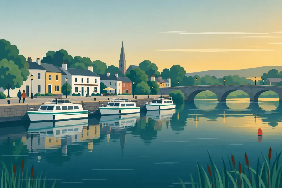
Camlin junction at Corlehan Point
Also part of: Royal Canal
Where the Camlin River leaves the Shannon above Tarmonbarry: the way to Clondra and the Royal Canal, and the route round a closed Tarmonbarry Bridge.
Desk research, not yet checked on site · Position: © OpenStreetMap contributors · Report a change
Moor here
No mooring details yet.
Today
- Loading today’s conditions…
Forecast, warnings and water levels
Weather and water
Loading the latest conditions…
About Camlin junction at Corlehan Point
A few kilometres above Tarmonbarry, at Corlehan Point, the Camlin River branches off the Shannon to the south. Its lower reach is navigable to Clondra, where Richmond Harbour marks the western end of the Royal Canal, and the short Clondra Canal with its lock leads back to the Shannon below Tarmonbarry weir. This loop is the way round whenever Tarmonbarry Lock or Bridge is shut, as in 2021, in April 2024 and in October 2026. It is a smaller waterway than the main river: the Clondra lock is 5.75 m wide, it is worked by the Tarmonbarry lock-keeper, and its bridges are low, 3.20 m under the N5 and 3.50 m under the L1171 (IWAI, 2025): measure your air draft before you commit. Paddlers know the circuit as the 10 km Camlin River Loop of the Shannon Blueway. Clondra and Richmond Harbour are described in our Royal Canal pages.
Not listed yet: eat & drink, things to do and services. Know one? Tell us
Neighbours by water
- Tarmonbarry Bridge See the notice
- Tarmonbarry
- Tarmonbarry Lock Next opening Sat, 31 Oct at 09:30
Show 3 more
- Cloondara Lock (Camlin) Next opening Sat, 31 Oct at 09:30 Royal Canal
- Richmond Harbour, Clondra Royal Canal
- Begnagh Lifting Bridge Royal Canal
≈ distances are computed along the water, not along the marked channel. Times are our estimate: 7.5 km/h and 15 minutes a lock. Check the Waterways Ireland marine notices
Photos
No photos match these filters yet.