

Portora Lock
The only lock on the Erne, at the narrow outflow below Enniskillen: usually open, so most boats pass straight through.
See the notice
Photo: Otter · CC BY-SA 4.0
The Erne & the Shannon–Erne Waterway Lake Northern Ireland
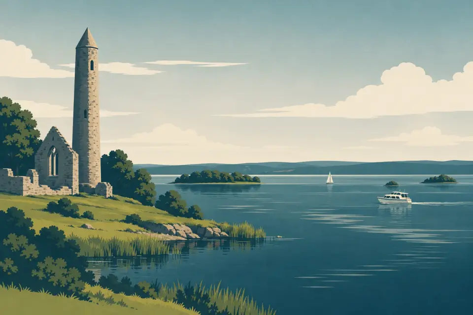
The big, open lake of the Erne system, from Portora Lock below Enniskillen past Devenish, White Island and Boa Island to Belleek on the border, with Killadeas and Kesh for marinas and supplies.
Days and hours are our estimate: 7.5 km/h and 15 minutes a lock, about six hours a day.
Start from a ready-made trip, or plan your own day by day: distances, locks and overnight moorings.
Below Enniskillen the Erne slips through Portora Lock and opens into Lower Lough Erne, the Broad Lough: about 38 km by boat to Belleek, past well over a hundred islands, wooded shores and the limestone Cliffs of Magho along the southern side. It feels bigger and wilder than the Upper Lough, and in a strong wind it can throw up waves like a small sea. The islands are the reason to come. Devenish has one of the finest round towers in Ireland, White Island a row of carved stone figures from around the 10th century, and Boa Island the double-bodied Dreenan figure in Caldragh graveyard; Inishmacsaint, Davy’s Island and Tully Castle add quieter ruins. Killadeas is the boating hub, with a hire base, a private marina, the yacht club and the lifeboat. Castle Archdale has a country park with wartime flying-boat history, Kesh a village marina up a tree-lined river, and Lusty Beg an island resort that welcomes boats arriving for dinner. At the far end Belleek has a public marina, pubs and its famous pottery. Public moorings are free; plan every crossing around the wind.
16 stops around the lake.
Desk research, not yet checked on site
The only lock on the Erne, at the narrow outflow below Enniskillen: usually open, so most boats pass straight through.
Photo: Otter · CC BY-SA 4.0

Lough Erne’s great monastic island, with a round tower of about 25 m, a hilltop priory and a carved 15th-century cross, just below Portora.
Photo: Henry Clark · CC BY-SA 2.0

The boating hub of the Lower Lough: a sheltered private marina with a hire fleet, the yacht club and the lifeboat station on the east shore.
Photo: Rossographer · CC BY-SA 2.0

A quiet island near the south shore where St Ninnid founded a church in the 6th century; its tall, plain stone cross is visible from the water.
Photo: Kenneth Allen · CC BY-SA 2.0
A plantation castle on Tully Point with a boat jetty, restored gardens and a cottage exhibition on the south shore.

A country park on the east shore with a marina, public slipway, pump-out, boat and kayak hire and the story of a wartime flying-boat base.
Photo: Kenneth Allen · CC BY-SA 2.0
A wooded island in Castle Archdale Bay with a ruined 12th-century church, reached only by boat.

A small island in Castle Archdale Bay whose ruined church holds eight enigmatic carved stone figures from around the 9th or 10th century.
Photo: Kenneth Allen · CC BY-SA 2.0

A village up the tree-lined Kesh River, with a public marina, showers and water just below the bridge and shops a few steps away.
Photo: N Chadwick · CC BY-SA 2.0

A busy public jetty near Kesh with toilets, a slipway and a sandy beach popular with families.
Photo: Kenneth Allen · CC BY-SA 2.0

A private 75-acre island resort beside Boa Island with a lakeside restaurant, bar and spa that welcomes boats but gives jetty space first to diners and guests.
Photo: Oliver Dixon · CC BY-SA 2.0
The largest island in Lough Erne, crossed by the A47, where Caldragh graveyard keeps the double-bodied Dreenan figure and the Lustymore figure.
A jetty on the south shore below the Cliffs of Magho, with toilets at the car park and a steep path up to one of Ireland’s great viewpoints.

A wooded peninsula near the west end of the lough with a jetty, forest trails, a ruined castle and a bird sanctuary.
Photo: Kenneth Allen · CC BY-SA 2.0
The 1922 concrete road viaduct across the Erne at Rosscor, where the lough narrows into the river for the last stretch to Belleek.

The end of the navigation and the westernmost village in Northern Ireland, with a public marina, pump-out and the famous Belleek Pottery.
Photo: Nigel Thompson · CC BY-SA 2.0
Also on this waterway: Enniskillen (Upper Lough Erne) · The Round O (Upper Lough Erne)
Pump-out, water, fuel, shore power, showers and laundry where a listing says so, in route order. Tap a stop for who runs it and when.
A stop not listed here may still have them: nobody has checked yet. Know better? Report a change
Mooring limits, locks, speed and hazards, in our own words with links to the sources.
Public moorings on the Erne are free. You may stay up to 48 hours and come back after at least 4 hours away; for longer, contact the Lough Erne Warden (+44 28 6632 2836) or take a private berth. There is no Waterways Ireland winter mooring on the Erne; from 1 November to 17 March, check that the waterway is open before you set out (Waterways Ireland boater info).
The system’s only lock: 36 m long, 6 m wide, 1.2 m draft, 4.2 m air draft. It is normally open. Once the Portora level is falling towards 150 ft, DfI Rivers puts the gates into operation and mans them 08:00–22:30 daily. If it is shut, ring DfI Rivers on +44 28 6638 8529; the daily gate status is on the DfI Lough Erne levels page.
Every boat must be registered with Waterways Ireland (free); on the Erne only open, undecked boats of 10 hp or less are exempt. The limit is 5 knots, and slower within 200 m of bridges and jetties, 100 m of the lock and when passing moored boats.
Erne channel marks are not the Shannon’s red and green: the posts are red and white, and you keep to the white side. Follow the chart from your hire base.
The Broad Lough is open water that builds steep waves in strong winds, and rocks and shallows lie off many islands, so stay inside the marked channels. Hire terms such as Manor House Marine’s rule out cruising after dark. The navigation ends at Belleek; there is no way through to the sea.
Northern Ireland weather warnings come from the Met Office. In an emergency call 999 or 112 and ask for the Coastguard; the RNLI lifeboat is based at Killadeas. Check the marine notices before you set out.
This is a travel guide, not a navigation aid.
Loading the latest conditions…
1 lock on this waterway. The times below are worked out on this device. They change with the season: always read the notice.
All lock and bridge times Check the Waterways Ireland marine notices
Hire companies with a base on this waterway.
Ready-made trips that start here or pass through.
Photo: Henry Clark · CC BY-SA 2.0
Photo: Kenneth Allen · CC BY-SA 2.0
No events listed for this waterway yet.
Current Waterways Ireland marine notices for this waterway.
Source: Waterways Ireland · All marine notices on Waterways Ireland
Our marketplace buz.ie
On buz.ie by county: Co. Fermanagh (opens buz.ie in a new tab)
Places on the map that are not near one of our stops. Listed on OpenStreetMap, not checked by us. © OpenStreetMap contributors